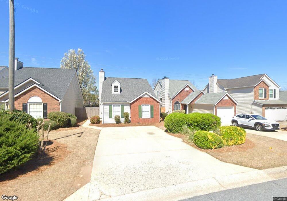
4245 Tenneyson Ln Unit 2 Austell, GA 30106
Estimated Value: $250,832 - $264,000
2
Beds
2
Baths
946
Sq Ft
$272/Sq Ft
Est. Value
About This Home
This home is located at 4245 Tenneyson Ln Unit 2, Austell, GA 30106 and is currently estimated at $257,458, approximately $272 per square foot. 4245 Tenneyson Ln Unit 2 is a home located in Cobb County with nearby schools including Deerwood Elementary School, Clarkdale Elementary School, and Garrett Middle School.
Ownership History
Date
Name
Owned For
Owner Type
Purchase Details
Closed on
Mar 11, 1994
Sold by
Colony Homes
Bought by
Allen Lucretia
Current Estimated Value
Home Financials for this Owner
Home Financials are based on the most recent Mortgage that was taken out on this home.
Original Mortgage
$70,050
Interest Rate
6.97%
Mortgage Type
FHA
Create a Home Valuation Report for This Property
The Home Valuation Report is an in-depth analysis detailing your home's value as well as a comparison with similar homes in the area
Home Values in the Area
Average Home Value in this Area
Purchase History
| Date | Buyer | Sale Price | Title Company |
|---|---|---|---|
| Allen Lucretia | $70,900 | -- |
Source: Public Records
Mortgage History
| Date | Status | Borrower | Loan Amount |
|---|---|---|---|
| Closed | Allen Lucretia | $70,050 |
Source: Public Records
Tax History Compared to Growth
Tax History
| Year | Tax Paid | Tax Assessment Tax Assessment Total Assessment is a certain percentage of the fair market value that is determined by local assessors to be the total taxable value of land and additions on the property. | Land | Improvement |
|---|---|---|---|---|
| 2025 | $2,989 | $99,192 | $20,000 | $79,192 |
| 2024 | $2,991 | $99,192 | $20,000 | $79,192 |
| 2023 | $2,991 | $99,192 | $20,000 | $79,192 |
| 2022 | $1,362 | $63,656 | $9,600 | $54,056 |
| 2021 | $1,082 | $50,880 | $9,600 | $41,280 |
| 2020 | $1,020 | $48,036 | $9,600 | $38,436 |
| 2019 | $1,020 | $48,036 | $9,600 | $38,436 |
| 2018 | $939 | $44,368 | $8,000 | $36,368 |
| 2017 | $610 | $30,632 | $8,000 | $22,632 |
| 2016 | $566 | $28,584 | $9,600 | $18,984 |
| 2015 | $842 | $28,584 | $9,600 | $18,984 |
| 2014 | $591 | $19,876 | $0 | $0 |
Source: Public Records
Map
Nearby Homes
- 4287 Keats Ct
- 4192 Rhinehart Dr
- 4420 Pink Rose Ct
- 2013 Chesley Dr
- 2300 Anderson Mill Rd
- 2085 Lenoa Ln
- 2083 Lenoa Ln
- 2081 Lenoa Ln
- 2034 Drennon Ave
- 2402 Greenside Ct
- 2072 Mcduffie Rd
- 4349 Kousa Rd Unit 4
- 2110 Plum Ln
- 2473 Greenside Ct
- 4470 Austell Rd
- 2163 Willow Ln
- 2373 Buckley Ct
- 2539 Dogwood Hills Ct
- 4247 Tenneyson Ln
- 4243 Tenneyson Ln
- 4249 Tenneyson Ln
- 4241 Tenneyson Ln
- 4251 Tenneyson Ln
- 0 Tenneyson Ln Unit 7018182
- 0 Tenneyson Ln Unit 7078989
- 0 Tenneyson Ln Unit 8096100
- 0 Tenneyson Ln Unit 8261710
- 4239 Tenneyson Ln
- 4253 Tenneyson Ln
- 4237 Tenneyson Ln Unit 2
- 4248 Tenneyson Ln
- 4250 Tenneyson Ln
- 4246 Tenneyson Ln
- 4246 Tenneyson Ln Unit 2
- 4255 Tenneyson Ln
- 4235 Tenneyson Ln Unit 2
- 4244 Tenneyson Ln
- 4256 Tenneyson Ln