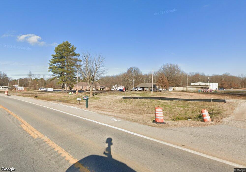
4246 Highway 135 N Paragould, AR 72450
Estimated Value: $175,000 - $267,123
--
Bed
--
Bath
2,250
Sq Ft
$99/Sq Ft
Est. Value
About This Home
This home is located at 4246 Highway 135 N, Paragould, AR 72450 and is currently estimated at $222,531, approximately $98 per square foot. 4246 Highway 135 N is a home located in Greene County with nearby schools including Paragould High School and St. Mary's Catholic School & Preschool.
Ownership History
Date
Name
Owned For
Owner Type
Purchase Details
Closed on
Oct 21, 2022
Sold by
Petracraft Stone Llc
Bought by
Arkansas State Highway Commission
Current Estimated Value
Purchase Details
Closed on
Dec 29, 2010
Sold by
Humphrey Edgar L and Humphrey Carolyn J
Bought by
Petracraft Stone Llc
Home Financials for this Owner
Home Financials are based on the most recent Mortgage that was taken out on this home.
Original Mortgage
$182,000
Interest Rate
4.44%
Purchase Details
Closed on
Aug 1, 2001
Purchase Details
Closed on
Oct 9, 1991
Bought by
Garnet and Wilhite Hatty I
Purchase Details
Closed on
Jan 12, 1979
Bought by
Humphrey Edgar L and Humphrey Carolyn J
Purchase Details
Closed on
Jun 5, 1978
Bought by
Humphrey Edgar L and Humphrey Carolyn J
Purchase Details
Closed on
Mar 28, 1978
Bought by
Humphrey Edgar L and Humphrey Carolyn J
Create a Home Valuation Report for This Property
The Home Valuation Report is an in-depth analysis detailing your home's value as well as a comparison with similar homes in the area
Home Values in the Area
Average Home Value in this Area
Purchase History
| Date | Buyer | Sale Price | Title Company |
|---|---|---|---|
| Arkansas State Highway Commission | $175 | None Listed On Document | |
| Petracraft Stone Llc | $149,909 | None Available | |
| -- | -- | -- | |
| Garnet | -- | -- | |
| Humphrey Edgar L | -- | -- | |
| Humphrey Edgar L | -- | -- | |
| Humphrey Edgar L | -- | -- |
Source: Public Records
Mortgage History
| Date | Status | Borrower | Loan Amount |
|---|---|---|---|
| Previous Owner | Petracraft Stone Llc | $182,000 |
Source: Public Records
Tax History Compared to Growth
Tax History
| Year | Tax Paid | Tax Assessment Tax Assessment Total Assessment is a certain percentage of the fair market value that is determined by local assessors to be the total taxable value of land and additions on the property. | Land | Improvement |
|---|---|---|---|---|
| 2024 | $1,185 | $26,210 | $2,910 | $23,300 |
| 2023 | $2,810 | $62,150 | $12,180 | $49,970 |
| 2022 | $2,812 | $62,190 | $12,220 | $49,970 |
| 2021 | $2,800 | $62,190 | $12,220 | $49,970 |
| 2020 | $2,544 | $56,260 | $4,980 | $51,280 |
| 2019 | $2,545 | $56,260 | $4,980 | $51,280 |
| 2018 | $2,545 | $56,260 | $4,980 | $51,280 |
| 2017 | $2,488 | $56,260 | $4,980 | $51,280 |
| 2016 | $2,489 | $56,260 | $4,980 | $51,280 |
| 2015 | $239 | $6,110 | $3,410 | $2,700 |
| 2014 | -- | $6,110 | $3,410 | $2,700 |
Source: Public Records
Map
Nearby Homes
- 44 Oak Grove Rd
- 285 Lois Ln
- 522 Vaughn Dr
- 3613 Purcell Rd
- Tract 4 Greene 726 Rd
- Tract 3 Greene 726 Rd
- Tract 2 Greene 726 Rd
- Tract 1 Greene 726 Rd
- 000 Hwy 412 Byp Everett Dr
- 422 Sunset Dr
- 3505 Purcell Rd
- 80 James Devaughn
- 181 Misty Marie
- 205 Raymond
- 811 Thorne Dr
- 807 Bard
- 3505 Sweet Gum St
- 0 Hwy 49s Unit 10124883
- 170 Granny Jean Ln
- 620 N St
- 4246 Highway 135 N
- 4465 Highway 135 N
- 4450 Highway 135 N
- 4526 Hwy 135n
- 4526 Highway 135 N
- 4521 Highway 135 N
- 4576 Highway 135 N
- 4914 Highway 135 N
- 368 Oak Grove Rd
- 300 Oak Grove Rd
- 4575 Highway 135 N
- 328 Oak Grove Rd
- 4618 Highway 135 N
- 54 Lancaster Dr
- 4701 Arkansas 135
- 4701 Highway 135 N
- 426 Oak Grove Rd
- 4650 Highway 135 N Unit Oak Grove Heights
- 456 Oak Grove Rd
- 57 Lancaster Dr