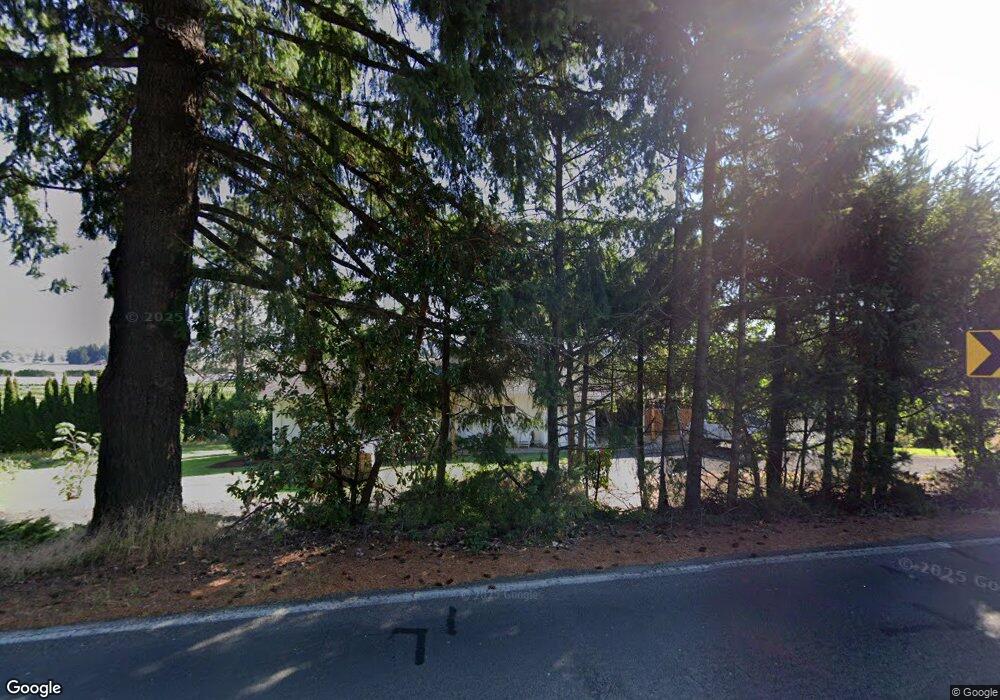
4246 NW Thatcher Rd Forest Grove, OR 97116
Estimated Value: $556,000
4
Beds
3
Baths
--
Sq Ft
436
Sq Ft Lot
About This Home
This home is located at 4246 NW Thatcher Rd, Forest Grove, OR 97116 and is currently estimated at $556,000. 4246 NW Thatcher Rd is a home located in Washington County with nearby schools including Cornelius Elementary School, Tom McCall Upper Elementary School, and Neil Armstrong Middle School.
Create a Home Valuation Report for This Property
The Home Valuation Report is an in-depth analysis detailing your home's value as well as a comparison with similar homes in the area
Home Values in the Area
Average Home Value in this Area
Tax History Compared to Growth
Tax History
| Year | Tax Paid | Tax Assessment Tax Assessment Total Assessment is a certain percentage of the fair market value that is determined by local assessors to be the total taxable value of land and additions on the property. | Land | Improvement |
|---|---|---|---|---|
| 2026 | $3 | $240 | -- | -- |
| 2025 | $3 | $240 | -- | -- |
| 2024 | $3 | $240 | -- | -- |
Source: Public Records
Map
Nearby Homes
- 3934 Coho Cir
- 45585 NW David Hill Rd
- 0 David Hill Unit 20160858
- 44725 NW David Hill Rd
- 45157 NW David Hill Rd
- 1138 37th Ave
- 3728 Huntsman Way
- 0 Ns Unit 279696115
- 3651 Tiana St
- 724 Glade Ave
- 3403 Glade Ave
- 2117 36th Ave Unit Lot 64
- 2133 36th Ave Unit Lot 62
- 871 Butte Dr
- 873 Butte Dr
- 895 Butte Dr
- 875 Butte Dr
- 3327 Hillcrest Way
- 2120 36th Ave
- 2150 36th Ave
- 4263 NW Thatcher Rd
- 4177 NW Thatcher Rd
- 4295 NW Thatcher Rd
- 4352 NW Thatcher Rd
- 4135 NW Thatcher Rd
- 3991 NW Thatcher Rd
- 4143 NW Thatcher Rd
- 4012 NW Thatcher Rd
- 3805 NW Thatcher Rd
- 3690 NW Thatcher Rd
- 3749 NW Thatcher Rd
- 3575 NW Thatcher Rd
- 43578 NW Purdin Rd
- 5039 NW Thatcher Rd
- 45027 NW Kraemer Dr
- 3406 NW Thatcher Rd
- 3934 Coho Cir Unit I9
- 3934 Coho Cir Unit 19
- 3934 Coho Cir Unit A/1
- 3926 Coho Cir Unit 8/H