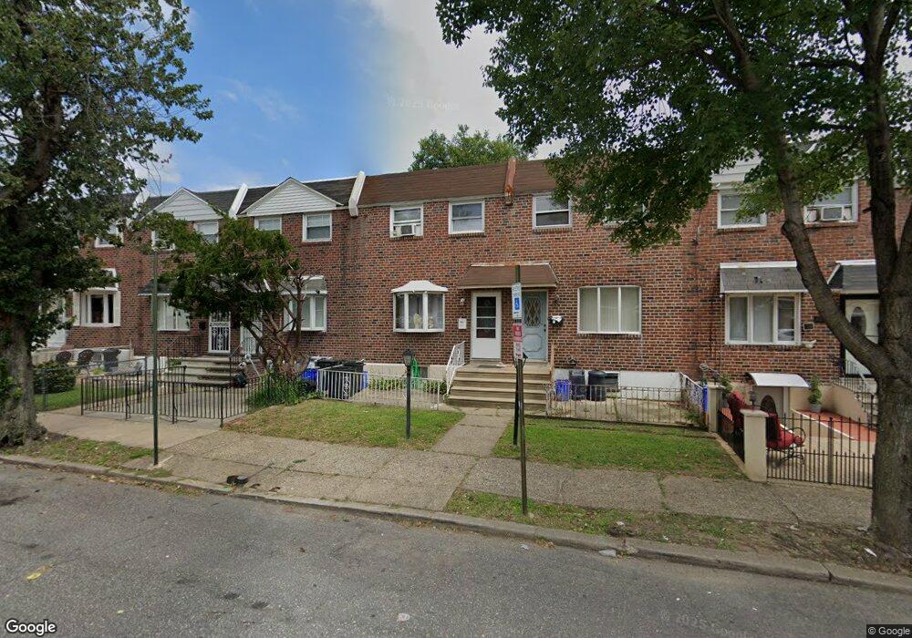
4249 O St Philadelphia, PA 19124
Juniata Park NeighborhoodEstimated Value: $143,000 - $247,000
3
Beds
1
Bath
1,120
Sq Ft
$183/Sq Ft
Est. Value
About This Home
This home is located at 4249 O St, Philadelphia, PA 19124 and is currently estimated at $204,704, approximately $182 per square foot. 4249 O St is a home located in Philadelphia County with nearby schools including Frankford High School, Mariana Bracetti Academy Cs, and Northwood Academy Charter School.
Ownership History
Date
Name
Owned For
Owner Type
Purchase Details
Closed on
May 20, 1998
Sold by
Chatereski Lisa A
Bought by
Concepcion Becky and Concepcion Carlos M
Current Estimated Value
Purchase Details
Closed on
Sep 28, 1995
Sold by
Boltersdorf Edward J and Boltersdorf Elizabeth R
Bought by
Chatereski Lisa A
Purchase Details
Closed on
Sep 20, 1994
Sold by
First Equitable Realty Ltd Partnership
Bought by
Heupler Kathleen E
Create a Home Valuation Report for This Property
The Home Valuation Report is an in-depth analysis detailing your home's value as well as a comparison with similar homes in the area
Home Values in the Area
Average Home Value in this Area
Purchase History
| Date | Buyer | Sale Price | Title Company |
|---|---|---|---|
| Concepcion Becky | $53,500 | -- | |
| Chatereski Lisa A | $48,900 | -- | |
| Heupler Kathleen E | $73,400 | Commonwealth Land Title Ins |
Source: Public Records
Tax History Compared to Growth
Tax History
| Year | Tax Paid | Tax Assessment Tax Assessment Total Assessment is a certain percentage of the fair market value that is determined by local assessors to be the total taxable value of land and additions on the property. | Land | Improvement |
|---|---|---|---|---|
| 2026 | $2,027 | $164,100 | $32,820 | $131,280 |
| 2025 | $2,027 | $164,100 | $32,820 | $131,280 |
| 2024 | $2,027 | $164,100 | $32,820 | $131,280 |
| 2023 | $2,027 | $144,800 | $28,960 | $115,840 |
| 2022 | $869 | $99,800 | $28,960 | $70,840 |
| 2021 | $1,499 | $0 | $0 | $0 |
| 2020 | $1,499 | $0 | $0 | $0 |
| 2019 | $1,391 | $0 | $0 | $0 |
| 2018 | $1,114 | $0 | $0 | $0 |
| 2017 | $1,114 | $0 | $0 | $0 |
| 2016 | $694 | $0 | $0 | $0 |
| 2015 | $665 | $0 | $0 | $0 |
| 2014 | -- | $79,600 | $14,147 | $65,453 |
| 2012 | -- | $12,864 | $979 | $11,885 |
Source: Public Records
Map
Nearby Homes
- 4254 O St
- 4222 O St
- 4264 Neilson St
- 4238 Castor Ave
- 4218 Castor Ave
- 1420-22 Deal St
- 1417 Deal St
- 1419 Deal St
- 1501 Womrath St
- 1512 Adams Ave
- 1554 E Lycoming St
- 1400 E Bristol St
- 4150 Maywood St
- 4252 M St
- 1319 Church St
- 4229 Griscom St
- 1519 Womrath St
- 4247 Glendale St
- 4042 Castor Ave
- 4321 Elizabeth St