425 Breezeview Cir Macon, GA 31220
Lake Wildwood NeighborhoodEstimated Value: $152,948 - $177,000
3
Beds
2
Baths
1,207
Sq Ft
$140/Sq Ft
Est. Value
About This Home
This home is located at 425 Breezeview Cir, Macon, GA 31220 and is currently estimated at $168,987, approximately $140 per square foot. 425 Breezeview Cir is a home located in Bibb County with nearby schools including Heritage Elementary School, Weaver Middle School, and Westside High School.
Ownership History
Date
Name
Owned For
Owner Type
Purchase Details
Closed on
Sep 3, 2021
Sold by
You 2 Own Inc
Bought by
Nava Angel D
Current Estimated Value
Purchase Details
Closed on
Jun 21, 2017
Sold by
Arnett Virginia Hough
Bought by
You 2 Own Inc
Home Financials for this Owner
Home Financials are based on the most recent Mortgage that was taken out on this home.
Original Mortgage
$54,230
Interest Rate
3.95%
Mortgage Type
Construction
Purchase Details
Closed on
Aug 24, 2016
Sold by
Hough Virginia
Bought by
Arnett Franklin Pat
Purchase Details
Closed on
Aug 31, 1977
Sold by
Avco Comm Dev Inc
Bought by
Arnett Joseph T
Create a Home Valuation Report for This Property
The Home Valuation Report is an in-depth analysis detailing your home's value as well as a comparison with similar homes in the area
Home Values in the Area
Average Home Value in this Area
Purchase History
| Date | Buyer | Sale Price | Title Company |
|---|---|---|---|
| Nava Angel D | $80,000 | None Available | |
| You 2 Own Inc | $40,000 | None Available | |
| You 2 Own Inc | -- | None Available | |
| Arnett Franklin Pat | -- | -- | |
| Arnett Joseph T | $35,000 | -- |
Source: Public Records
Mortgage History
| Date | Status | Borrower | Loan Amount |
|---|---|---|---|
| Previous Owner | You 2 Own Inc | $54,230 |
Source: Public Records
Tax History Compared to Growth
Tax History
| Year | Tax Paid | Tax Assessment Tax Assessment Total Assessment is a certain percentage of the fair market value that is determined by local assessors to be the total taxable value of land and additions on the property. | Land | Improvement |
|---|---|---|---|---|
| 2025 | $1,406 | $57,214 | $15,984 | $41,230 |
| 2024 | $1,453 | $57,214 | $15,984 | $41,230 |
| 2023 | $1,201 | $47,297 | $13,320 | $33,977 |
| 2022 | $1,589 | $45,910 | $13,356 | $32,554 |
| 2021 | $1,530 | $40,254 | $12,720 | $27,534 |
| 2020 | $1,473 | $37,942 | $12,720 | $25,222 |
| 2019 | $1,371 | $35,015 | $10,430 | $24,585 |
| 2018 | $1,139 | $30,492 | $8,866 | $21,626 |
| 2017 | $995 | $26,553 | $6,780 | $19,773 |
| 2016 | $919 | $26,553 | $6,780 | $19,773 |
| 2015 | $599 | $26,553 | $6,780 | $19,773 |
| 2014 | $948 | $33,693 | $10,430 | $23,262 |
Source: Public Records
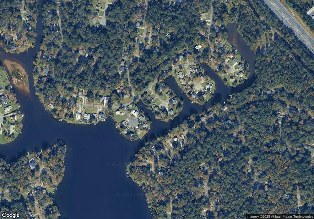
Map
Nearby Homes
- 363 Jefferson Park Dr
- 260 Edgewater Dr
- 959 S Confederate Dr
- 378 Fox Tail Dr
- 221 Jefferson Cir
- 210 Jefferson Park Dr
- 1154 N Plantation Pkwy
- 1181 Sandy Beach Dr
- 1137 N Plantation Pkwy
- 587 Lacebark Dr
- 565 Lacebark Dr
- 578 Bristle Cone Dr
- 1069 Greentree Pkwy
- 180 Autumn Trace Ct
- 1225 Greentree Pkwy
- 543 Loblolly Ln
- 200 Autumn Trace Ct
- 900 S Plantation Pkwy
- 678 Will Scarlet Way
- 427 Table Mountain Dr
- 435 Breezeview Cir
- 405 Breezeview Cir
- 401 Bohannon Dr
- 424 Breezeview Cir
- 422 Panorama Place Unit 117
- 434 Breezeview Cir
- 404 Breezeview Cir
- 412 Panorama Place
- 432 Panorama Place
- 442 Panorama Place
- 374 Jefferson Park Dr
- 396 Edgewater Dr
- 847 N Confederate Dr
- 843 N Confederate Dr
- 851 N Confederate Dr
- 433 Panorama Place
- 425 Clearview Ct
- 0 Edgewater Dr Unit 8607963
- 0 Edgewater Dr Unit 8815788
- 855 N Confederate Dr