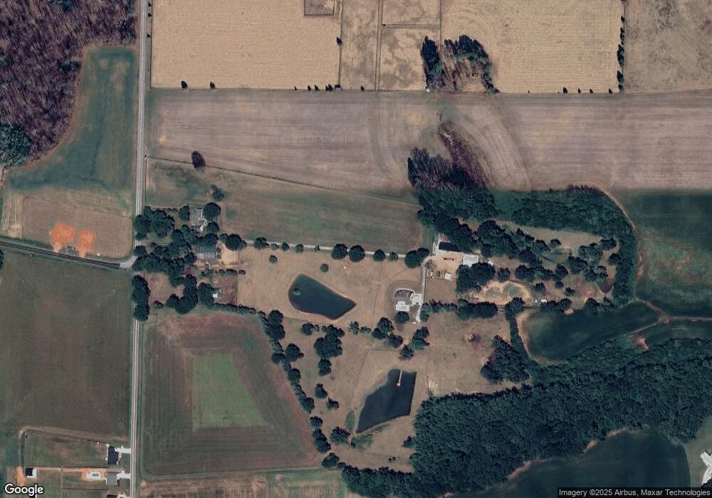
425 Briggs Rd Salisbury, NC 28147
Estimated Value: $365,000 - $653,000
Studio
3
Baths
2,365
Sq Ft
$207/Sq Ft
Est. Value
About This Home
This home is located at 425 Briggs Rd, Salisbury, NC 28147 and is currently estimated at $488,977, approximately $206 per square foot. 425 Briggs Rd is a home located in Rowan County with nearby schools including Mount Ulla Elementary School, West Rowan Middle School, and West Rowan High School.
Ownership History
Date
Name
Owned For
Owner Type
Purchase Details
Closed on
Feb 8, 2019
Sold by
Armstrong Cody F and Armstrong Brandi B
Bought by
Armstrong Cody F and Armstrong Brandi B
Current Estimated Value
Purchase Details
Closed on
Jul 23, 2018
Sold by
Armstrong Anthony B and Armstrong Lisa F
Bought by
Armstrong Cody F
Purchase Details
Closed on
May 14, 2018
Sold by
Armstrong Anthny D and Armstrong Lisa F
Bought by
Armstrong Cody F
Purchase Details
Closed on
Oct 24, 2016
Sold by
Armstrong Anthony B and Armstrong Lisa F
Bought by
Armstrong Anthony B and Armstrong Lisa F
Purchase Details
Closed on
Mar 4, 1997
Bought by
Armstrong Lisa Follette
Create a Home Valuation Report for This Property
The Home Valuation Report is an in-depth analysis detailing your home's value as well as a comparison with similar homes in the area
Purchase History
| Date | Buyer | Sale Price | Title Company |
|---|---|---|---|
| Armstrong Cody F | -- | None Available | |
| Armstrong Cody F | -- | None Available | |
| Armstrong Cody F | -- | None Available | |
| Armstrong Anthony B | -- | None Available | |
| Armstrong Lisa Follette | -- | -- |
Source: Public Records
Tax History
| Year | Tax Paid | Tax Assessment Tax Assessment Total Assessment is a certain percentage of the fair market value that is determined by local assessors to be the total taxable value of land and additions on the property. | Land | Improvement |
|---|---|---|---|---|
| 2025 | $2,590 | $382,262 | $47,320 | $334,942 |
| 2024 | $2,590 | $382,262 | $47,320 | $334,942 |
| 2023 | $2,590 | $382,262 | $47,320 | $334,942 |
| 2022 | $2,089 | $276,745 | $38,820 | $237,925 |
| 2021 | $2,069 | $276,745 | $38,820 | $237,925 |
| 2020 | $2,069 | $276,745 | $38,820 | $237,925 |
| 2019 | $2,069 | $276,745 | $38,820 | $237,925 |
| 2018 | $1,817 | $399,976 | $202,275 | $197,701 |
| 2017 | $1,609 | $371,902 | $202,275 | $169,627 |
| 2016 | $1,360 | $192,061 | $35,934 | $156,127 |
| 2015 | $1,377 | $192,061 | $35,934 | $156,127 |
| 2014 | $1,327 | $194,150 | $35,934 | $158,216 |
Source: Public Records
Map
Nearby Homes
- 000 Mooresville Rd
- 4712 Mooresville Rd
- 4710 Mooresville Rd
- 135 Devon Dr
- 2885 Wright Ave
- 1300 Briarwood Terrace
- 245 Spicewood Ln Unit 25
- 170 Heritage Ln
- 2370 Briggs Rd
- 0 Mooresville Rd Unit CAR4356691
- 4115 Miller Rd
- 1348 Greenheather Dr
- 1325 Coppergate Dr
- 2170 Neel Rd
- 1005 Coppergate Dr
- 170 Saint James Way
- 7195 Mooresville Rd
- 1033 Stonegate Dr
- 1115 Stonegate Dr
- 1063 Stonegate Dr
- 0 Goodnight Rd
- 375 Briggs Rd
- 375 Briggs Rd
- 435 Briggs Rd
- 250 Goodnight Rd
- 680 Briggs Rd
- 254 Briggs Rd
- 655 Briggs Rd
- 234 Briggs Rd
- 200 Briggs Rd
- 715 Briggs Rd
- 210 Briggs Rd
- 755 Briggs Rd
- 180 Briggs Rd
- 345 Goodnight Rd
- 705 Briggs Rd
- 5506 Mooresville Rd
- 785 Briggs Rd
- 410 Goodnight Rd
- 5180 Mooresville Rd
Your Personal Tour Guide
Ask me questions while you tour the home.