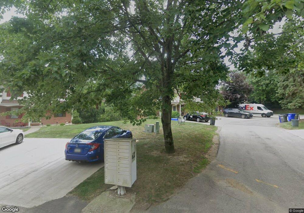
425 Brookside Ct Seven Fields, PA 16046
Estimated Value: $199,322 - $234,000
Studio
--
Bath
--
Sq Ft
3,136
Sq Ft Lot
About This Home
This home is located at 425 Brookside Ct, Seven Fields, PA 16046 and is currently estimated at $220,581. 425 Brookside Ct is a home located in Butler County with nearby schools including Rowan Elementary School, Haine Middle School, and Ryan Gloyer Middle School.
Ownership History
Date
Name
Owned For
Owner Type
Purchase Details
Closed on
Jun 10, 2024
Sold by
Delledonne Renette I
Bought by
Quinlan Stephen J and Quinlan Gina R
Current Estimated Value
Home Financials for this Owner
Home Financials are based on the most recent Mortgage that was taken out on this home.
Original Mortgage
$112,000
Outstanding Balance
$111,060
Interest Rate
7.17%
Mortgage Type
New Conventional
Estimated Equity
$109,521
Create a Home Valuation Report for This Property
The Home Valuation Report is an in-depth analysis detailing your home's value as well as a comparison with similar homes in the area
Home Values in the Area
Average Home Value in this Area
Purchase History
| Date | Buyer | Sale Price | Title Company |
|---|---|---|---|
| Quinlan Stephen J | $140,000 | None Listed On Document |
Source: Public Records
Mortgage History
| Date | Status | Borrower | Loan Amount |
|---|---|---|---|
| Open | Quinlan Stephen J | $112,000 |
Source: Public Records
Tax History
| Year | Tax Paid | Tax Assessment Tax Assessment Total Assessment is a certain percentage of the fair market value that is determined by local assessors to be the total taxable value of land and additions on the property. | Land | Improvement |
|---|---|---|---|---|
| 2025 | $2,454 | $14,190 | $1,550 | $12,640 |
| 2024 | $2,379 | $14,190 | $1,550 | $12,640 |
| 2023 | $2,342 | $14,190 | $1,550 | $12,640 |
| 2022 | $2,342 | $14,190 | $1,550 | $12,640 |
| 2021 | $2,306 | $14,190 | $0 | $0 |
| 2020 | $2,306 | $14,190 | $1,550 | $12,640 |
| 2019 | $2,279 | $14,190 | $1,550 | $12,640 |
| 2018 | $2,279 | $14,190 | $1,550 | $12,640 |
| 2017 | $2,237 | $14,190 | $1,550 | $12,640 |
| 2016 | $541 | $14,190 | $1,550 | $12,640 |
| 2015 | $288 | $14,190 | $1,550 | $12,640 |
| 2014 | $288 | $14,190 | $1,550 | $12,640 |
Source: Public Records
Map
Nearby Homes
- 182 Woodhaven Dr
- 162 Woodhaven Dr
- 110 Aspen Ln
- 535 Pine Bluff Dr
- 639 White Pine Dr
- 101 Brookshire Dr
- 112 Southern Valley Ct
- 154 Southern Valley Ct
- 238 Cumberland Dr
- 6742 Old Mars Crider Rd
- 304 Scenic Ridge Ct
- 703 Ivy Ln
- 713 Ivy Ln
- 809 Mount Pleasant Rd
- 410 Scharberry Ln
- 144 Broadstone Dr
- 318 Village Dr
- 805 Mount Pleasant Rd
- 742 Ivy Ln
- 200 Jaclyn Dr
- 427 Brookside Ct
- 423 Brookside Ct
- 429 Brookside Ct
- 431 Brookside Ct
- 421 Brookside Ct
- 419 Brookside Ct
- 433 Brookside Ct
- 417 Brookside Ct
- 435 Brookside Ct
- 415 Brookside Ct
- 412 Brookside Ct
- 413 Brookside Ct
- 414 Brookside Ct
- 416 Brookside Ct
- 418 Brookside Ct
- 410 Brookside Ct
- 408 Brookside Ct
- 404 Brookside Ct
- 406 Brookside Ct
- 411 Brookside Ct
Your Personal Tour Guide
Ask me questions while you tour the home.
