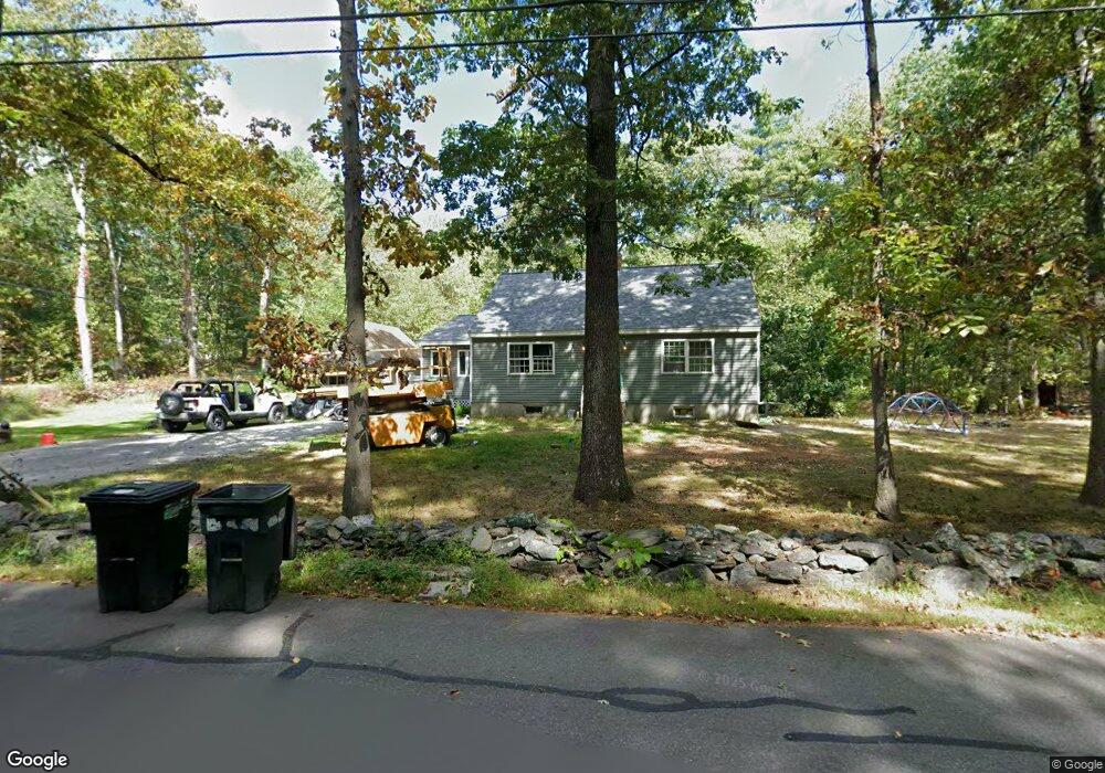
425 Burrage St Lunenburg, MA 01462
Estimated Value: $436,000 - $542,650
4
Beds
3
Baths
1,753
Sq Ft
$277/Sq Ft
Est. Value
About This Home
This home is located at 425 Burrage St, Lunenburg, MA 01462 and is currently estimated at $484,913, approximately $276 per square foot. 425 Burrage St is a home located in Worcester County with nearby schools including Lunenburg Primary School and Lunenburg High School.
Ownership History
Date
Name
Owned For
Owner Type
Purchase Details
Closed on
Aug 6, 2012
Sold by
Est Boyle Joseph and Boyle Norman
Bought by
Chartier Lisa B
Current Estimated Value
Purchase Details
Closed on
Dec 4, 1974
Bought by
Boyle-Chartier Lisa
Create a Home Valuation Report for This Property
The Home Valuation Report is an in-depth analysis detailing your home's value as well as a comparison with similar homes in the area
Home Values in the Area
Average Home Value in this Area
Purchase History
| Date | Buyer | Sale Price | Title Company |
|---|---|---|---|
| Chartier Lisa B | -- | -- | |
| Boyle-Chartier Lisa | $37,000 | -- |
Source: Public Records
Mortgage History
| Date | Status | Borrower | Loan Amount |
|---|---|---|---|
| Previous Owner | Boyle-Chartier Lisa | $15,000 | |
| Previous Owner | Boyle-Chartier Lisa | $30,800 | |
| Previous Owner | Boyle-Chartier Lisa | $10,000 | |
| Previous Owner | Boyle-Chartier Lisa | $25,900 |
Source: Public Records
Tax History
| Year | Tax Paid | Tax Assessment Tax Assessment Total Assessment is a certain percentage of the fair market value that is determined by local assessors to be the total taxable value of land and additions on the property. | Land | Improvement |
|---|---|---|---|---|
| 2025 | $6,160 | $429,000 | $140,400 | $288,600 |
| 2024 | $6,004 | $425,800 | $132,400 | $293,400 |
| 2023 | $5,756 | $393,700 | $120,400 | $273,300 |
| 2022 | $5,126 | $298,200 | $100,300 | $197,900 |
| 2020 | $4,909 | $270,900 | $100,400 | $170,500 |
| 2019 | $4,786 | $256,200 | $94,600 | $161,600 |
| 2018 | $4,651 | $236,100 | $94,600 | $141,500 |
| 2017 | $4,432 | $221,800 | $90,400 | $131,400 |
| 2016 | $4,204 | $214,400 | $85,900 | $128,500 |
| 2015 | $3,792 | $207,000 | $81,500 | $125,500 |
Source: Public Records
Map
Nearby Homes
- 601 Flat Hill Rd
- 11 Longwood Dr
- 45 Spring St
- 120 Robbs Hill Rd
- 110 Burrage St
- 12 Cortland Cir Unit 12
- 44 Fire Road 12
- Lot 5 Townsend Rd
- 146-148 Kilburn St
- 11 Ambrose Way Unit 9
- 43 Ambrose Way Unit 43
- 10 Ambrose Way Unit 10
- 31 Ambrose Way Unit 31
- 34 Ambrose Way Unit 34
- 12 Ambrose Way Unit 12
- 6 Ambrose Way Unit 3
- 2 Ambrose Way Unit 2
- 9 Ambrose Way Unit 9
- 41 Ambrose Way Unit 41
- 1 Ambrose Way Unit 1
- 607 Flat Hill Rd
- 607 Flat Hill Rd Unit 607
- 414 Burrage St
- 443 Burrage St
- 411 Burrage St
- 595 Flat Hill Rd
- 609 Flat Hill Rd
- 598 Flat Hill Rd
- 463 Burrage St
- 398 Burrage St
- 644 Flat Hill Rd
- 654 Flat Hill Rd
- 473 Burrage St
- 393 Burrage St
- 390 Burrage St
- 586 Flat Hill Rd
- 381 Burrage St
- 664 Flat Hill Rd
- 589 Flat Hill Rd
- 483 Burrage St
Your Personal Tour Guide
Ask me questions while you tour the home.