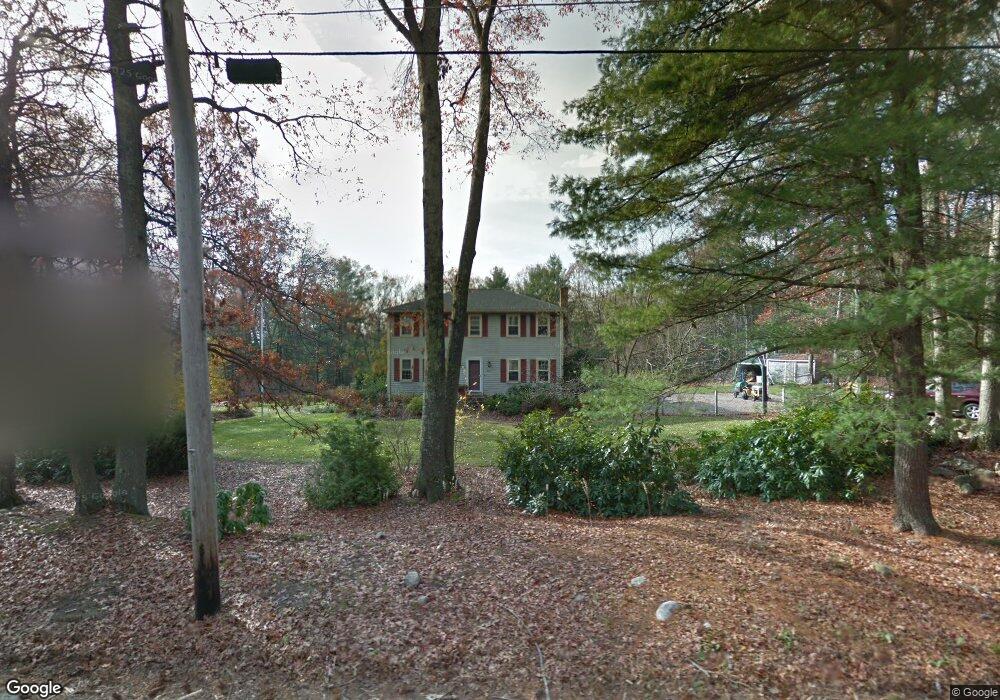
425 Chestnut St Wrentham, MA 02093
Sheldonville NeighborhoodEstimated Value: $693,627 - $948,000
4
Beds
2
Baths
2,158
Sq Ft
$358/Sq Ft
Est. Value
About This Home
This home is located at 425 Chestnut St, Wrentham, MA 02093 and is currently estimated at $772,407, approximately $357 per square foot. 425 Chestnut St is a home located in Norfolk County with nearby schools including Delaney Elementary School, Charles E Roderick, and Mercymount Country Day School.
Ownership History
Date
Name
Owned For
Owner Type
Purchase Details
Closed on
Mar 23, 1979
Bought by
Tuohy John S and Tuohy Clair A
Current Estimated Value
Create a Home Valuation Report for This Property
The Home Valuation Report is an in-depth analysis detailing your home's value as well as a comparison with similar homes in the area
Home Values in the Area
Average Home Value in this Area
Purchase History
| Date | Buyer | Sale Price | Title Company |
|---|---|---|---|
| Tuohy John S | -- | -- |
Source: Public Records
Mortgage History
| Date | Status | Borrower | Loan Amount |
|---|---|---|---|
| Open | Tuohy John S | $297,000 | |
| Closed | Tuohy John S | $175,000 |
Source: Public Records
Tax History
| Year | Tax Paid | Tax Assessment Tax Assessment Total Assessment is a certain percentage of the fair market value that is determined by local assessors to be the total taxable value of land and additions on the property. | Land | Improvement |
|---|---|---|---|---|
| 2025 | $7,684 | $663,000 | $323,100 | $339,900 |
| 2024 | $7,520 | $626,700 | $323,100 | $303,600 |
| 2023 | $7,226 | $572,600 | $293,900 | $278,700 |
| 2022 | $6,440 | $471,100 | $234,200 | $236,900 |
| 2021 | $5,870 | $417,200 | $198,500 | $218,700 |
| 2020 | $5,642 | $395,900 | $164,400 | $231,500 |
| 2019 | $5,703 | $403,900 | $182,600 | $221,300 |
| 2018 | $6,026 | $423,200 | $182,400 | $240,800 |
| 2017 | $5,891 | $413,400 | $178,900 | $234,500 |
| 2016 | $5,766 | $403,800 | $173,700 | $230,100 |
| 2015 | $5,683 | $379,400 | $167,000 | $212,400 |
| 2014 | $5,594 | $365,400 | $160,600 | $204,800 |
Source: Public Records
Map
Nearby Homes
- 955 Summer St
- 440 Chestnut St
- 0 Fall Ln
- 613 West St
- 139 King St Unit 306
- 82 Uncas Ave
- 82 Uncas Ave Unit 1
- 80 Uncas Ave
- 20 Field Cir
- 66 Uncas Ave
- 68 Uncas Ave
- 76 Uncas Ave
- 64 Uncas Ave
- 62 Uncas Ave
- 10 Earle Stewart Ln Unit Lot 5
- 12 Earle Stewart Ln
- 2 Earle Stewart Ln
- 99 Summer St
- 1 Washington St
- 3 Earle Stewart Ln
- 415 Chestnut St
- 435 Chestnut St
- 400 Chestnut St
- 430 Chestnut St
- 380 Chestnut St
- 445 Chestnut St
- 405 Chestnut St
- 450 Chestnut St
- 360 Chestnut St
- 455 Chestnut St
- 391 Chestnut St
- 358 Chestnut St
- 460 Chestnut St
- 32 Mount St
- 356 Chestnut St
- 381 Chestnut St
- 475 Chestnut St
- 30 Mount St
- 31 Mount St
- 371 Chestnut St
Your Personal Tour Guide
Ask me questions while you tour the home.