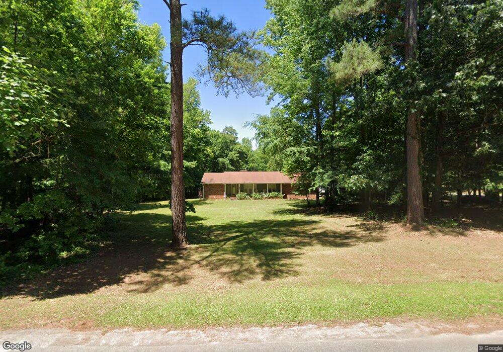
425 Darren Dr Fayetteville, GA 30215
Whitewater NeighborhoodEstimated Value: $595,409 - $648,000
3
Beds
2
Baths
1,895
Sq Ft
$329/Sq Ft
Est. Value
About This Home
This home is located at 425 Darren Dr, Fayetteville, GA 30215 and is currently estimated at $623,852, approximately $329 per square foot. 425 Darren Dr is a home located in Fayette County with nearby schools including Peeples Elementary School, Rising Starr Middle School, and Starrs Mill High School.
Ownership History
Date
Name
Owned For
Owner Type
Purchase Details
Closed on
May 7, 2010
Sold by
Mangum Joab O
Bought by
Hester Julie B
Current Estimated Value
Home Financials for this Owner
Home Financials are based on the most recent Mortgage that was taken out on this home.
Original Mortgage
$150,562
Outstanding Balance
$101,899
Interest Rate
5.25%
Mortgage Type
FHA
Estimated Equity
$521,953
Purchase Details
Closed on
Jun 12, 2008
Sold by
Mangum Katheryne T
Bought by
Mangum Joe O
Create a Home Valuation Report for This Property
The Home Valuation Report is an in-depth analysis detailing your home's value as well as a comparison with similar homes in the area
Home Values in the Area
Average Home Value in this Area
Purchase History
| Date | Buyer | Sale Price | Title Company |
|---|---|---|---|
| Hester Julie B | $152,600 | -- | |
| Mangum Joe O | -- | -- |
Source: Public Records
Mortgage History
| Date | Status | Borrower | Loan Amount |
|---|---|---|---|
| Open | Hester Julie B | $150,562 |
Source: Public Records
Tax History Compared to Growth
Tax History
| Year | Tax Paid | Tax Assessment Tax Assessment Total Assessment is a certain percentage of the fair market value that is determined by local assessors to be the total taxable value of land and additions on the property. | Land | Improvement |
|---|---|---|---|---|
| 2024 | $2,101 | $213,176 | $63,732 | $149,444 |
| 2023 | $2,101 | $197,668 | $55,508 | $142,160 |
| 2022 | $2,122 | $188,288 | $53,448 | $134,840 |
| 2021 | $2,097 | $170,016 | $49,336 | $120,680 |
| 2020 | $2,681 | $149,716 | $42,276 | $107,440 |
| 2019 | $2,602 | $143,716 | $42,276 | $101,440 |
| 2018 | $2,379 | $130,432 | $36,512 | $93,920 |
| 2017 | $2,124 | $115,948 | $34,588 | $81,360 |
| 2016 | $1,981 | $105,388 | $34,588 | $70,800 |
| 2015 | $1,881 | $98,348 | $34,588 | $63,760 |
| 2014 | $1,776 | $90,828 | $34,588 | $56,240 |
| 2013 | -- | $85,632 | $0 | $0 |
Source: Public Records
Map
Nearby Homes
- 360 Darren Dr
- 270 Carrolls Way
- LOT 13 Carrolls Way
- 370 Woodcreek Ln Unit 4A
- 230 Stonehaven Dr
- 0 Btwn 1653 & 1693 85 Highway S Hwy Unit 7661854
- 155 W Creek Ct
- 259 Massengale Rd
- 105 Kraftwood Park
- 180 Brechin Dr
- 423 Holly Grove Church Rd
- 205 Newhaven Dr
- 202 Pinnacle Ct
- 770 Tralee Dr
- 220 Lavender Oasis
- 135 Troon Dr
- 120 Kapalua Point
- 1607 Dumbarton Ln
- 418 Holly Brook Ln
- 261 Highway 85 Connector
- 415 Darren Dr
- 0 Seneca Place Unit 3232742
- 0 Seneca Place Unit 7026454
- 0 Seneca Place
- 435 Darren Dr
- 410 Darren Dr
- 400 Darren Dr
- 420 Darren Dr
- 445 Darren Dr
- 405 Darren Dr
- 430 Darren Dr
- 130 Seneca Place
- 105 Seneca Place
- 390 Darren Dr
- 150 Seneca Place
- 150 Seneca Place
- 395 Darren Dr
- 135 Seneca Place
- 380 Darren Dr
- 405 Postwood Dr