425 E Mount Airy Rd Stevens, PA 17578
Estimated Value: $365,701 - $488,000
3
Beds
2
Baths
1,456
Sq Ft
$289/Sq Ft
Est. Value
About This Home
This home is located at 425 E Mount Airy Rd, Stevens, PA 17578 and is currently estimated at $420,425, approximately $288 per square foot. 425 E Mount Airy Rd is a home located in Lancaster County with nearby schools including Clay Elementary School, Ephrata Intermediate School, and Ephrata Senior High School.
Ownership History
Date
Name
Owned For
Owner Type
Purchase Details
Closed on
Jun 28, 1999
Sold by
Fox Kenneth W and Fox Karen Fay
Bought by
Martin Dennis R and Martin Linda Z
Current Estimated Value
Home Financials for this Owner
Home Financials are based on the most recent Mortgage that was taken out on this home.
Original Mortgage
$110,000
Interest Rate
7.19%
Create a Home Valuation Report for This Property
The Home Valuation Report is an in-depth analysis detailing your home's value as well as a comparison with similar homes in the area
Home Values in the Area
Average Home Value in this Area
Purchase History
| Date | Buyer | Sale Price | Title Company |
|---|---|---|---|
| Martin Dennis R | $154,000 | -- |
Source: Public Records
Mortgage History
| Date | Status | Borrower | Loan Amount |
|---|---|---|---|
| Previous Owner | Martin Dennis R | $110,000 |
Source: Public Records
Tax History Compared to Growth
Tax History
| Year | Tax Paid | Tax Assessment Tax Assessment Total Assessment is a certain percentage of the fair market value that is determined by local assessors to be the total taxable value of land and additions on the property. | Land | Improvement |
|---|---|---|---|---|
| 2025 | $4,530 | $197,800 | $70,400 | $127,400 |
| 2024 | $4,530 | $197,800 | $70,400 | $127,400 |
| 2023 | $4,413 | $197,800 | $70,400 | $127,400 |
| 2022 | $4,312 | $197,800 | $70,400 | $127,400 |
| 2021 | $4,219 | $197,800 | $70,400 | $127,400 |
| 2020 | $4,219 | $197,800 | $70,400 | $127,400 |
| 2019 | $4,160 | $197,800 | $70,400 | $127,400 |
| 2018 | $3,225 | $197,800 | $70,400 | $127,400 |
| 2017 | $5,003 | $196,300 | $43,600 | $152,700 |
| 2016 | $5,003 | $196,300 | $43,600 | $152,700 |
| 2015 | $988 | $196,300 | $43,600 | $152,700 |
| 2014 | $3,720 | $196,300 | $43,600 | $152,700 |
Source: Public Records
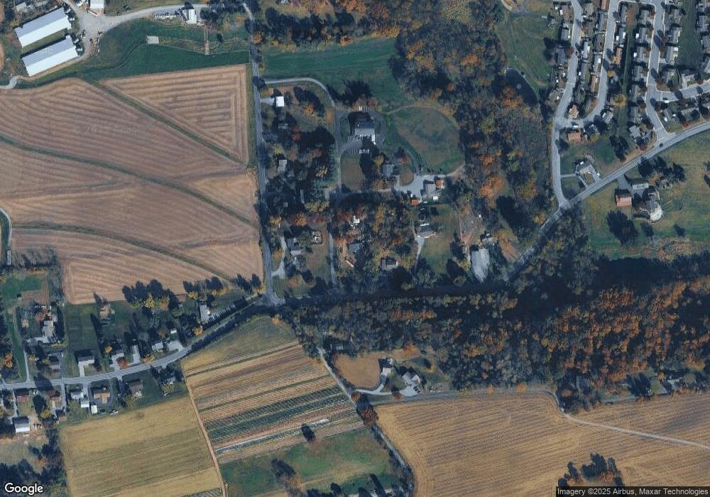
Map
Nearby Homes
- 125 Indiantown Rd
- 490 Weidmansville Rd
- 0 Weidmansville Rd
- 100 Lilly Dr
- Amberbrook Plan at Wyndale
- Northfield Plan at Wyndale
- Logan Plan at Wyndale
- Stonecroft Plan at Wyndale
- Darien Plan at Wyndale
- Atworth Plan at Wyndale
- Magnolia Plan at Wyndale
- Baker Plan at Wyndale
- Huntington Plan at Wyndale
- Westbrooke Plan at Wyndale
- Perry Plan at Wyndale
- Charlotte Plan at Wyndale
- Kingston Plan at Wyndale
- Brookfield Plan at Wyndale
- Silverbrooke Plan at Wyndale
- Lawrence Plan at Wyndale
- 435 E Mount Airy Rd
- 405 E Mount Airy Rd
- 455 E Mount Airy Rd
- 415 E Mount Airy Rd
- 885 Hilltop Rd
- 945 Girl Scout Rd
- 475 E Mount Airy Rd
- 800 Hilltop Rd
- 955 Girl Scout Rd
- 900 Girl Scout Rd
- 0 Mt Airy Rd Unit 149391
- 0 Mt Airy Rd Unit 159119
- 0 Mt Airy Rd Unit 174127
- 0 Mt Airy Rd Unit 189150
- 0 Mt Airy Rd Unit 196293
- 0 Mt Airy Rd Unit 209225
- 985 Girl Scout Rd
- 385 E Mount Airy Rd
- 380 E Mount Airy Rd
- 520 Mount Airy Rd