425 Goodspeed Rd N Tillamook, OR 97141
Estimated Value: $364,000 - $445,000
3
Beds
1
Bath
1,068
Sq Ft
$375/Sq Ft
Est. Value
About This Home
This home is located at 425 Goodspeed Rd N, Tillamook, OR 97141 and is currently estimated at $400,749, approximately $375 per square foot. 425 Goodspeed Rd N is a home located in Tillamook County with nearby schools including Tillamook High School.
Ownership History
Date
Name
Owned For
Owner Type
Purchase Details
Closed on
Mar 8, 2016
Sold by
Jones Ronald R and Jones Joyce L
Bought by
Tillamook County
Current Estimated Value
Purchase Details
Closed on
Oct 27, 2015
Sold by
Allen George Victori and Allen Ruth Marie
Bought by
Allen George Victor and Allen Ruth Marie
Purchase Details
Closed on
Dec 24, 2008
Sold by
Henry Sylvia Allen and Mack Barbara Louis Allen
Bought by
Allen George Victor and Allen Ruth Marie
Home Financials for this Owner
Home Financials are based on the most recent Mortgage that was taken out on this home.
Original Mortgage
$76,722
Interest Rate
6.03%
Mortgage Type
Purchase Money Mortgage
Create a Home Valuation Report for This Property
The Home Valuation Report is an in-depth analysis detailing your home's value as well as a comparison with similar homes in the area
Home Values in the Area
Average Home Value in this Area
Purchase History
| Date | Buyer | Sale Price | Title Company |
|---|---|---|---|
| Tillamook County | $415,000 | Ticor | |
| Allen George Victor | -- | None Available | |
| Allen George Victor | $150,000 | None Available |
Source: Public Records
Mortgage History
| Date | Status | Borrower | Loan Amount |
|---|---|---|---|
| Previous Owner | Allen George Victor | $76,722 |
Source: Public Records
Tax History Compared to Growth
Tax History
| Year | Tax Paid | Tax Assessment Tax Assessment Total Assessment is a certain percentage of the fair market value that is determined by local assessors to be the total taxable value of land and additions on the property. | Land | Improvement |
|---|---|---|---|---|
| 2024 | $895 | $89,031 | $33,831 | $55,200 |
| 2023 | $675 | $86,560 | $32,960 | $53,600 |
| 2022 | $219 | $84,048 | $31,998 | $52,050 |
| 2021 | $213 | $81,605 | $31,065 | $50,540 |
| 2020 | $876 | $79,230 | $30,160 | $49,070 |
| 2019 | $202 | $76,923 | $29,283 | $47,640 |
| 2018 | $1,105 | $19,314 | $19,314 | $0 |
| 2017 | $1,088 | $18,752 | $18,752 | $0 |
| 2015 | $2,055 | $143,630 | $102,720 | $40,910 |
| 2014 | $1,521 | $139,450 | $99,730 | $39,720 |
| 2013 | -- | $135,390 | $96,830 | $38,560 |
Source: Public Records
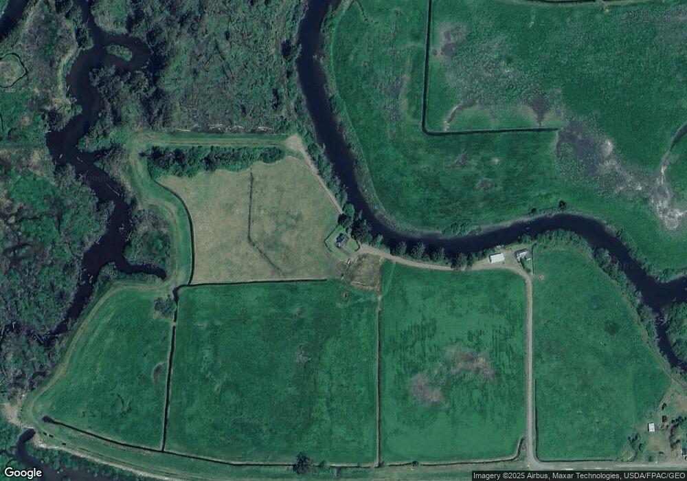
Map
Nearby Homes
- 0 Makinster Rd Unit 1902 24205450
- 1902 Makinster Rd
- 2375 Bayocean Rd NW
- 315 Birch Ave
- 1307 3rd St
- 412 Birch Ave
- 605 Cottonwood Ave
- 1209 6th St
- 1708 4th St
- 1703 4th St
- 1706 5th St
- 0 Ellen Ave
- 1412 9th St
- 1806 8th St
- 00201 Wilson River Hwy
- TL# 02100 Wilson River Hwy
- Parcel 1 Wilson River Hwy
- Parcel 2 Wilson River Hwy
- 500 etc. Wilson River Hwy
- 2418 1st St
- 460 Goodspeed Rd N
- 590 Goodspeed Rd N
- 355 Goodspeed Rd N
- 415 Makinster Rd
- 955 Makinster Rd
- 955 Goodspeed Rd N
- 475 Makinster Rd
- 980 Werner Rd N
- 495 Makinster Rd
- 485 Makinster Rd
- 925 Makinster Rd
- 0 V L Makinster 2201 Rd
- 905 Makinster Rd
- 525 Makinster Rd
- 0 Makinster Rd Unit TC-1889
- 0 Makinster Rd Unit 1902 24-656
- 0 Makinster Rd Unit 2201 23540473
- 0 Makinster Rd Unit 1902 23215974
- 0 Makinster Rd
- 940 Makinster Rd