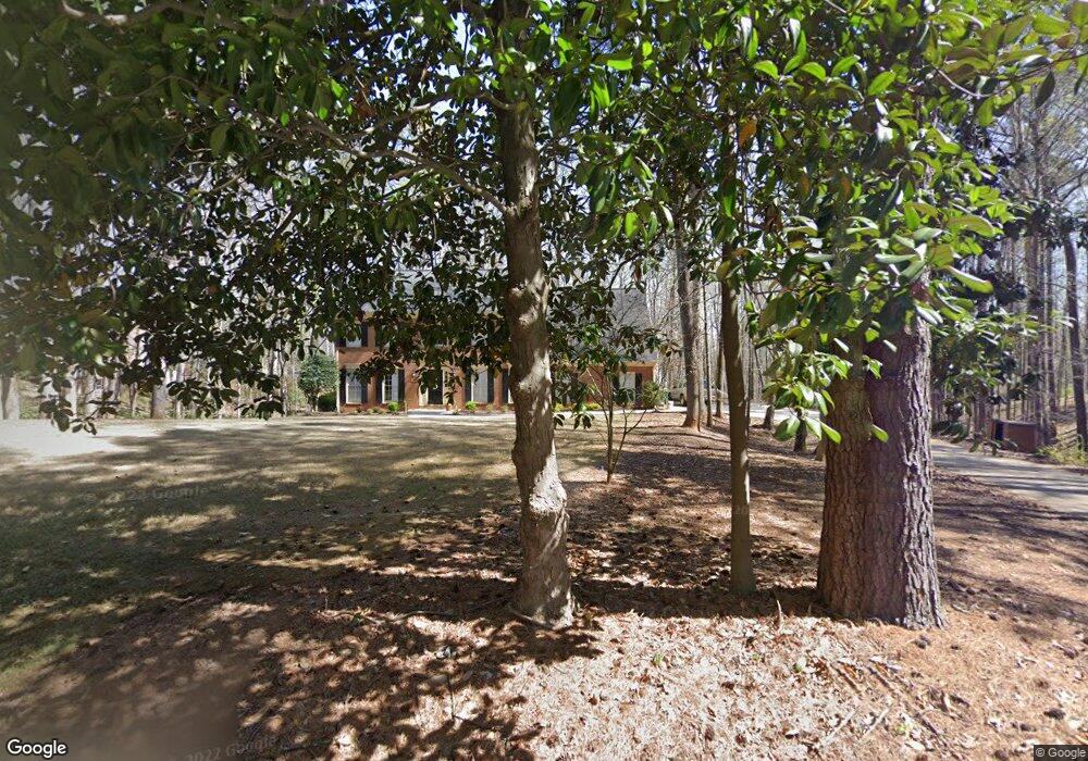
425 Link Rd Alpharetta, GA 30022
Estimated Value: $856,000 - $887,000
4
Beds
4
Baths
2,877
Sq Ft
$301/Sq Ft
Est. Value
About This Home
This home is located at 425 Link Rd, Alpharetta, GA 30022 and is currently estimated at $867,261, approximately $301 per square foot. 425 Link Rd is a home located in Fulton County with nearby schools including State Bridge Crossing Elementary School, Autrey Mill Middle School, and Johns Creek High School.
Ownership History
Date
Name
Owned For
Owner Type
Purchase Details
Closed on
Jun 24, 2019
Sold by
Rountree Angela Michelle
Bought by
Terjung Steven and Terjung Melissa
Current Estimated Value
Home Financials for this Owner
Home Financials are based on the most recent Mortgage that was taken out on this home.
Original Mortgage
$379,200
Outstanding Balance
$332,734
Interest Rate
4%
Mortgage Type
New Conventional
Estimated Equity
$534,527
Purchase Details
Closed on
Jun 19, 2017
Bought by
Rountree Mark Branan and Rountree Angela Michelle
Home Financials for this Owner
Home Financials are based on the most recent Mortgage that was taken out on this home.
Original Mortgage
$364,010
Interest Rate
4.02%
Mortgage Type
FHA
Purchase Details
Closed on
May 12, 2014
Sold by
Lacy Charles David
Bought by
Rollins Marlyn Chapman
Create a Home Valuation Report for This Property
The Home Valuation Report is an in-depth analysis detailing your home's value as well as a comparison with similar homes in the area
Purchase History
| Date | Buyer | Sale Price | Title Company |
|---|---|---|---|
| Terjung Steven | $474,000 | -- | |
| Rountree Mark Branan | $397,500 | -- | |
| Rollins Marlyn Chapman | -- | -- | |
| Lacy Charles David | -- | -- | |
| Link Road Llc | -- | -- | |
| Link Road Llc | -- | -- |
Source: Public Records
Mortgage History
| Date | Status | Borrower | Loan Amount |
|---|---|---|---|
| Open | Terjung Steven | $379,200 | |
| Previous Owner | Rountree Mark Branan | $364,010 |
Source: Public Records
Tax History
| Year | Tax Paid | Tax Assessment Tax Assessment Total Assessment is a certain percentage of the fair market value that is determined by local assessors to be the total taxable value of land and additions on the property. | Land | Improvement |
|---|---|---|---|---|
| 2025 | $4,993 | $338,080 | $157,840 | $180,240 |
| 2023 | $5,362 | $189,960 | $50,480 | $139,480 |
| 2022 | $4,808 | $201,680 | $62,200 | $139,480 |
| 2021 | $5,762 | $201,520 | $61,520 | $140,000 |
| 2020 | $5,653 | $187,680 | $49,360 | $138,320 |
| 2019 | $569 | $160,960 | $28,720 | $132,240 |
| 2018 | $4,658 | $157,200 | $28,040 | $129,160 |
| 2017 | $5,144 | $151,120 | $26,960 | $124,160 |
| 2016 | $5,069 | $151,120 | $26,960 | $124,160 |
| 2015 | $5,125 | $151,120 | $26,960 | $124,160 |
| 2014 | $4,672 | $151,120 | $26,960 | $124,160 |
Source: Public Records
Map
Nearby Homes
- 810 Buttercup Trace Unit 5
- 10060 Buice Rd
- 10130 Buice Rd
- 10185 Buice Rd
- 800 Apsley Way
- 9635 Red Bird Ln
- 170 Stone Pond Ln
- 9885 Nature Mill Rd
- 320 Falls Point Trail
- 10450 Belladrum
- 345 Bardolier
- 5140 Meridian Ln Unit 53
- 5185 Buice Rd
- 10296 Quadrant Ct Unit 76
- 735 Mill Cir
- 10560 Victory Gate Dr
- 10500 Wynbridge Dr
- 10675 Oxford Mill Cir
- 10685 Oxford Mill Cir
- 5195 Forest Run Trace
Your Personal Tour Guide
Ask me questions while you tour the home.