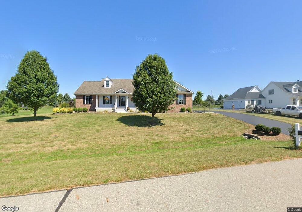
425 Long Trail Ostrander, OH 43061
Scioto NeighborhoodEstimated Value: $472,000 - $594,000
3
Beds
2
Baths
2,282
Sq Ft
$229/Sq Ft
Est. Value
About This Home
This home is located at 425 Long Trail, Ostrander, OH 43061 and is currently estimated at $522,683, approximately $229 per square foot. 425 Long Trail is a home located in Delaware County with nearby schools including Buckeye Valley High School.
Ownership History
Date
Name
Owned For
Owner Type
Purchase Details
Closed on
May 25, 2019
Sold by
Francesco Chirico & Louise L Chirico Tr
Bought by
Jack M Flury And Leslie B Flury Trust
Current Estimated Value
Home Financials for this Owner
Home Financials are based on the most recent Mortgage that was taken out on this home.
Original Mortgage
$250,000
Outstanding Balance
$219,354
Interest Rate
4.1%
Mortgage Type
New Conventional
Estimated Equity
$303,329
Purchase Details
Closed on
Dec 30, 2005
Sold by
Ahi Land Development Group Inc
Bought by
Chirico Francesco and Chirico Louise I
Create a Home Valuation Report for This Property
The Home Valuation Report is an in-depth analysis detailing your home's value as well as a comparison with similar homes in the area
Home Values in the Area
Average Home Value in this Area
Purchase History
| Date | Buyer | Sale Price | Title Company |
|---|---|---|---|
| Jack M Flury And Leslie B Flury Trust | $359,900 | None Available | |
| Chirico Francesco | $54,900 | Chicago Title |
Source: Public Records
Mortgage History
| Date | Status | Borrower | Loan Amount |
|---|---|---|---|
| Open | Jack M Flury And Leslie B Flury Trust | $250,000 |
Source: Public Records
Tax History
| Year | Tax Paid | Tax Assessment Tax Assessment Total Assessment is a certain percentage of the fair market value that is determined by local assessors to be the total taxable value of land and additions on the property. | Land | Improvement |
|---|---|---|---|---|
| 2024 | $4,258 | $136,050 | $31,360 | $104,690 |
| 2023 | $4,279 | $136,050 | $31,360 | $104,690 |
| 2022 | $3,708 | $106,890 | $22,680 | $84,210 |
| 2021 | $3,608 | $106,890 | $22,680 | $84,210 |
| 2020 | $3,628 | $106,890 | $22,680 | $84,210 |
| 2019 | $3,509 | $95,450 | $18,900 | $76,550 |
| 2018 | $3,573 | $95,450 | $18,900 | $76,550 |
| 2017 | $1,431 | $78,750 | $15,750 | $63,000 |
| 2016 | $2,713 | $78,750 | $15,750 | $63,000 |
| 2015 | $2,862 | $78,750 | $15,750 | $63,000 |
| 2014 | $2,691 | $78,750 | $15,750 | $63,000 |
| 2013 | $2,801 | $78,750 | $15,750 | $63,000 |
Source: Public Records
Map
Nearby Homes
- 231 Bluegrass Way
- 187 Long Trail
- 3480 Ostrander Rd
- 0 E High St Unit Tract 1 225034753
- 0 E High St Unit Tract 4 225034758
- 0 E High St Unit Tract 3 225034757
- 101 S Main St
- 535 Brayshaw Dr
- 0 Dean Rd Unit 225032132
- 0 Dean Rd Unit 225032131
- 0 Carr Rd Unit 225016840
- 10156 Marysville Rd
- 0 Ohio 257 Unit Lot 2
- 0 Ohio 257 Unit Lot 1
- 0 Burnt Pond Rd Unit Tract 2
- 0 Burnt Pond Rd Unit Tract 4
- 0 Burnt Pond Rd Unit 226007002
- 0 Burnt Pond Rd Unit Tract 5
- 5586 Taylor Rd
- 0 Delaware County Line Rd
- 437 Long Trail
- 305 Blue Ridge Ct
- 303 Blue Ridge Ct
- 428 Long Trail
- 307 Blue Ridge Ct
- 449 Long Trail
- 401 Long Trail
- 442 Long Trail
- 301 Blue Ridge Ct
- 309 Blue Ridge Ct
- 7637 Marysville Rd
- 456 Long Trail
- 414 Long Trail
- 461 Long Trail
- 100 Calumet Ct
- 180 White Barn Pkwy
- 313 Blue Ridge Ct
- 140 White Barn Pkwy
- 400 Long Trail
- 315 Blue Ridge Ct
Your Personal Tour Guide
Ask me questions while you tour the home.