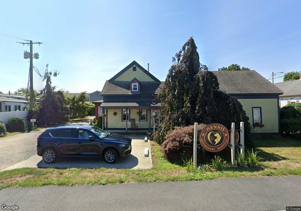
425 Main St Dennis Port, MA 02639
Dennis Port NeighborhoodEstimated Value: $626,934
--
Bed
--
Bath
2,594
Sq Ft
$242/Sq Ft
Est. Value
About This Home
This home is located at 425 Main St, Dennis Port, MA 02639 and is currently estimated at $626,934, approximately $241 per square foot. 425 Main St is a home located in Barnstable County with nearby schools including Dennis-Yarmouth Regional High School and St. Pius X. School.
Ownership History
Date
Name
Owned For
Owner Type
Purchase Details
Closed on
May 26, 2016
Sold by
Kelly James M
Bought by
Bisky Llc
Current Estimated Value
Home Financials for this Owner
Home Financials are based on the most recent Mortgage that was taken out on this home.
Original Mortgage
$235,000
Outstanding Balance
$187,095
Interest Rate
3.58%
Mortgage Type
Commercial
Estimated Equity
$439,839
Create a Home Valuation Report for This Property
The Home Valuation Report is an in-depth analysis detailing your home's value as well as a comparison with similar homes in the area
Home Values in the Area
Average Home Value in this Area
Purchase History
| Date | Buyer | Sale Price | Title Company |
|---|---|---|---|
| Bisky Llc | $299,999 | -- |
Source: Public Records
Mortgage History
| Date | Status | Borrower | Loan Amount |
|---|---|---|---|
| Open | Bisky Llc | $235,000 |
Source: Public Records
Tax History Compared to Growth
Tax History
| Year | Tax Paid | Tax Assessment Tax Assessment Total Assessment is a certain percentage of the fair market value that is determined by local assessors to be the total taxable value of land and additions on the property. | Land | Improvement |
|---|---|---|---|---|
| 2025 | $1,931 | $445,900 | $282,000 | $163,900 |
| 2024 | $1,886 | $429,600 | $271,800 | $157,800 |
| 2023 | $5,892 | $409,100 | $258,900 | $150,200 |
| 2022 | $6,658 | $385,600 | $244,200 | $141,400 |
| 2021 | $2,260 | $374,800 | $239,400 | $135,400 |
| 2020 | $2,249 | $368,700 | $236,600 | $132,100 |
| 2019 | $2,134 | $345,900 | $215,100 | $130,800 |
| 2018 | $2,178 | $343,500 | $215,100 | $128,400 |
| 2017 | $2,379 | $386,900 | $215,100 | $171,800 |
| 2016 | $2,574 | $394,200 | $193,600 | $200,600 |
| 2015 | $2,280 | $356,200 | $193,600 | $162,600 |
| 2014 | $2,262 | $356,200 | $193,600 | $162,600 |
Source: Public Records
Map
Nearby Homes
- 10 Candlewood Ln Unit 2-1
- 12 Candlewood Ln Unit 2-9
- 12 Cross St
- 72 Bassett Ln
- 268 Main St
- 9 Country Ln
- 166 Upper County Rd Unit 1-4
- 159 Center St Unit 22
- 221 Upper County Rd Unit 2A
- 221 Upper County Rd Unit 2A
- 22 Wixon Rd
- 47 Telegraph Rd Unit 1
- 26 Manning Rd
- 78 Upper County Rd Unit A&B
- 78 Upper County Rd
- 31 Easy St
- 102 Sea St
- 22 Ferncliff Rd
- 125 Main St Unit 3
- 4 Coffey Ln
- 425 Main (Route 28) St
- 425 Massachusetts 28
- 419 Main St
- 435 Main St
- 435 Main St
- 435 Main St Unit A
- 435 Main St Unit B
- 420 Main St
- 447 Main St
- 411 Main St
- 441 Main St
- 422 Massachusetts 28
- 432 Massachusetts 28
- 432 Main St
- 56 Center St
- 56 Center St Unit 1-2
- 56 Center St Unit 2-4
- 56 Center St Unit 2-8
- 56 Center St Unit 2-7
- 56 Center St Unit 2-6