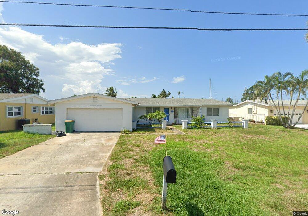
425 N Neptune Dr Satellite Beach, FL 32937
Estimated Value: $529,117 - $658,000
3
Beds
2
Baths
1,450
Sq Ft
$402/Sq Ft
Est. Value
About This Home
This home is located at 425 N Neptune Dr, Satellite Beach, FL 32937 and is currently estimated at $583,029, approximately $402 per square foot. 425 N Neptune Dr is a home located in Brevard County with nearby schools including Spessard L. Holland Elementary School, Satellite Senior High School, and DeLaura Middle School.
Ownership History
Date
Name
Owned For
Owner Type
Purchase Details
Closed on
Mar 25, 2010
Sold by
Burns Harla J and Ruth Earley Trust
Bought by
Cummings Brett E and Cummings Karen R
Current Estimated Value
Home Financials for this Owner
Home Financials are based on the most recent Mortgage that was taken out on this home.
Original Mortgage
$209,090
Outstanding Balance
$138,095
Interest Rate
4.91%
Estimated Equity
$444,934
Purchase Details
Closed on
May 9, 2002
Sold by
Earley Ruth A
Bought by
Earley Ruth A
Create a Home Valuation Report for This Property
The Home Valuation Report is an in-depth analysis detailing your home's value as well as a comparison with similar homes in the area
Home Values in the Area
Average Home Value in this Area
Purchase History
| Date | Buyer | Sale Price | Title Company |
|---|---|---|---|
| Cummings Brett E | $217,000 | State Title Partners Llp | |
| Earley Ruth A | -- | -- |
Source: Public Records
Mortgage History
| Date | Status | Borrower | Loan Amount |
|---|---|---|---|
| Open | Cummings Brett E | $209,090 |
Source: Public Records
Tax History Compared to Growth
Tax History
| Year | Tax Paid | Tax Assessment Tax Assessment Total Assessment is a certain percentage of the fair market value that is determined by local assessors to be the total taxable value of land and additions on the property. | Land | Improvement |
|---|---|---|---|---|
| 2025 | $2,684 | $217,410 | -- | -- |
| 2024 | $2,644 | $211,290 | -- | -- |
| 2023 | $2,644 | $205,140 | $0 | $0 |
| 2022 | $2,464 | $199,170 | $0 | $0 |
| 2021 | $2,551 | $193,370 | $0 | $0 |
| 2020 | $2,505 | $190,710 | $0 | $0 |
| 2019 | $2,454 | $186,430 | $0 | $0 |
| 2018 | $2,458 | $182,960 | $0 | $0 |
| 2017 | $2,479 | $179,200 | $0 | $0 |
| 2016 | $2,519 | $185,000 | $185,000 | $0 |
| 2015 | $2,587 | $175,000 | $175,000 | $0 |
| 2014 | $2,604 | $172,920 | $160,000 | $12,920 |
Source: Public Records
Map
Nearby Homes
- 429 S Neptune Dr
- 432 N Neptune Dr
- 437 N Neptune Dr
- 867 S Patrick Dr
- 11 Barbara Ct
- 935 & 937 S Patrick Dr
- 336 Jupiter Dr
- 335 Coral Reef Dr
- 27 Tortuga Trail
- 29 Tortuga Trail
- 31 Tortuga Trail
- 33 Tortuga Trail
- 35 Tortuga Trail
- 37 Tortuga Trail
- 53 Emerald Ct
- 313 Polaris Dr
- 345 S Point Ct
- Pearson End Unit Plan at Tortuga Cay
- Pearson Interior Unit Plan at Tortuga Cay
- 36 Sunset St
- 421 N Neptune Dr
- 429 N Neptune Dr
- 426 N Neptune Dr
- 417 N Neptune Dr
- 433 N Neptune Dr
- 434 N Neptune Dr
- 418 N Neptune Dr
- 413 N Neptune Dr
- 426 Atlantis Dr
- 422 Atlantis Dr
- 425 S Neptune Dr
- 430 Atlantis Dr
- 421 S Neptune Dr
- 438 N Neptune Dr
- 418 Atlantis Dr
- 434 Atlantis Dr
- 414 N Neptune Dr
- 417 S Neptune Dr
- 441 N Neptune Dr
- 409 N Neptune Dr