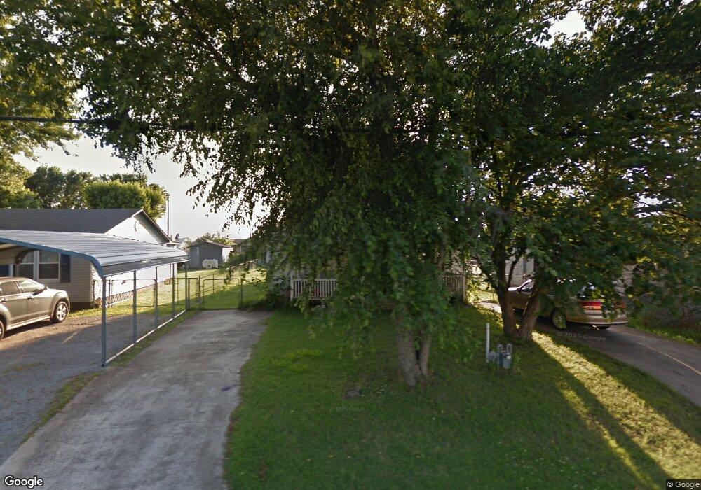
425 N Wyandotte Locust Grove, OK 74352
Estimated Value: $103,637 - $193,000
3
Beds
1
Bath
1,168
Sq Ft
$116/Sq Ft
Est. Value
About This Home
This home is located at 425 N Wyandotte, Locust Grove, OK 74352 and is currently estimated at $135,409, approximately $115 per square foot. 425 N Wyandotte is a home located in Mayes County with nearby schools including Locust Grove Early Lrning Center, Locust Grove Upper Elementary School, and Locust Grove Middle School.
Ownership History
Date
Name
Owned For
Owner Type
Purchase Details
Closed on
Nov 9, 2011
Sold by
Downing Donna Kay and Copeland Donna Kay
Bought by
Copeland Donna Kay and Downing Cheneista Ncole
Current Estimated Value
Purchase Details
Closed on
Dec 24, 2004
Sold by
Crabtree Ruth and Crabtree Pat
Bought by
Downing Donna Kay
Purchase Details
Closed on
Mar 28, 2003
Sold by
Judd Naomi and Max Judd
Bought by
Crabtree Patsy R
Purchase Details
Closed on
Apr 28, 1994
Sold by
Neighbors Dale
Bought by
Henderlong Robert C
Create a Home Valuation Report for This Property
The Home Valuation Report is an in-depth analysis detailing your home's value as well as a comparison with similar homes in the area
Home Values in the Area
Average Home Value in this Area
Purchase History
| Date | Buyer | Sale Price | Title Company |
|---|---|---|---|
| Copeland Donna Kay | -- | None Available | |
| Downing Donna Kay | -- | None Available | |
| Crabtree Patsy R | $35,000 | -- | |
| Henderlong Robert C | $27,000 | -- |
Source: Public Records
Tax History Compared to Growth
Tax History
| Year | Tax Paid | Tax Assessment Tax Assessment Total Assessment is a certain percentage of the fair market value that is determined by local assessors to be the total taxable value of land and additions on the property. | Land | Improvement |
|---|---|---|---|---|
| 2025 | $606 | $6,842 | $1,067 | $5,775 |
| 2023 | $606 | $6,206 | $975 | $5,231 |
| 2022 | $533 | $5,911 | $927 | $4,984 |
| 2021 | $519 | $5,629 | $910 | $4,719 |
| 2020 | $501 | $5,362 | $894 | $4,468 |
| 2019 | $478 | $5,106 | $870 | $4,236 |
| 2018 | $464 | $4,863 | $828 | $4,035 |
| 2017 | $442 | $4,631 | $789 | $3,842 |
| 2016 | $412 | $4,411 | $751 | $3,660 |
| 2015 | $405 | $4,202 | $716 | $3,486 |
| 2014 | $385 | $4,001 | $682 | $3,319 |
Source: Public Records
Map
Nearby Homes
- 000 Earl Smith Rd
- 1 W Ross St
- 212 N Mayes St
- 310 W Harrison
- 8604 S County Road 4468
- 0 Peach St
- 301 S Water St
- 57 Joe Koelsch Dr
- 00 Hill St
- 0 Orange St
- 207 Orange St
- 815 S Cherokee St
- 715 S Cherokee St
- 608 S Cherokee St
- 10171 U S Highway 412
- 149 SE 4404 Loop
- 6164 E 578
- 173 Dove Rd
- 6959 E 561 Rd
- 51 Covey Rd
- 415 N Wyandotte
- 525 N Wyandotte
- 0 Sargear St Unit 2218971
- 405 N Wyandotte St
- 406 Earl Smith Rd
- 404 Earl Smith Rd
- 402 Earl Smith Rd
- 408 Earl Smith Rd
- 327 W Sargear St
- 409 Sargear Ave
- 535 N Wyandotte
- 515 N Wyandotte
- 339 N Wyandotte
- 545 N Wyandotte
- 504 Earl Smith Rd
- 335 N Wyandotte
- 340 N Wyandotte
- 553 N Wyandotte
- 306 Earl Smith Rd
- 330 N Wyandotte