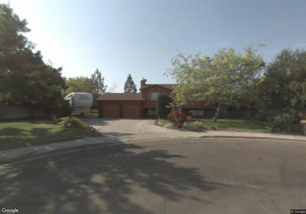
425 Parkway Cir Twin Falls, ID 83301
Estimated Value: $358,000 - $392,000
4
Beds
3
Baths
1,788
Sq Ft
$210/Sq Ft
Est. Value
About This Home
This home is located at 425 Parkway Cir, Twin Falls, ID 83301 and is currently estimated at $376,044, approximately $210 per square foot. 425 Parkway Cir is a home located in Twin Falls County with nearby schools including I.B. Perrine Elementary School, Robert Stuart Junior High School, and Canyon Ridge High School.
Ownership History
Date
Name
Owned For
Owner Type
Purchase Details
Closed on
Jul 17, 2018
Sold by
Magaw John H and Magaw Deanna J
Bought by
Magaw John H and Magaw Deanna J
Current Estimated Value
Purchase Details
Closed on
Mar 10, 2014
Sold by
Magaw John H and Crist Deanna J
Bought by
Magaw John H and Magaw Deanna J
Home Financials for this Owner
Home Financials are based on the most recent Mortgage that was taken out on this home.
Original Mortgage
$50,000
Interest Rate
4.29%
Mortgage Type
Credit Line Revolving
Create a Home Valuation Report for This Property
The Home Valuation Report is an in-depth analysis detailing your home's value as well as a comparison with similar homes in the area
Home Values in the Area
Average Home Value in this Area
Purchase History
| Date | Buyer | Sale Price | Title Company |
|---|---|---|---|
| Magaw John H | -- | None Available | |
| Magaw John H | -- | Accommodation |
Source: Public Records
Mortgage History
| Date | Status | Borrower | Loan Amount |
|---|---|---|---|
| Closed | Magaw John H | $50,000 |
Source: Public Records
Tax History Compared to Growth
Tax History
| Year | Tax Paid | Tax Assessment Tax Assessment Total Assessment is a certain percentage of the fair market value that is determined by local assessors to be the total taxable value of land and additions on the property. | Land | Improvement |
|---|---|---|---|---|
| 2024 | $1,880 | $324,012 | $90,605 | $233,407 |
| 2023 | $1,808 | $343,738 | $90,605 | $253,133 |
| 2022 | $2,292 | $325,125 | $69,201 | $255,924 |
| 2021 | $1,881 | $249,935 | $55,059 | $194,876 |
| 2020 | $1,583 | $203,768 | $51,328 | $152,440 |
| 2019 | $1,668 | $186,758 | $43,475 | $143,283 |
| 2018 | $1,606 | $170,061 | $35,713 | $134,348 |
| 2017 | $1,412 | $150,688 | $35,713 | $114,975 |
| 2016 | $1,348 | $134,487 | $0 | $0 |
| 2015 | $1,311 | $134,487 | $35,713 | $98,774 |
| 2012 | -- | $120,802 | $0 | $0 |
Source: Public Records
Map
Nearby Homes
- 1039 Blake St N
- 1148 Blake St N
- 329 Falls Ave W
- 551 Park Meadows Cir
- 1108 Twin Parks Dr
- 874 Eastwind Dr
- 1230 Blake St N
- 905 Birchton Loop
- 941 Birchton Loop
- 957 Birchton Loop
- 167 Robbins Ave
- 281 Caswell Ave W Unit A-10
- 1434 Tara St
- 145 Robbins Ave
- 145, 147, 149 Robbins St
- 147 Robbins Ave
- 916 Kenbrook Loop
- 946 Kenbrook Loop
- 149 Robbins Ave
- 850 Broadmoor Ave
- 420 Parkway Cir
- 454 Ridgeway Dr
- 466 Ridgeway Dr
- 431 Parkway Cir
- 438 Ridgeway Dr
- 478 Ridgeway Dr
- 1083 Sparks St N
- 1089 Sparks St N
- 430 Parkway Cir
- 440 Parkway Cir
- 443 Parkway Cir
- 426 Ridgeway Dr
- 1095 Sparks St N
- 488 Ridgeway Dr
- 455 Ridgeway Dr
- 410 Ridgeway Dr
- 1081 Sparks St N
- 465 Ridgeway Dr
- 1018 Park Meadows Dr
- 443 Ridgeway Dr