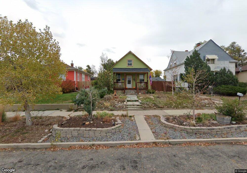
425 S Kimball St Casper, WY 82601
Central Casper NeighborhoodEstimated Value: $178,464 - $245,000
2
Beds
1
Bath
704
Sq Ft
$306/Sq Ft
Est. Value
About This Home
This home is located at 425 S Kimball St, Casper, WY 82601 and is currently estimated at $215,488, approximately $306 per square foot. 425 S Kimball St is a home located in Natrona County with nearby schools including St. Anthony Tri-Parish Catholic School.
Ownership History
Date
Name
Owned For
Owner Type
Purchase Details
Closed on
Jul 17, 2020
Sold by
Gillihan Danial E
Bought by
Garner Rylie
Current Estimated Value
Home Financials for this Owner
Home Financials are based on the most recent Mortgage that was taken out on this home.
Original Mortgage
$174,775
Outstanding Balance
$154,979
Interest Rate
3.1%
Mortgage Type
FHA
Estimated Equity
$60,509
Purchase Details
Closed on
Aug 9, 2017
Sold by
Gillihan Danial E and Gillihan Deborah A
Bought by
Gillihan Danial E
Create a Home Valuation Report for This Property
The Home Valuation Report is an in-depth analysis detailing your home's value as well as a comparison with similar homes in the area
Home Values in the Area
Average Home Value in this Area
Purchase History
| Date | Buyer | Sale Price | Title Company |
|---|---|---|---|
| Garner Rylie | -- | Rocky Mountain Title | |
| Gillihan Danial E | -- | Summit Title |
Source: Public Records
Mortgage History
| Date | Status | Borrower | Loan Amount |
|---|---|---|---|
| Open | Garner Rylie | $174,775 |
Source: Public Records
Tax History Compared to Growth
Tax History
| Year | Tax Paid | Tax Assessment Tax Assessment Total Assessment is a certain percentage of the fair market value that is determined by local assessors to be the total taxable value of land and additions on the property. | Land | Improvement |
|---|---|---|---|---|
| 2025 | $621 | $8,641 | $2,560 | $6,081 |
| 2024 | $849 | $11,816 | $4,020 | $7,796 |
| 2023 | $818 | $11,222 | $3,726 | $7,496 |
| 2022 | $786 | $10,788 | $3,144 | $7,644 |
| 2021 | $701 | $9,623 | $3,248 | $6,375 |
| 2020 | $724 | $9,928 | $5,183 | $4,745 |
| 2019 | $677 | $9,288 | $4,607 | $4,681 |
| 2018 | $557 | $7,635 | $1,952 | $5,683 |
| 2017 | $607 | $8,330 | $2,663 | $5,667 |
| 2015 | $616 | $8,451 | $2,980 | $5,471 |
| 2014 | $591 | $8,104 | $2,980 | $5,124 |
Source: Public Records
Map
Nearby Homes
- 517 Kirk Ave
- 718 E 5th St
- 46000 U S Highway 20
- 623 S Wolcott St
- 830 S Durbin St
- 634 S Mckinley St
- 340 S David St
- 336 S David St
- 501 S Jackson St
- 830 E A St
- 1117 S Lincoln St
- 909 S Mckinley St
- 134 N Jackson St
- 1047 S Mckinley St
- 1011 E B St
- 1302 E 7th St
- 1339 E 6th St
- 1244 S Durbin St
- 1140 S Center St
- 637 E 13th St
- 425 S Kimball St Unit E. 5th
- 425 S Kimball St Unit E 3rd St
- 427 S Kimball St
- 415 S Kimball St
- 433 S Kimball St
- 405 S Kimball St
- 520 E 5th St
- 520 E 5th St Unit Park
- 443 S Kimball St
- 424 S Park St
- 424 S Park St Unit 5th
- 400 S Kimball St Unit (upstairs in back)
- 400 S Kimball St
- 432 S Park St
- 442 S Park St Unit 5th Street
- 436-436 S Kimball St Unit 430 S Kimball
- 436 S Kimball St
- 426 S Kimball St
- 416 S Kimball St
- 404 S Park St