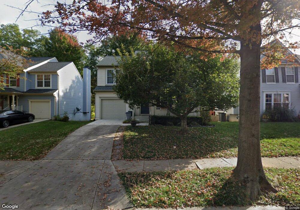
425 Samanthas Ct Reisterstown, MD 21136
Estimated Value: $458,389 - $554,000
--
Bed
3
Baths
2,084
Sq Ft
$236/Sq Ft
Est. Value
About This Home
This home is located at 425 Samanthas Ct, Reisterstown, MD 21136 and is currently estimated at $491,597, approximately $235 per square foot. 425 Samanthas Ct is a home located in Baltimore County with nearby schools including Glyndon Elementary School, Franklin Middle, and Franklin High.
Ownership History
Date
Name
Owned For
Owner Type
Purchase Details
Closed on
Aug 12, 2025
Sold by
Ring David Paul and Ring Janet Renee
Bought by
Ring David Paul and Ring Janet Renee
Current Estimated Value
Purchase Details
Closed on
Jan 10, 2000
Sold by
Poetker Russell David
Bought by
Ring David P and Ring Janet R
Purchase Details
Closed on
Aug 12, 1997
Sold by
Mountbay Inc
Bought by
Poetker Russell David and Poetker Heather Michelle
Purchase Details
Closed on
May 15, 1997
Sold by
Sargent Development Corp
Bought by
Mountbay Inc
Create a Home Valuation Report for This Property
The Home Valuation Report is an in-depth analysis detailing your home's value as well as a comparison with similar homes in the area
Home Values in the Area
Average Home Value in this Area
Purchase History
| Date | Buyer | Sale Price | Title Company |
|---|---|---|---|
| Ring David Paul | -- | None Listed On Document | |
| Ring David P | $187,000 | -- | |
| Poetker Russell David | $191,188 | -- | |
| Mountbay Inc | $110,800 | -- |
Source: Public Records
Tax History Compared to Growth
Tax History
| Year | Tax Paid | Tax Assessment Tax Assessment Total Assessment is a certain percentage of the fair market value that is determined by local assessors to be the total taxable value of land and additions on the property. | Land | Improvement |
|---|---|---|---|---|
| 2025 | $5,208 | $381,600 | -- | -- |
| 2024 | $5,208 | $352,100 | $86,900 | $265,200 |
| 2023 | $2,586 | $347,800 | $0 | $0 |
| 2022 | $5,026 | $343,500 | $0 | $0 |
| 2021 | $4,961 | $339,200 | $86,900 | $252,300 |
| 2020 | $4,961 | $336,333 | $0 | $0 |
| 2019 | $4,868 | $333,467 | $0 | $0 |
| 2018 | $4,677 | $330,600 | $86,900 | $243,700 |
| 2017 | $4,468 | $316,267 | $0 | $0 |
| 2016 | $3,976 | $301,933 | $0 | $0 |
| 2015 | $3,976 | $287,600 | $0 | $0 |
| 2014 | $3,976 | $287,600 | $0 | $0 |
Source: Public Records
Map
Nearby Homes
- 27 Farm Gate Way
- 7 Butler Rd
- 2 Bowers Ln
- 1 Forest Glen Ct
- 209 Bentley Hill Dr
- 4 Wolf Ave
- 341 Central Ave
- 13943 B Old Hanover Rd
- 13943 D Old Hanover Rd
- 13943 C Old Hanover Rd
- 65A Bond Ave
- 15 Gloucester Ct
- 225 Northway Rd
- 409 Fox View Ct
- 19 Bond Ave
- 246 Pidco Rd
- 308 Sacred Heart Ln
- 10 Pennyborough Ct
- 28 Goldsborough Way
- 12 Greensborough Rd
- 427 Samanthas Ct
- 423 Samanthas Ct
- 421 Samanthas Ct
- 419 Samanthas Ct
- 426 Samanthas Ct
- 418 Samanthas Ct
- 416 Samanthas Ct
- 415 Samanthas Ct
- 420 Samanthas Ct
- 422 Samanthas Ct
- 424 Samanthas Ct
- 414 Samanthas Ct
- 413 Samanthas Ct
- 407 E Chatsworth Ave
- 412 Samanthas Ct
- 409 E Chatsworth Ave
- 405 E Chatsworth Ave
- 413 Dyer Ave
- 415 Dyer Ave
- 411 Samanthas Ct