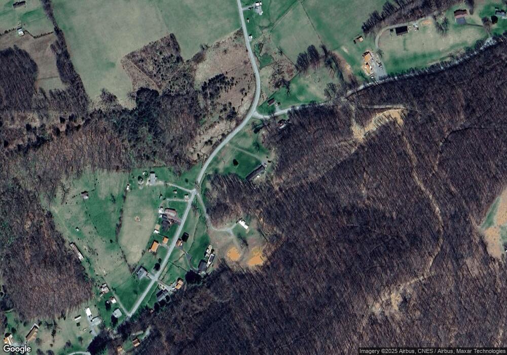
425 Shannons Branch Rd Cedar Bluff, VA 24609
Estimated Value: $306,861 - $360,000
3
Beds
2
Baths
2,946
Sq Ft
$113/Sq Ft
Est. Value
About This Home
This home is located at 425 Shannons Branch Rd, Cedar Bluff, VA 24609 and is currently estimated at $333,431, approximately $113 per square foot. 425 Shannons Branch Rd is a home located in Tazewell County.
Ownership History
Date
Name
Owned For
Owner Type
Purchase Details
Closed on
Apr 25, 2022
Sold by
Earls Bryan K
Bought by
Charles Candace D and Charles Rodney Chad
Current Estimated Value
Home Financials for this Owner
Home Financials are based on the most recent Mortgage that was taken out on this home.
Original Mortgage
$260,200
Outstanding Balance
$244,110
Interest Rate
4.75%
Mortgage Type
FHA
Estimated Equity
$89,321
Purchase Details
Closed on
Nov 8, 2021
Sold by
Hankins James Roger and Hankins Gwen B
Bought by
Earls Bryan K
Home Financials for this Owner
Home Financials are based on the most recent Mortgage that was taken out on this home.
Original Mortgage
$225,000
Interest Rate
2.88%
Mortgage Type
Commercial
Purchase Details
Closed on
Dec 31, 2015
Sold by
Hankins James Roger and Hankins Jonathan Roger
Bought by
Hankins James Roger and Hankins Gwen B
Create a Home Valuation Report for This Property
The Home Valuation Report is an in-depth analysis detailing your home's value as well as a comparison with similar homes in the area
Purchase History
| Date | Buyer | Sale Price | Title Company |
|---|---|---|---|
| Charles Candace D | $265,000 | Harman Frederick W | |
| Earls Bryan K | $325,000 | None Available | |
| Hankins James Roger | -- | None Available |
Source: Public Records
Mortgage History
| Date | Status | Borrower | Loan Amount |
|---|---|---|---|
| Open | Charles Candace D | $260,200 | |
| Previous Owner | Earls Bryan K | $225,000 |
Source: Public Records
Tax History
| Year | Tax Paid | Tax Assessment Tax Assessment Total Assessment is a certain percentage of the fair market value that is determined by local assessors to be the total taxable value of land and additions on the property. | Land | Improvement |
|---|---|---|---|---|
| 2025 | $462 | $79,700 | $79,700 | $0 |
| 2024 | $462 | $79,700 | $79,700 | $0 |
| 2023 | $247 | $42,500 | $42,500 | $0 |
| 2022 | $247 | $42,500 | $42,500 | $0 |
| 2021 | $1,622 | $279,600 | $69,200 | $210,400 |
| 2020 | $1,622 | $279,600 | $69,200 | $210,400 |
| 2019 | $1,622 | $279,600 | $69,200 | $210,400 |
| 2018 | -- | $279,600 | $69,200 | $210,400 |
Source: Public Records
Map
Nearby Homes
- TBD Cliff Rd
- 149 Cochran Hollow Rd
- 18537 Governor G C Peery Hwy
- 18466 Governor George C Peery Hwy
- 386 Keen Rd
- TBD Lickbranch Rd
- 5910 Dry Fork Rd
- TBD Dry Fork Rd
- 160 Riverbend Ln
- 624&638 Baptist Valley Rd
- 220 220 Easy St
- 6426 Baptist Valley Rd
- 4330 Ravens Nest Branch Rd
- 2906 Pounding Mill Branch Rd
- 955 Wakefield Dr
- TBD Green Acres Rd
- TBD Bandy Rd Whitaker Ridge Area
- 7893 Baptist Valley Rd
- 1532 Indian Creek Rd
- TBD Crab Orchard Rd
- 140 Davis Rd
- 131 Davis Rd
- 508 Shannons Branch Rd
- 536 Shannons Branch Rd
- 500 Shannons Branch Rd
- 561 Shannons Branch Rd
- 608 Shannons Branch Rd
- 611 Shannons Branch Rd
- 251 Davis Rd
- 259 Shannons Branch Rd
- 660 Shannons Branch Rd
- 693 Shannons Branch Rd
- 271 Davis Rd
- 205 Shannons Branch Rd
- 706 Shannons Branch Rd
- 704 Shannons Branch Rd
- 331 Davis Rd
- 184 Shannons Branch Rd
- 789 Shannons Branch Rd
- 401 Davis Rd
Your Personal Tour Guide
Ask me questions while you tour the home.
