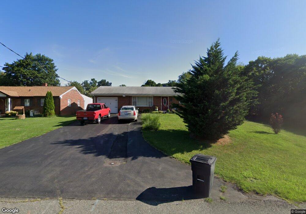
425 Sterling St Staunton, VA 24401
Estimated Value: $259,083 - $291,000
3
Beds
1
Bath
1,204
Sq Ft
$227/Sq Ft
Est. Value
About This Home
This home is located at 425 Sterling St, Staunton, VA 24401 and is currently estimated at $273,271, approximately $226 per square foot. 425 Sterling St is a home located in Staunton City with nearby schools including Bessie Weller Elementary School, Shelburne Middle School, and Staunton High School.
Ownership History
Date
Name
Owned For
Owner Type
Purchase Details
Closed on
Mar 11, 2016
Sold by
Samuel I White P C
Bought by
Robert Helen Gertrude
Current Estimated Value
Purchase Details
Closed on
Nov 16, 2005
Sold by
Knoll Thomas R and Shull Everett H
Bought by
Hanson Karen A
Home Financials for this Owner
Home Financials are based on the most recent Mortgage that was taken out on this home.
Original Mortgage
$152,000
Interest Rate
5.87%
Mortgage Type
New Conventional
Create a Home Valuation Report for This Property
The Home Valuation Report is an in-depth analysis detailing your home's value as well as a comparison with similar homes in the area
Home Values in the Area
Average Home Value in this Area
Purchase History
| Date | Buyer | Sale Price | Title Company |
|---|---|---|---|
| Robert Helen Gertrude | $70,000 | None Available | |
| Hanson Karen A | -- | None Available |
Source: Public Records
Mortgage History
| Date | Status | Borrower | Loan Amount |
|---|---|---|---|
| Previous Owner | Hanson Karen A | $152,000 |
Source: Public Records
Tax History Compared to Growth
Tax History
| Year | Tax Paid | Tax Assessment Tax Assessment Total Assessment is a certain percentage of the fair market value that is determined by local assessors to be the total taxable value of land and additions on the property. | Land | Improvement |
|---|---|---|---|---|
| 2025 | $2,134 | $234,540 | $65,440 | $169,100 |
| 2024 | $1,830 | $205,590 | $57,190 | $148,400 |
| 2023 | $1,830 | $205,590 | $57,190 | $148,400 |
| 2022 | $1,443 | $156,860 | $42,160 | $114,700 |
| 2021 | $1,443 | $156,860 | $42,160 | $114,700 |
| 2020 | $1,319 | $138,860 | $42,160 | $96,700 |
| 2019 | $1,319 | $138,860 | $42,160 | $96,700 |
| 2018 | $1,207 | $124,460 | $42,160 | $82,300 |
| 2017 | $1,207 | $124,460 | $42,160 | $82,300 |
| 2016 | $1,158 | $121,860 | $42,160 | $79,700 |
| 2015 | $1,158 | $121,860 | $42,160 | $79,700 |
| 2014 | $1,143 | $120,360 | $42,160 | $78,200 |
Source: Public Records
Map
Nearby Homes
- 11 River Oak Dr
- 7 Oak View Dr
- 5 River Oak Dr
- 206 Red Oaks Dr
- Neuville Plan at Red Oaks
- Glendale Plan at Red Oaks
- 118 Red Oaks Dr
- Lot G Barterbrook Rd
- Lot J Barterbrook Rd
- Lot F Barterbrook Rd
- Lot E Barterbrook Rd
- Lot R Barterbrook Rd
- 20 River Oak Dr
- 18 River Oak Dr
- 19 River Oak Dr
- 17 River Oak Dr
- 15 River Oak Dr
- 9 River Oak Dr
- 396 Linden Dr
- 10 Frontier Ridge Ct
- 427 Sterling St
- 423 Sterling St
- 421 Sterling St
- 419 Sterling St
- 344 Mary Gray Ln
- 348 Mary Gray Ln
- 430 Sterling St
- 428 Sterling St
- 350 Mary Gray Ln
- 340 Mary Gray Ln
- 342 Mary Gray Ln
- 432 Sterling St
- 426 Sterling St
- 417 Sterling St
- 352 Mary Gray Ln
- 424 Sterling St
- 354 Mary Gray Ln
- 338 Mary Gray Ln
- 434 Sterling St
- 415 Sterling St