425 Sullivan Ave South Windsor, CT 06074
Estimated Value: $3,545,935
3
Beds
1
Bath
97,768
Sq Ft
$36/Sq Ft
Est. Value
About This Home
This home is located at 425 Sullivan Ave, South Windsor, CT 06074 and is currently estimated at $3,545,935, approximately $36 per square foot. 425 Sullivan Ave is a home located in Hartford County with nearby schools including Timothy Edwards School and South Windsor High School.
Ownership History
Date
Name
Owned For
Owner Type
Purchase Details
Closed on
May 13, 2010
Sold by
425 Sullivan Avenue Ll
Bought by
Condor Prop Llc
Current Estimated Value
Home Financials for this Owner
Home Financials are based on the most recent Mortgage that was taken out on this home.
Original Mortgage
$1,600,000
Outstanding Balance
$521,240
Interest Rate
5.1%
Mortgage Type
Commercial
Estimated Equity
$3,024,695
Create a Home Valuation Report for This Property
The Home Valuation Report is an in-depth analysis detailing your home's value as well as a comparison with similar homes in the area
Home Values in the Area
Average Home Value in this Area
Purchase History
| Date | Buyer | Sale Price | Title Company |
|---|---|---|---|
| Condor Prop Llc | $2,000,000 | -- |
Source: Public Records
Mortgage History
| Date | Status | Borrower | Loan Amount |
|---|---|---|---|
| Open | Condor Prop Llc | $1,600,000 | |
| Previous Owner | Condor Prop Llc | $2,780,000 | |
| Previous Owner | Condor Prop Llc | $1,500,000 |
Source: Public Records
Tax History Compared to Growth
Tax History
| Year | Tax Paid | Tax Assessment Tax Assessment Total Assessment is a certain percentage of the fair market value that is determined by local assessors to be the total taxable value of land and additions on the property. | Land | Improvement |
|---|---|---|---|---|
| 2025 | $87,163 | $2,447,700 | $341,200 | $2,106,500 |
| 2024 | $84,348 | $2,447,700 | $341,200 | $2,106,500 |
| 2023 | $81,117 | $2,447,700 | $341,200 | $2,106,500 |
| 2022 | $87,058 | $2,245,500 | $313,200 | $1,932,300 |
| 2021 | $85,883 | $2,268,430 | $336,130 | $1,932,300 |
| 2020 | $85,928 | $2,268,430 | $336,130 | $1,932,300 |
| 2019 | $87,335 | $2,268,430 | $336,130 | $1,932,300 |
| 2018 | $85,452 | $2,268,430 | $336,130 | $1,932,300 |
| 2017 | $92,872 | $2,438,870 | $341,270 | $2,097,600 |
| 2016 | $91,067 | $2,438,870 | $341,270 | $2,097,600 |
| 2015 | $89,116 | $2,438,870 | $341,270 | $2,097,600 |
| 2014 | $86,604 | $2,438,870 | $341,270 | $2,097,600 |
Source: Public Records
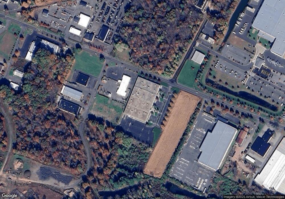
Map
Nearby Homes
- 668 Sullivan Ave
- 35 Dower Rd
- 74 Alison Dr
- 1638 Main St
- 43 W River Rd
- 29 W River Rd
- 26 Cathy (Lot 13) Ln
- 24 Cathy (Lot 14) Ln
- 22 Cathy (Lot 15) Ln
- 23 Cathy (Lot 21) Ln
- 20 Cathy (Lot 16) Ln
- 21 Ln
- 18 Cathy (Lot 17) Ln
- 34 W River Rd
- 19 Cathy (Lot 19) Ln
- 27 W River Rd
- 17 Cathy (Lot 18) Ln
- 31 Wendy Dr
- 50 High St
- 372 Scantic Rd Unit 8
- 352 Sullivan Ave
- 305 Sullivan Ave
- 46 Kennedy Rd Unit 3
- 46 Kennedy Rd Unit 2
- 46 Kennedy Rd Unit 1
- 46 Kennedy Rd Unit 4
- 280 Sullivan Ave
- 561 Sullivan Ave
- 488 Sullivan Ave
- 472 Sullivan Ave
- 251 Sullivan Ave
- 524 Sullivan Ave
- 233 Sullivan Ave
- 200 Sullivan Ave
- 177 Rye St
- 500 Sullivan Ave
- 195 Commerce Way
- 211 Sullivan Ave
- 570 Sullivan Ave
- 175 Sullivan Ave