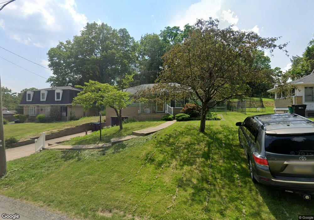
425 Thompson Run Rd McKnight, PA 15237
Ross Township NeighborhoodEstimated Value: $255,905 - $334,000
2
Beds
2
Baths
1,053
Sq Ft
$272/Sq Ft
Est. Value
About This Home
This home is located at 425 Thompson Run Rd, McKnight, PA 15237 and is currently estimated at $286,476, approximately $272 per square foot. 425 Thompson Run Rd is a home located in Allegheny County with nearby schools including Ross Elementary School, North Hills Middle School, and North Hills Senior High School.
Ownership History
Date
Name
Owned For
Owner Type
Purchase Details
Closed on
Jul 23, 2019
Sold by
The Estate Of Maureen Rita Reuss
Bought by
Guardino Donald D and Curnow Jeannette J A
Current Estimated Value
Home Financials for this Owner
Home Financials are based on the most recent Mortgage that was taken out on this home.
Original Mortgage
$164,000
Outstanding Balance
$143,679
Interest Rate
3.82%
Mortgage Type
New Conventional
Estimated Equity
$142,797
Purchase Details
Closed on
Dec 7, 2012
Sold by
Graham Patricia A
Bought by
Reuss Maureen R
Home Financials for this Owner
Home Financials are based on the most recent Mortgage that was taken out on this home.
Original Mortgage
$120,800
Interest Rate
3.46%
Mortgage Type
New Conventional
Purchase Details
Closed on
Feb 12, 1985
Bought by
Graham Patricia A
Create a Home Valuation Report for This Property
The Home Valuation Report is an in-depth analysis detailing your home's value as well as a comparison with similar homes in the area
Home Values in the Area
Average Home Value in this Area
Purchase History
| Date | Buyer | Sale Price | Title Company |
|---|---|---|---|
| Guardino Donald D | $205,000 | Elite Closings Llc | |
| Reuss Maureen R | $151,000 | -- | |
| Graham Patricia A | $65,500 | -- |
Source: Public Records
Mortgage History
| Date | Status | Borrower | Loan Amount |
|---|---|---|---|
| Open | Guardino Donald D | $164,000 | |
| Previous Owner | Reuss Maureen R | $120,800 |
Source: Public Records
Tax History Compared to Growth
Tax History
| Year | Tax Paid | Tax Assessment Tax Assessment Total Assessment is a certain percentage of the fair market value that is determined by local assessors to be the total taxable value of land and additions on the property. | Land | Improvement |
|---|---|---|---|---|
| 2025 | $2,897 | $106,800 | $55,200 | $51,600 |
| 2024 | $2,897 | $106,800 | $55,200 | $51,600 |
| 2023 | $2,897 | $106,800 | $55,200 | $51,600 |
| 2022 | $2,827 | $106,800 | $55,200 | $51,600 |
| 2021 | $505 | $106,800 | $55,200 | $51,600 |
| 2020 | $2,785 | $106,800 | $55,200 | $51,600 |
| 2019 | $2,743 | $106,800 | $55,200 | $51,600 |
| 2018 | $1,601 | $106,800 | $55,200 | $51,600 |
| 2017 | $2,695 | $106,800 | $55,200 | $51,600 |
| 2016 | $505 | $106,800 | $55,200 | $51,600 |
| 2015 | $505 | $106,800 | $55,200 | $51,600 |
| 2014 | $2,637 | $106,800 | $55,200 | $51,600 |
Source: Public Records
Map
Nearby Homes
- 101 Sunset Dr
- 447 Englewood Dr
- 105 Forliview Rd
- 356 Goldsmith Rd
- 102 Forliview Rd
- 103 Hodil Rd
- 308 Sandy Dr
- 208 Andrew Dr
- 155 Cherrington Dr
- 140 Hodil Rd
- 113 Mcginley Dr
- 104 Sunnyhill Dr
- 620 Northaven Cir
- 133 Sunset Ln
- 121 Richmond Cir
- 2609 Autumnwood Dr
- 530 Glenhaven Dr
- 105 Sloan Ct
- 418 Hunter Dr
- 509 Woodland Rd
