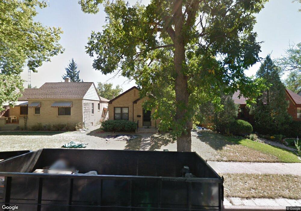
425 W 1st Ave Cheyenne, WY 82001
Moore Haven Heights NeighborhoodEstimated Value: $393,617 - $412,000
--
Bed
--
Bath
1,117
Sq Ft
$360/Sq Ft
Est. Value
About This Home
This home is located at 425 W 1st Ave, Cheyenne, WY 82001 and is currently estimated at $402,654, approximately $360 per square foot. 425 W 1st Ave is a home located in Laramie County with nearby schools including Deming Elementary School, Miller Elementary School, and McCormick Junior High School.
Ownership History
Date
Name
Owned For
Owner Type
Purchase Details
Closed on
Apr 17, 2008
Sold by
Walsh Thomas F and Walsh Laurie
Bought by
Bacue Patrick J
Current Estimated Value
Home Financials for this Owner
Home Financials are based on the most recent Mortgage that was taken out on this home.
Original Mortgage
$123,130
Outstanding Balance
$78,120
Interest Rate
6%
Mortgage Type
Purchase Money Mortgage
Estimated Equity
$324,534
Create a Home Valuation Report for This Property
The Home Valuation Report is an in-depth analysis detailing your home's value as well as a comparison with similar homes in the area
Home Values in the Area
Average Home Value in this Area
Purchase History
| Date | Buyer | Sale Price | Title Company |
|---|---|---|---|
| Bacue Patrick J | -- | None Available |
Source: Public Records
Mortgage History
| Date | Status | Borrower | Loan Amount |
|---|---|---|---|
| Open | Bacue Patrick J | $123,130 |
Source: Public Records
Tax History Compared to Growth
Tax History
| Year | Tax Paid | Tax Assessment Tax Assessment Total Assessment is a certain percentage of the fair market value that is determined by local assessors to be the total taxable value of land and additions on the property. | Land | Improvement |
|---|---|---|---|---|
| 2025 | $2,257 | $24,117 | $3,084 | $21,033 |
| 2024 | $2,257 | $31,915 | $4,112 | $27,803 |
| 2023 | $2,410 | $34,077 | $4,112 | $29,965 |
| 2022 | $2,048 | $28,370 | $4,112 | $24,258 |
| 2021 | $1,748 | $24,163 | $4,112 | $20,051 |
| 2020 | $1,843 | $25,547 | $4,112 | $21,435 |
| 2019 | $1,761 | $24,384 | $4,112 | $20,272 |
| 2018 | $1,561 | $21,820 | $3,331 | $18,489 |
| 2017 | $1,530 | $21,202 | $3,331 | $17,871 |
| 2016 | $1,441 | $19,960 | $3,028 | $16,932 |
| 2015 | $1,407 | $19,479 | $3,028 | $16,451 |
| 2014 | $1,433 | $19,711 | $3,028 | $16,683 |
Source: Public Records
Map
Nearby Homes
- 427 W 1st Ave
- 421 W 1st Ave
- 429 W 1st Ave
- 417 W 1st Ave
- 415 W 1st Ave
- 500 W Pershing Blvd
- 514 W Pershing Blvd
- 422 W Pershing Blvd
- 522 W Pershing Blvd
- 411 W 1st Ave
- 420 W 1st Ave
- 422 W 1st Ave
- 418 W 1st Ave
- 420 W Pershing Blvd
- 424 W 1st Ave
- 416 W 1st Ave
- 409 W 1st Ave
- 418 W Pershing Blvd
- 3312 Bent Ave
- 3308 Bent Ave