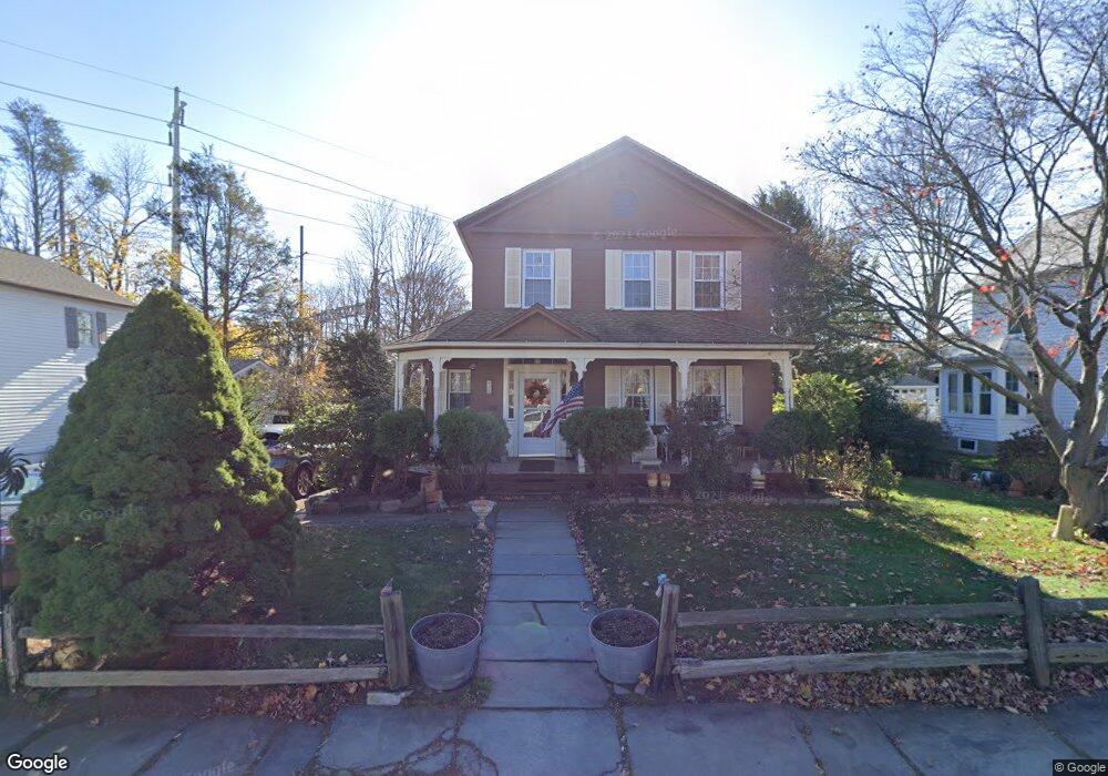
425 Westway Rd Southport, CT 06890
Southport NeighborhoodEstimated Value: $1,110,162 - $2,319,000
4
Beds
3
Baths
2,586
Sq Ft
$561/Sq Ft
Est. Value
About This Home
This home is located at 425 Westway Rd, Southport, CT 06890 and is currently estimated at $1,450,791, approximately $561 per square foot. 425 Westway Rd is a home located in Fairfield County with nearby schools including Mill Hill School, Roger Ludlowe Middle School, and Fairfield Ludlowe High School.
Ownership History
Date
Name
Owned For
Owner Type
Purchase Details
Closed on
May 6, 2025
Sold by
Gomperts George W
Bought by
Gomperts Flt and Gomperts G
Current Estimated Value
Purchase Details
Closed on
May 3, 1973
Bought by
Gomperts George W and Gomperts Barbara R
Create a Home Valuation Report for This Property
The Home Valuation Report is an in-depth analysis detailing your home's value as well as a comparison with similar homes in the area
Home Values in the Area
Average Home Value in this Area
Purchase History
| Date | Buyer | Sale Price | Title Company |
|---|---|---|---|
| Gomperts Flt | -- | None Available | |
| Gomperts Flt | -- | None Available | |
| Gomperts George W | -- | -- |
Source: Public Records
Mortgage History
| Date | Status | Borrower | Loan Amount |
|---|---|---|---|
| Previous Owner | Gomperts George W | $25,000 | |
| Previous Owner | Gomperts George W | $95,000 |
Source: Public Records
Tax History Compared to Growth
Tax History
| Year | Tax Paid | Tax Assessment Tax Assessment Total Assessment is a certain percentage of the fair market value that is determined by local assessors to be the total taxable value of land and additions on the property. | Land | Improvement |
|---|---|---|---|---|
| 2025 | $10,674 | $375,970 | $241,360 | $134,610 |
| 2024 | $10,490 | $375,970 | $241,360 | $134,610 |
| 2023 | $10,343 | $375,970 | $241,360 | $134,610 |
| 2022 | $10,241 | $375,970 | $241,360 | $134,610 |
| 2021 | $10,144 | $375,970 | $241,360 | $134,610 |
| 2020 | $10,243 | $382,340 | $238,840 | $143,500 |
| 2019 | $10,243 | $382,340 | $238,840 | $143,500 |
| 2018 | $10,078 | $382,340 | $238,840 | $143,500 |
| 2017 | $9,872 | $382,340 | $238,840 | $143,500 |
| 2016 | $9,731 | $382,340 | $238,840 | $143,500 |
| 2015 | $11,358 | $458,150 | $266,140 | $192,010 |
| 2014 | $11,179 | $458,150 | $266,140 | $192,010 |
Source: Public Records
Map
Nearby Homes
- 305 S Gate Ln
- 944 Pequot Ave
- 260 Willow St
- 2 Elmwood Dr Unit 2
- 153 Pease Ave
- 342 Greens Farms Rd
- 220 Lansdowne
- 28 Mill Hill Rd Unit 28
- 7 High Gate Rd
- 36 Maple Ave S
- 86 Maple Ave S
- 844 Mill Hill Terrace
- 828 Sasco Hill Rd
- 125 Old Rd
- 775 Sasco Hill Rd
- 53 Hilltop Dr
- 100 Overhill Rd
- 88 Overhill Rd
- 1131 Sasco Hill Rd
- 1 Coastal Ct
- 437 Westway Rd
- 411 Westway Rd
- 31 Westford Dr
- 32 Westford Dr
- 462 Westway Rd
- 441 Westford Dr
- 469 Westway Rd Unit 202
- 436 Westford Dr
- 65 Westford Dr
- 471 Westway Rd Unit 471
- 456 Westford Dr
- 427 Westford Dr
- 82 Westford Dr
- 487 Westway Rd Unit 487
- 411 Westford Dr
- 404 Westford Dr
- 416 Westford Dr
- 100 Westford Dr
- 93 Westford Dr
- 397 Westford Dr