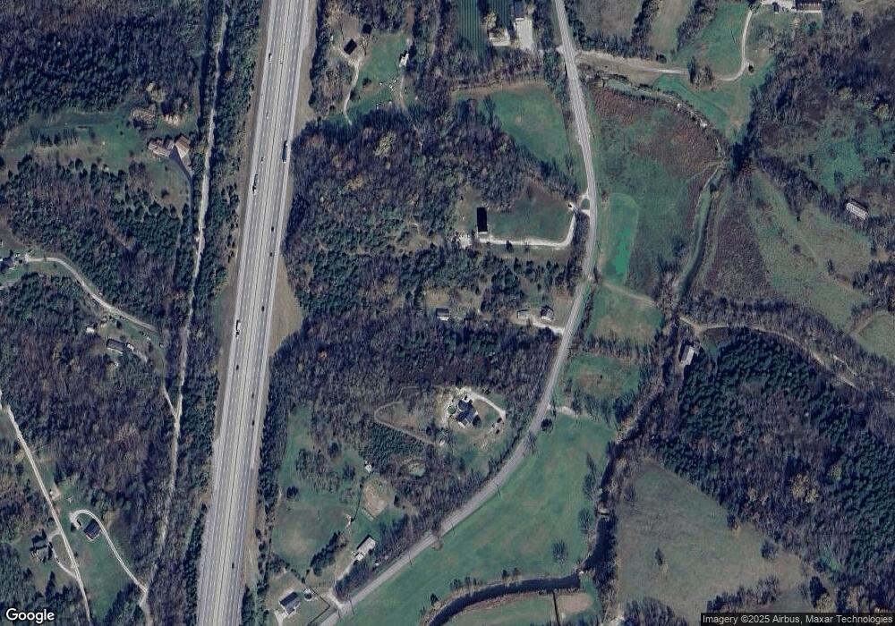
4250 Cincinnati Rd Georgetown, KY 40324
Muddy Ford NeighborhoodEstimated Value: $109,000 - $135,000
3
Beds
1
Bath
924
Sq Ft
$127/Sq Ft
Est. Value
About This Home
This home is located at 4250 Cincinnati Rd, Georgetown, KY 40324 and is currently estimated at $117,771, approximately $127 per square foot. 4250 Cincinnati Rd is a home with nearby schools including Northern Elementary School, Creekside Elementary School, and Royal Spring Middle School.
Ownership History
Date
Name
Owned For
Owner Type
Purchase Details
Closed on
Aug 14, 2025
Sold by
Graves Casey M and Graves Shane A
Bought by
Hill Corey and Hill Angela
Current Estimated Value
Home Financials for this Owner
Home Financials are based on the most recent Mortgage that was taken out on this home.
Original Mortgage
$93,500
Outstanding Balance
$93,176
Interest Rate
5.92%
Mortgage Type
New Conventional
Estimated Equity
$24,595
Create a Home Valuation Report for This Property
The Home Valuation Report is an in-depth analysis detailing your home's value as well as a comparison with similar homes in the area
Home Values in the Area
Average Home Value in this Area
Purchase History
| Date | Buyer | Sale Price | Title Company |
|---|---|---|---|
| Hill Corey | $110,000 | Bluegrass Land Title | |
| Hill Corey | $110,000 | Bluegrass Land Title |
Source: Public Records
Mortgage History
| Date | Status | Borrower | Loan Amount |
|---|---|---|---|
| Open | Hill Corey | $93,500 | |
| Closed | Hill Corey | $93,500 |
Source: Public Records
Tax History Compared to Growth
Tax History
| Year | Tax Paid | Tax Assessment Tax Assessment Total Assessment is a certain percentage of the fair market value that is determined by local assessors to be the total taxable value of land and additions on the property. | Land | Improvement |
|---|---|---|---|---|
| 2024 | $545 | $60,600 | $0 | $0 |
| 2023 | $524 | $57,816 | $45,000 | $12,816 |
| 2022 | $492 | $57,816 | $45,000 | $12,816 |
| 2021 | $507 | $57,816 | $45,000 | $12,816 |
| 2020 | $497 | $57,816 | $45,000 | $12,816 |
| 2019 | $505 | $57,816 | $0 | $0 |
| 2018 | $458 | $52,816 | $0 | $0 |
| 2017 | $416 | $47,700 | $0 | $0 |
| 2016 | $384 | $47,700 | $0 | $0 |
| 2015 | $382 | $47,700 | $0 | $0 |
| 2014 | $365 | $47,716 | $0 | $0 |
| 2011 | $347 | $47,716 | $0 | $0 |
Source: Public Records
Map
Nearby Homes
- 120 Summeridge Rd
- 167 Westwoods Dr
- 163 Westwoods Dr
- 180 Westwoods Dr
- 161 Westwoods Dr
- 187 Westwoods Dr
- 157 Westwoods Dr
- 141 Westwoods Dr
- 135 Westwoods Dr
- 131 Westwoods Dr
- 129 Westwoods Dr
- 127 Westwoods Dr
- 257 Luke Rd
- 110 Westwoods Dr
- 972 Double Culvert Rd
- 8978 Cincinnati Pike
- 124 Blackberry Ridge Ct
- 121 Blackberry Ln
- 119 Blackberry Ln
- 117 Blackberry Ln
- 4280 Cincinnati Rd
- 4248 Cincinnati Rd
- 9018 Brooks Ln
- 6468 Brooks Ln
- 7771 Brooks Ln
- 7101 Brooks Ln
- 7437 Brooks Ln
- 7775 Brooks Ln
- 33333349 Brooks Ln
- 0 Brooks Ln
- 1643 Brooks Ln
- 1418 Brooks Ln
- 1626 Brooks Ln
- 1 Brooks Ln
- 1341 Brooks Ln
- 4286 Brooks Ln
- 1800 Brooks Ln
- 4160 Cincinnati Rd
- 126 Brooks Ln
- 140 Brooks Ln
