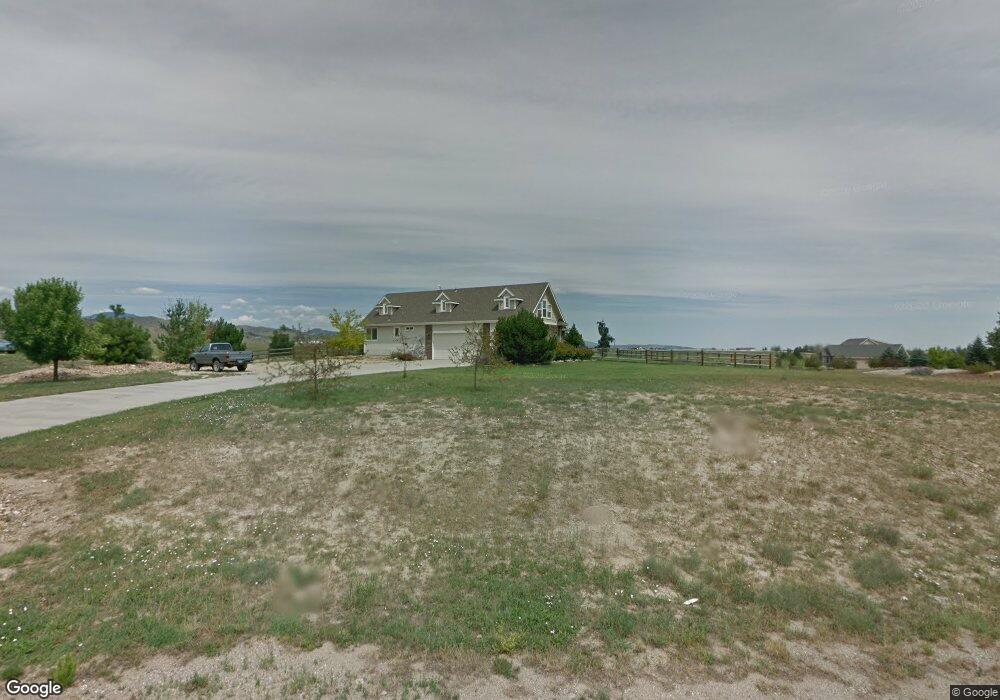
4250 Malibu Dr Berthoud, CO 80513
Estimated Value: $1,096,143 - $1,569,000
4
Beds
4
Baths
2,850
Sq Ft
$470/Sq Ft
Est. Value
About This Home
This home is located at 4250 Malibu Dr, Berthoud, CO 80513 and is currently estimated at $1,340,036, approximately $470 per square foot. 4250 Malibu Dr is a home located in Larimer County with nearby schools including Berthoud Elementary School, Turner Middle School, and Berthoud High School.
Ownership History
Date
Name
Owned For
Owner Type
Purchase Details
Closed on
Apr 6, 2004
Sold by
Pilkington Herman Construction Inc
Bought by
Wollan Eric R and Wollan Annet
Current Estimated Value
Home Financials for this Owner
Home Financials are based on the most recent Mortgage that was taken out on this home.
Original Mortgage
$479,200
Outstanding Balance
$202,374
Interest Rate
4.62%
Mortgage Type
Purchase Money Mortgage
Estimated Equity
$1,137,662
Purchase Details
Closed on
Sep 30, 2002
Sold by
Conder Steve
Bought by
Pilkington Herman Construction Inc
Create a Home Valuation Report for This Property
The Home Valuation Report is an in-depth analysis detailing your home's value as well as a comparison with similar homes in the area
Purchase History
| Date | Buyer | Sale Price | Title Company |
|---|---|---|---|
| Wollan Eric R | $599,000 | Land Title | |
| Pilkington Herman Construction Inc | $175,000 | -- |
Source: Public Records
Mortgage History
| Date | Status | Borrower | Loan Amount |
|---|---|---|---|
| Open | Wollan Eric R | $479,200 | |
| Closed | Wollan Eric R | $89,850 |
Source: Public Records
Tax History
| Year | Tax Paid | Tax Assessment Tax Assessment Total Assessment is a certain percentage of the fair market value that is determined by local assessors to be the total taxable value of land and additions on the property. | Land | Improvement |
|---|---|---|---|---|
| 2025 | $7,693 | $79,131 | $16,875 | $62,256 |
| 2024 | $7,466 | $83,395 | $18,090 | $65,305 |
| 2022 | $5,912 | $61,425 | $13,831 | $47,594 |
| 2021 | $6,077 | $63,192 | $14,229 | $48,963 |
| 2020 | $5,758 | $59,860 | $12,799 | $47,061 |
| 2019 | $5,683 | $59,860 | $12,799 | $47,061 |
| 2018 | $5,279 | $53,366 | $9,864 | $43,502 |
| 2017 | $4,670 | $53,366 | $9,864 | $43,502 |
| 2016 | $4,693 | $52,177 | $10,666 | $41,511 |
| 2015 | $4,157 | $46,500 | $10,670 | $35,830 |
| 2014 | $3,479 | $37,290 | $7,160 | $30,130 |
Source: Public Records
Map
Nearby Homes
- 867 Carvin Ct
- 871 N County Road 23e
- 0 W County Road 8e Unit RECIR1018960
- 3608 W County Road 8
- 2102 Shoreside Dr
- 3412 Erving Ct
- 914 Logan Peak Way
- 5644 Kiva Ridge Dr
- 523 Nesting Eagles Way
- 524 Nesting Eagles Way
- 3000 Sundown Dr
- 2517 Southwind Rd
- 5306 Foothills Dr
- 5216 Glen Dr
- 4952 S County Road 29
- 5714 Bluff Ln
- 2672 Bluewater Rd
- 2668 Big Creek Ct
- 2622 Bluewater Rd
- 1061 Berthoud Peak Dr
Your Personal Tour Guide
Ask me questions while you tour the home.