42505 Shady Pine Ct Leonardtown, MD 20650
Estimated Value: $416,000 - $458,000
3
Beds
2
Baths
1,890
Sq Ft
$232/Sq Ft
Est. Value
About This Home
This home is located at 42505 Shady Pine Ct, Leonardtown, MD 20650 and is currently estimated at $438,251, approximately $231 per square foot. 42505 Shady Pine Ct is a home located in St. Mary's County with nearby schools including Leonardtown Elementary School, Leonardtown Middle School, and Leonardtown High School.
Ownership History
Date
Name
Owned For
Owner Type
Purchase Details
Closed on
May 5, 2010
Sold by
Thomason Mark E and Thomason Theresa M
Bought by
Pratt Edwin L and Pratt Linda G
Current Estimated Value
Purchase Details
Closed on
Mar 18, 1993
Sold by
Graves Robert Louis
Bought by
Thomason Mark E and Thomason Theresa M
Home Financials for this Owner
Home Financials are based on the most recent Mortgage that was taken out on this home.
Original Mortgage
$137,700
Interest Rate
7.47%
Purchase Details
Closed on
Jan 2, 1990
Sold by
Bell J Ernest
Bought by
Graves Robert Louis
Home Financials for this Owner
Home Financials are based on the most recent Mortgage that was taken out on this home.
Original Mortgage
$123,650
Interest Rate
9.78%
Create a Home Valuation Report for This Property
The Home Valuation Report is an in-depth analysis detailing your home's value as well as a comparison with similar homes in the area
Home Values in the Area
Average Home Value in this Area
Purchase History
| Date | Buyer | Sale Price | Title Company |
|---|---|---|---|
| Pratt Edwin L | $285,000 | -- | |
| Thomason Mark E | $136,000 | -- | |
| Graves Robert Louis | $122,500 | -- |
Source: Public Records
Mortgage History
| Date | Status | Borrower | Loan Amount |
|---|---|---|---|
| Previous Owner | Thomason Mark E | $137,700 | |
| Previous Owner | Graves Robert Louis | $123,650 | |
| Closed | Pratt Edwin L | -- |
Source: Public Records
Tax History Compared to Growth
Tax History
| Year | Tax Paid | Tax Assessment Tax Assessment Total Assessment is a certain percentage of the fair market value that is determined by local assessors to be the total taxable value of land and additions on the property. | Land | Improvement |
|---|---|---|---|---|
| 2025 | $3,381 | $323,200 | $116,200 | $207,000 |
| 2024 | $3,216 | $308,300 | $0 | $0 |
| 2023 | $3,025 | $293,400 | $0 | $0 |
| 2022 | $2,930 | $278,500 | $116,200 | $162,300 |
| 2021 | $2,887 | $274,400 | $0 | $0 |
| 2020 | $2,843 | $270,300 | $0 | $0 |
| 2019 | $2,800 | $266,200 | $116,200 | $150,000 |
| 2018 | $2,798 | $266,200 | $116,200 | $150,000 |
| 2017 | $2,779 | $266,200 | $0 | $0 |
| 2016 | -- | $274,000 | $0 | $0 |
| 2015 | $2,884 | $274,000 | $0 | $0 |
| 2014 | $2,884 | $274,000 | $0 | $0 |
Source: Public Records
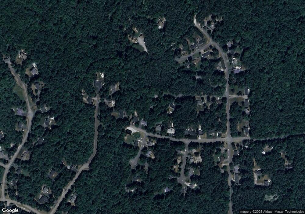
Map
Nearby Homes
- 21039 Woodmere Dr
- 42611 Wilderness Rd
- 21117 Catnip Ct
- 42043 Starlight Dr
- 20959 Redgate Ln
- 20753 Chestnut Ridge Dr
- 22216 Hanover Dr
- 42520 Riverwinds Dr
- 40412 B Somerville Ln
- 43488 Medleys Neck Rd
- 41832 Foxwell Point Ln
- 19921 Tower Hill Rd
- 0 Cedar Lane Rd
- 22539 Landing Way
- 19700 Mulberry Fields Rd
- 20697 Chingville Rd
- 22466 Benswood Rd
- 25365 Point Lookout Rd
- 22405 Indian Bridge Rd
- 44180 Cross Bow Ln
- 42501 Shady Pine Ct
- 42509 Shady Pine Ct
- 42464 Wilderness Rd
- 42454 Wilderness Rd
- 42480 Wilderness Rd
- 21120 Songbird Way
- 42490 Wilderness Rd
- 21132 Songbird Way
- 21140 Autumn Ct
- 21126 Songbird Way
- 21145 Autumn Ct
- 42510 Evergreen Ct
- 42527 Shady Pine Ct
- 21139 Arbor Ct
- 42520 Wilderness Rd
- 21134 Autumn Ct
- 42522 Shady Pine Ct
- 42530 Wilderness Rd
- 21129 Arbor Ct
- 42537 Shady Pine Ct