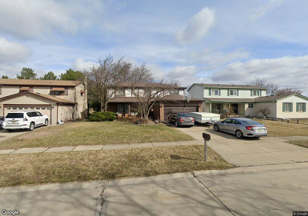
4251 Gloucester Dr Sterling Heights, MI 48310
Estimated Value: $350,368 - $405,000
--
Bed
3
Baths
2,260
Sq Ft
$167/Sq Ft
Est. Value
About This Home
This home is located at 4251 Gloucester Dr, Sterling Heights, MI 48310 and is currently estimated at $378,342, approximately $167 per square foot. 4251 Gloucester Dr is a home located in Macomb County with nearby schools including Jefferson Elementary School, Grissom Middle School, and Sterling Heights Senior H.S..
Ownership History
Date
Name
Owned For
Owner Type
Purchase Details
Closed on
Jun 15, 2016
Sold by
Owens David C
Bought by
Owens Lynnette A
Current Estimated Value
Home Financials for this Owner
Home Financials are based on the most recent Mortgage that was taken out on this home.
Original Mortgage
$156,000
Outstanding Balance
$124,159
Interest Rate
3.57%
Mortgage Type
New Conventional
Estimated Equity
$254,183
Purchase Details
Closed on
Jul 9, 1999
Sold by
Owens Isabele M
Bought by
Owens David C
Create a Home Valuation Report for This Property
The Home Valuation Report is an in-depth analysis detailing your home's value as well as a comparison with similar homes in the area
Home Values in the Area
Average Home Value in this Area
Purchase History
| Date | Buyer | Sale Price | Title Company |
|---|---|---|---|
| Owens Lynnette A | -- | None Available | |
| Owens David C | $180,000 | -- |
Source: Public Records
Mortgage History
| Date | Status | Borrower | Loan Amount |
|---|---|---|---|
| Open | Owens Lynnette A | $156,000 |
Source: Public Records
Tax History Compared to Growth
Tax History
| Year | Tax Paid | Tax Assessment Tax Assessment Total Assessment is a certain percentage of the fair market value that is determined by local assessors to be the total taxable value of land and additions on the property. | Land | Improvement |
|---|---|---|---|---|
| 2025 | $4,641 | $178,600 | $0 | $0 |
| 2024 | $4,240 | $169,700 | $0 | $0 |
| 2023 | $3,844 | $152,000 | $0 | $0 |
| 2022 | $4,415 | $140,600 | $0 | $0 |
| 2021 | $4,247 | $131,300 | $0 | $0 |
| 2020 | $3,927 | $124,100 | $0 | $0 |
| 2019 | $3,827 | $119,100 | $0 | $0 |
| 2018 | $4,162 | $109,500 | $0 | $0 |
| 2017 | $4,006 | $102,800 | $13,500 | $89,300 |
| 2016 | $3,827 | $102,800 | $0 | $0 |
| 2015 | -- | $91,100 | $0 | $0 |
| 2014 | -- | $75,900 | $0 | $0 |
Source: Public Records
Map
Nearby Homes
- 38338 Coronation Dr
- 38576 Cottonwood Dr
- 4325 Fox Hill Dr
- 4622 Ardmore Dr
- 4653 Lucerne Dr
- 3816 Pokley Ct
- 4761 Fox Hill Dr
- 3349 Dobbin Dr
- 3601 Denson Dr
- 3600 Brandi Dr
- 3217 Barton Dr
- 4768 Dreon Ct
- 38172 Yonkers Dr
- 38638 Harrison Dr
- 3038 Donna Dr
- 38968 Harrison Dr
- 37258 Carpathia Blvd
- 39329 Hyland Dr
- 3514 Bates Dr
- 5118 Fredrick Dr
- 12873 Warm Creek Dr Gloucester Dr
- 4239 Gloucester Dr
- 4265 Gloucester Dr
- 38535 Cottonwood Dr
- 4225 Gloucester Dr
- 38547 Cottonwood Dr
- 4250 Gloucester Dr
- 4264 Gloucester Dr
- 38559 Cottonwood Dr
- 4224 Gloucester Dr
- 38516 Cottonwood Dr
- 38528 Cottonwood Dr
- 38504 Cottonwood Dr
- 38540 Cottonwood Dr
- 38386 Cottonwood Dr
- 38571 Cottonwood Dr
- 4194 Glenbrook Ct
- 4139 Gloucester Dr
- 38353 Cottonwood Dr
- 38552 Cottonwood Dr