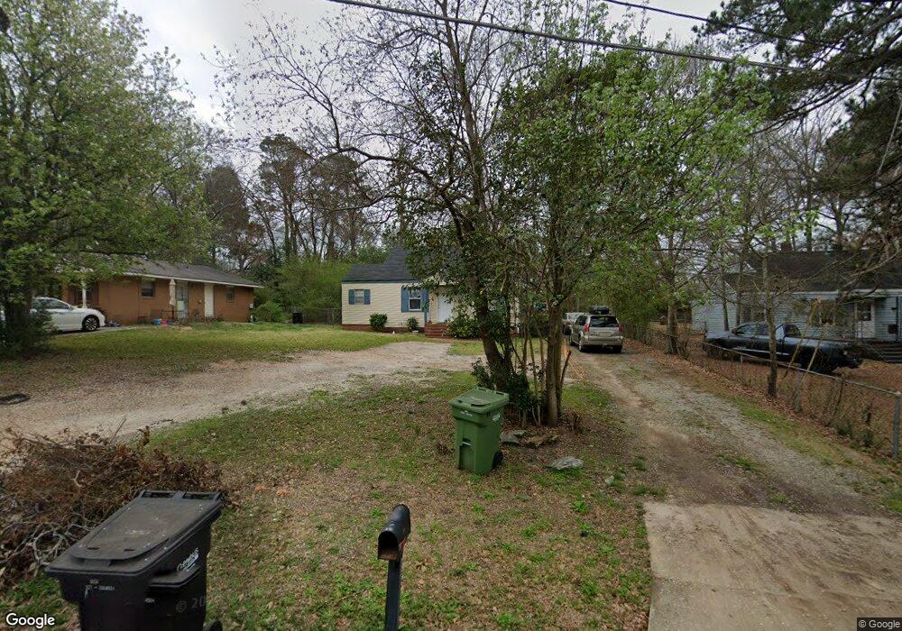
4254 Fort St Columbus, GA 31907
East Columbus NeighborhoodEstimated Value: $70,000 - $100,000
2
Beds
2
Baths
961
Sq Ft
$89/Sq Ft
Est. Value
About This Home
This home is located at 4254 Fort St, Columbus, GA 31907 and is currently estimated at $85,689, approximately $89 per square foot. 4254 Fort St is a home located in Muscogee County with nearby schools including Gentian Elementary School, Fort Middle School, and Hardaway High School.
Ownership History
Date
Name
Owned For
Owner Type
Purchase Details
Closed on
Jan 25, 2011
Sold by
Cpi Housing Fund Llc
Bought by
Westmoreland Companies Llc
Current Estimated Value
Purchase Details
Closed on
Nov 24, 2010
Sold by
Fannie Mae
Bought by
Cpi Housing Fund Llc
Purchase Details
Closed on
Apr 6, 2010
Sold by
Bac Home Loans Servicing Lp
Bought by
Federal National Mortgage Association
Create a Home Valuation Report for This Property
The Home Valuation Report is an in-depth analysis detailing your home's value as well as a comparison with similar homes in the area
Home Values in the Area
Average Home Value in this Area
Purchase History
| Date | Buyer | Sale Price | Title Company |
|---|---|---|---|
| Westmoreland Companies Llc | $21,000 | None Available | |
| Cpi Housing Fund Llc | $12,000 | None Available | |
| Federal National Mortgage Association | -- | None Available | |
| Bac Home Loans Servicing Lp | $54,170 | None Available |
Source: Public Records
Tax History
| Year | Tax Paid | Tax Assessment Tax Assessment Total Assessment is a certain percentage of the fair market value that is determined by local assessors to be the total taxable value of land and additions on the property. | Land | Improvement |
|---|---|---|---|---|
| 2025 | $1,034 | $26,408 | $8,480 | $17,928 |
| 2024 | $879 | $26,408 | $8,480 | $17,928 |
| 2023 | $1,040 | $26,408 | $8,480 | $17,928 |
| 2022 | $763 | $25,224 | $6,368 | $18,856 |
| 2021 | $763 | $18,692 | $6,368 | $12,324 |
| 2020 | $680 | $16,660 | $6,368 | $10,292 |
| 2019 | $683 | $16,660 | $6,368 | $10,292 |
| 2018 | $683 | $16,660 | $6,368 | $10,292 |
| 2017 | $692 | $16,660 | $6,368 | $10,292 |
| 2016 | $627 | $15,200 | $2,958 | $12,242 |
| 2015 | $628 | $15,200 | $2,958 | $12,242 |
| 2014 | $685 | $22,872 | $2,958 | $19,914 |
| 2013 | -- | $22,872 | $2,958 | $19,914 |
Source: Public Records
Map
Nearby Homes
- 4222 Fort St
- 4250 Adams St
- 4221 Adams St
- 2218 Avalon Rd
- 4201 Forrest Rd
- 4312 Old MacOn Rd Unit 56
- 4135 Forrest Rd
- 2608 Juniper Ave
- 4160 Spirea Dr
- 911 Lamore St
- 4384 Forrest Rd
- 4390 Forrest Rd
- 4396 Forrest Rd
- 4402 Forrest Rd
- 4410 Forrest Rd
- 4229 Barr St
- 4470 Lapaloma Dr
- 2841 Christine Rd
- 4444 Norcross Dr
- 2213 Welch Dr
Your Personal Tour Guide
Ask me questions while you tour the home.