4254 Highway 351 Jonesboro, AR 72401
Estimated Value: $465,000 - $523,632
--
Bed
3
Baths
2,652
Sq Ft
$185/Sq Ft
Est. Value
About This Home
This home is located at 4254 Highway 351, Jonesboro, AR 72401 and is currently estimated at $491,408, approximately $185 per square foot. 4254 Highway 351 is a home located in Craighead County with nearby schools including Brookland Elementary School, Brookland Middle School, and Brookland Junior High School.
Ownership History
Date
Name
Owned For
Owner Type
Purchase Details
Closed on
Mar 23, 2005
Sold by
Mcelroy Mary and Mcelroy W J
Bought by
Brewer Rick and Brewer Janet
Current Estimated Value
Purchase Details
Closed on
Apr 15, 2004
Bought by
Brewer
Purchase Details
Closed on
Mar 5, 2002
Bought by
Brewer
Create a Home Valuation Report for This Property
The Home Valuation Report is an in-depth analysis detailing your home's value as well as a comparison with similar homes in the area
Home Values in the Area
Average Home Value in this Area
Purchase History
| Date | Buyer | Sale Price | Title Company |
|---|---|---|---|
| Brewer Rick | $23,000 | Lenders Title Co | |
| Brewer | -- | -- | |
| Brewer | $22,000 | -- |
Source: Public Records
Mortgage History
| Date | Status | Borrower | Loan Amount |
|---|---|---|---|
| Open | Brewer | $127,860 |
Source: Public Records
Tax History Compared to Growth
Tax History
| Year | Tax Paid | Tax Assessment Tax Assessment Total Assessment is a certain percentage of the fair market value that is determined by local assessors to be the total taxable value of land and additions on the property. | Land | Improvement |
|---|---|---|---|---|
| 2025 | $2,055 | $85,177 | $20,952 | $64,225 |
| 2024 | $2,055 | $85,177 | $20,952 | $64,225 |
| 2023 | $1,641 | $85,177 | $20,952 | $64,225 |
| 2022 | $1,691 | $85,177 | $20,952 | $64,225 |
| 2021 | $2,335 | $62,250 | $15,110 | $47,140 |
| 2020 | $1,755 | $62,250 | $15,110 | $47,140 |
| 2019 | $1,755 | $62,250 | $15,110 | $47,140 |
| 2018 | $1,780 | $62,250 | $15,110 | $47,140 |
| 2017 | $1,780 | $62,250 | $15,110 | $47,140 |
| 2016 | $1,780 | $43,630 | $12,960 | $30,670 |
| 2015 | $2,055 | $43,630 | $12,960 | $30,670 |
| 2014 | $1,780 | $43,630 | $12,960 | $30,670 |
Source: Public Records
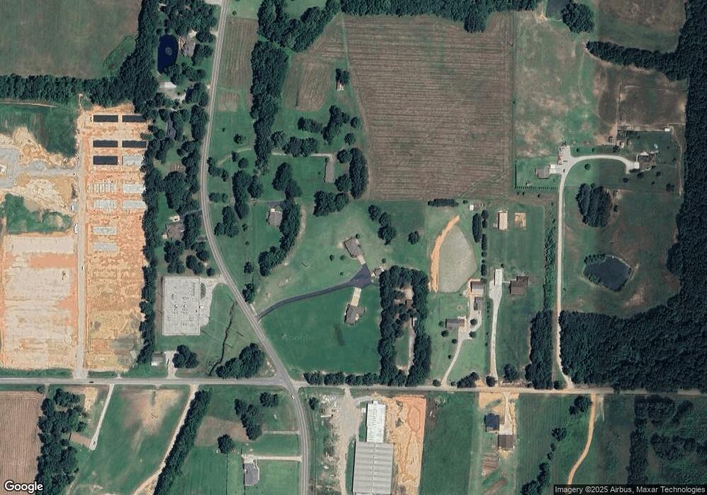
Map
Nearby Homes
- 4401 Highway 351
- 11.46 Acres Arkansas 351
- 3997 Highway 351
- 2618 Arkansas 351
- 11 Arkansas 351
- 135 Cr 7127
- 4851 County Road 745
- 92 Cr 7185
- 92 County Road 7185
- 94
- 5936 745
- 6072 County Road 745
- 2833 County Road 759
- 52 County Road 7180
- 4616 County Road 745
- 230 County Road 7710
- 2640 County Road 759
- 201 County Road 712
- 551 County Road 782
- 35 County Road 7181
- 4252 Highway 351
- 4252 Highway 351
- 125 County Road 754
- 4362 Highway 351
- Lot 3 County Road 754
- 4386 Highway 351
- Lot 2 County Road 754
- 14 acres Stable Hwy 351 & Cr 754
- 4321 Highway 351
- 175 County Road 754
- 4321 Arkansas 351
- 3656 County Road 766
- 4 Cr 754
- 146 Cr 754
- 4151 Highway 351
- 23 County Road 754
- 23 Acres Cr 754
- 3078 County Road 766
- 291 County Road 754
- 4401 Arkansas 351