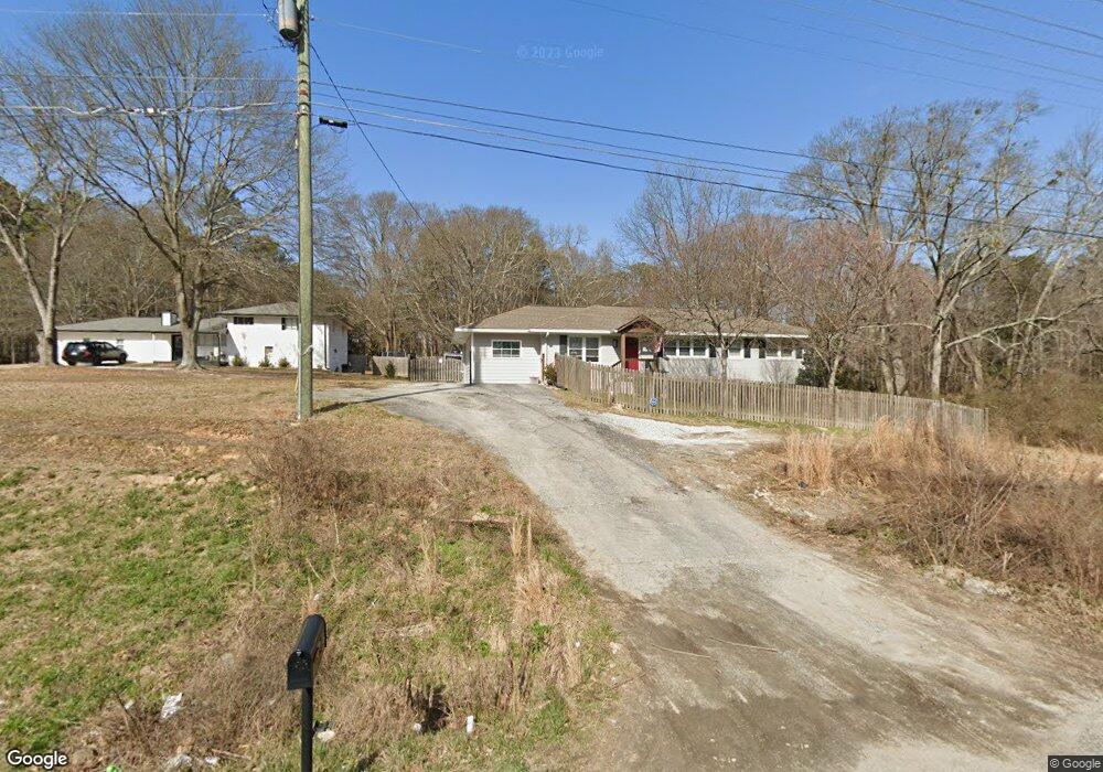
4254 MacLand Rd Powder Springs, GA 30127
West Cobb NeighborhoodEstimated Value: $276,000 - $397,000
3
Beds
2
Baths
1,627
Sq Ft
$205/Sq Ft
Est. Value
About This Home
This home is located at 4254 MacLand Rd, Powder Springs, GA 30127 and is currently estimated at $332,738, approximately $204 per square foot. 4254 MacLand Rd is a home located in Cobb County with nearby schools including Tapp Middle School, McEachern High School, and Riverstone Montessori Academy.
Ownership History
Date
Name
Owned For
Owner Type
Purchase Details
Closed on
Aug 20, 2021
Sold by
Carruth Jennifer Arnett
Bought by
Perez Jose Manuel Angel and Perez Alejandro Angel
Current Estimated Value
Home Financials for this Owner
Home Financials are based on the most recent Mortgage that was taken out on this home.
Original Mortgage
$225,000
Outstanding Balance
$203,839
Interest Rate
2.8%
Mortgage Type
New Conventional
Estimated Equity
$128,899
Create a Home Valuation Report for This Property
The Home Valuation Report is an in-depth analysis detailing your home's value as well as a comparison with similar homes in the area
Home Values in the Area
Average Home Value in this Area
Purchase History
| Date | Buyer | Sale Price | Title Company |
|---|---|---|---|
| Perez Jose Manuel Angel | $300,000 | None Available |
Source: Public Records
Mortgage History
| Date | Status | Borrower | Loan Amount |
|---|---|---|---|
| Open | Perez Jose Manuel Angel | $225,000 |
Source: Public Records
Tax History Compared to Growth
Tax History
| Year | Tax Paid | Tax Assessment Tax Assessment Total Assessment is a certain percentage of the fair market value that is determined by local assessors to be the total taxable value of land and additions on the property. | Land | Improvement |
|---|---|---|---|---|
| 2025 | $563 | $112,164 | $54,448 | $57,716 |
| 2024 | $566 | $112,164 | $54,448 | $57,716 |
| 2023 | $305 | $93,776 | $47,228 | $46,548 |
| 2022 | $448 | $72,956 | $36,668 | $36,288 |
| 2021 | $448 | $72,956 | $36,668 | $36,288 |
| 2020 | $414 | $61,292 | $25,004 | $36,288 |
| 2019 | $414 | $61,292 | $25,004 | $36,288 |
| 2018 | $394 | $54,848 | $21,112 | $33,736 |
| 2017 | $354 | $54,848 | $21,112 | $33,736 |
| 2016 | $333 | $47,628 | $13,892 | $33,736 |
| 2015 | $358 | $47,628 | $13,892 | $33,736 |
| 2014 | $358 | $45,456 | $0 | $0 |
Source: Public Records
Map
Nearby Homes
- Yellowstone Plan at Linden Grove
- Winthrop Plan at Linden Grove
- Valen Plan at Linden Grove
- Tilden Plan at Linden Grove
- Liston Plan at Linden Grove
- Frazier Plan at Linden Grove
- 1960 Lost Mountain Rd
- 2015 Augustine Trace
- 2159 Belmont Trace
- 1830 Lost Mountain Rd
- 4458 Spring Mountain Ln
- 1827 Lost Mountain Rd
- 1888 Rainbow Ln
- 1799 Harmony Rd
- 4643 Melody Ct
- 4545 Gaydon Rd
- 2337 Old Lost Mountain Rd
- 2526 New MacLand Rd
- 4696 Cooling Water Cir
- 4264 MacLand Rd
- 4242 MacLand Rd
- 4274 MacLand Rd
- 2030 Youngstown Place
- 4284 MacLand Rd
- 4321 MacLand Rd
- 2020 Youngstown Place
- 4300 MacLand Rd
- 0 Youngstown Place Unit 8541573
- 0 Youngstown Place Unit 8822177
- 0 Youngstown Place Unit 8008530
- 0 Youngstown Place
- 2025 Youngstown Place
- 4245 Thayer Dr
- 4265 Thayer Dr
- 4255 Thayer Dr
- 4295 Thayer Dr SW
- 4235 Thayer Dr
- 4285 Thayer Dr
- 4275 Thayer Dr