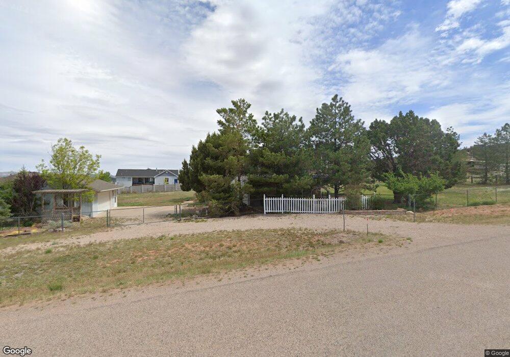
4254 W 1400 S Cedar City, UT 84720
Estimated Value: $425,000 - $529,000
--
Bed
--
Bath
1,489
Sq Ft
$326/Sq Ft
Est. Value
About This Home
This home is located at 4254 W 1400 S, Cedar City, UT 84720 and is currently estimated at $485,071, approximately $325 per square foot. 4254 W 1400 S is a home located in Iron County with nearby schools including Iron Springs School, Cedar Middle School, and Cedar City High School.
Ownership History
Date
Name
Owned For
Owner Type
Purchase Details
Closed on
Apr 23, 2021
Sold by
Eleanor Palmer
Bought by
Palmer Family Trust
Current Estimated Value
Purchase Details
Closed on
Jul 31, 2007
Sold by
Palmer Anthony R and Palmer Eleanor
Bought by
Palmer Anthony and Palmer Eleanor
Home Financials for this Owner
Home Financials are based on the most recent Mortgage that was taken out on this home.
Original Mortgage
$195,000
Interest Rate
7.25%
Mortgage Type
Adjustable Rate Mortgage/ARM
Create a Home Valuation Report for This Property
The Home Valuation Report is an in-depth analysis detailing your home's value as well as a comparison with similar homes in the area
Home Values in the Area
Average Home Value in this Area
Purchase History
| Date | Buyer | Sale Price | Title Company |
|---|---|---|---|
| Palmer Family Trust | -- | None Listed On Document | |
| Palmer Anthony | -- | -- |
Source: Public Records
Mortgage History
| Date | Status | Borrower | Loan Amount |
|---|---|---|---|
| Previous Owner | Palmer Anthony | $195,000 |
Source: Public Records
Tax History Compared to Growth
Tax History
| Year | Tax Paid | Tax Assessment Tax Assessment Total Assessment is a certain percentage of the fair market value that is determined by local assessors to be the total taxable value of land and additions on the property. | Land | Improvement |
|---|---|---|---|---|
| 2025 | $1,925 | $246,892 | $108,068 | $138,824 |
| 2023 | $1,927 | $237,175 | $86,455 | $150,720 |
| 2022 | $1,748 | $195,345 | $66,505 | $128,840 |
| 2021 | $1,377 | $153,870 | $41,565 | $112,305 |
| 2020 | $1,139 | $124,095 | $34,635 | $89,460 |
| 2019 | $1,166 | $108,115 | $30,320 | $77,795 |
| 2018 | $1,063 | $98,605 | $28,940 | $69,665 |
| 2017 | $1,068 | $89,530 | $26,045 | $63,485 |
| 2016 | $1,021 | $81,675 | $18,190 | $63,485 |
| 2015 | $981 | $78,485 | $0 | $0 |
| 2014 | $988 | $74,570 | $0 | $0 |
Source: Public Records
Map
Nearby Homes
- 4262 W 1400 S
- 4312 W 1525 S
- 1220 S Laurie Ln
- 2582 S Westview Dr Unit 194 Acres 165 AF Wat
- 51 S 4375 W Unit 24
- 51 S 4375 W Unit 4
- 51 S 4375 W Unit 7
- 51 S 4375 W Unit 21
- 51 S 4375 W Unit 6
- 51 S 4375 W Unit 23
- 51 S 4375 W Unit 15
- 51 S 4375 W Unit 18
- 51 S 4375 W Unit 9
- 51 S 4375 W Unit 5
- 51 S 4375 W Unit 8
- 51 S 4375 W Unit 25
- 51 S 4375 W Unit 22
- 51 S 4375 W Unit 17
- 51 S 4375 W Unit 26
- 51 S 4375 W Unit 16
- 4211 W 1325 S Unit 4
- 4211 W 1325 S
- 4202 W 1400 S
- 4247 W 1325 S Unit 4
- 4247 W 1325 S Unit Lot 14E, WV4
- 4247 W 1325 S
- 1422 S 4200 W
- 4267 W 1400 S
- 4263 W 1325 S Unit 4
- 4191 W 1325 S Unit 4
- 4214 W 1325 S Unit 4
- 4214 W 1325 S
- 4232 W 1325 S Unit 4
- 4281 W 1325 S Unit 4
- 1318 S 4175 W
- 4194 W 1325 S Unit 4
- 4298 W 1400 S
- 4252 W 1325 S Unit 4
- 1398 S Westview Dr