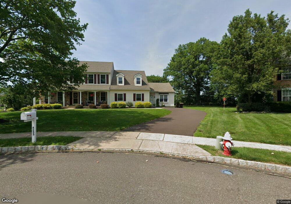
4255 Mia Ln Doylestown, PA 18902
Plumstead NeighborhoodEstimated Value: $755,000 - $863,181
5
Beds
4
Baths
3,414
Sq Ft
$242/Sq Ft
Est. Value
About This Home
This home is located at 4255 Mia Ln, Doylestown, PA 18902 and is currently estimated at $826,545, approximately $242 per square foot. 4255 Mia Ln is a home located in Bucks County with nearby schools including Groveland Elementary School, Tohickon Middle School, and Central Bucks High School-West.
Ownership History
Date
Name
Owned For
Owner Type
Purchase Details
Closed on
Jun 26, 2008
Sold by
Philipps Robert P and Philipps Susan L
Bought by
Philipps Robert P and Philipps Susan L
Current Estimated Value
Purchase Details
Closed on
Jul 28, 2006
Sold by
Snyder William and Snyder Barbara M
Bought by
Philipps Robert P and Philipps Susan L
Home Financials for this Owner
Home Financials are based on the most recent Mortgage that was taken out on this home.
Original Mortgage
$345,000
Outstanding Balance
$208,480
Interest Rate
6.88%
Mortgage Type
Purchase Money Mortgage
Estimated Equity
$618,065
Purchase Details
Closed on
Feb 28, 1997
Sold by
Landis Greene Lp
Bought by
Snyder William and Snyder Barbara M
Home Financials for this Owner
Home Financials are based on the most recent Mortgage that was taken out on this home.
Original Mortgage
$96,000
Interest Rate
7.68%
Create a Home Valuation Report for This Property
The Home Valuation Report is an in-depth analysis detailing your home's value as well as a comparison with similar homes in the area
Home Values in the Area
Average Home Value in this Area
Purchase History
| Date | Buyer | Sale Price | Title Company |
|---|---|---|---|
| Philipps Robert P | -- | None Available | |
| Philipps Robert P | $473,500 | None Available | |
| Snyder William | $195,990 | Lawyers Title Insurance Corp |
Source: Public Records
Mortgage History
| Date | Status | Borrower | Loan Amount |
|---|---|---|---|
| Open | Philipps Robert P | $345,000 | |
| Previous Owner | Snyder William | $96,000 |
Source: Public Records
Tax History Compared to Growth
Tax History
| Year | Tax Paid | Tax Assessment Tax Assessment Total Assessment is a certain percentage of the fair market value that is determined by local assessors to be the total taxable value of land and additions on the property. | Land | Improvement |
|---|---|---|---|---|
| 2025 | $8,451 | $48,640 | $6,890 | $41,750 |
| 2024 | $8,451 | $48,640 | $6,890 | $41,750 |
| 2023 | $8,183 | $48,640 | $6,890 | $41,750 |
| 2022 | $8,091 | $48,640 | $6,890 | $41,750 |
| 2021 | $8,001 | $48,640 | $6,890 | $41,750 |
| 2020 | $8,001 | $48,640 | $6,890 | $41,750 |
| 2019 | $7,952 | $48,640 | $6,890 | $41,750 |
| 2018 | $7,952 | $48,640 | $6,890 | $41,750 |
| 2017 | $7,843 | $48,640 | $6,890 | $41,750 |
| 2016 | $7,843 | $48,640 | $6,890 | $41,750 |
| 2015 | -- | $48,640 | $6,890 | $41,750 |
| 2014 | -- | $48,640 | $6,890 | $41,750 |
Source: Public Records
Map
Nearby Homes
- 4000 Miriam Dr
- 1222 Hockley Dr
- 3789 Stump Rd
- 1214 Hockley Dr
- 204 Pennland Farm Dr
- 4811 Lincoln Aly
- 81 Williams Dr
- 319 Pennington Way
- 5068 Kratz Carriage Rd
- 4936 Curly Hill Rd
- Lot 10 Schadle Rd
- 316 Schadle Rd
- Lot 6 Henry Ct
- 17 Ruhl Dr
- 137 S Main St
- 4298 Kleinot Dr
- 4246 Kleinot Dr
- 4464 Kleinot Dr
- 4306 Kleinot Dr
- 4317 Kleinot Dr