4255 Old Us Highway 68 Ripley, OH 45167
Estimated Value: $80,662 - $226,000
2
Beds
1
Bath
975
Sq Ft
$156/Sq Ft
Est. Value
About This Home
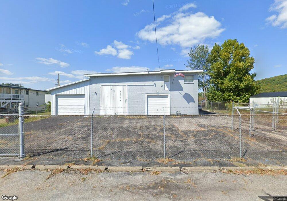
This home is located at 4255 Old Us Highway 68, Ripley, OH 45167 and is currently estimated at $151,666, approximately $155 per square foot. 4255 Old Us Highway 68 is a home located in Brown County with nearby schools including Ripley Union Lewis Huntington Elementary School, Ripley Union Lewis Huntington Middle School, and Ripley-Union-Lewis-Huntington High School.
Ownership History
Date
Name
Owned For
Owner Type
Purchase Details
Closed on
Sep 20, 2024
Sold by
Frebis Bernice M
Bought by
Frebis David T
Current Estimated Value
Purchase Details
Closed on
Jan 13, 2024
Sold by
Frebis Bernice M
Bought by
Frebis Thomas W
Purchase Details
Closed on
Feb 16, 2001
Sold by
Frebis Barbara
Bought by
Frebis Thomas W
Create a Home Valuation Report for This Property
The Home Valuation Report is an in-depth analysis detailing your home's value as well as a comparison with similar homes in the area
Home Values in the Area
Average Home Value in this Area
Purchase History
| Date | Buyer | Sale Price | Title Company |
|---|---|---|---|
| Frebis David T | $56,410 | None Listed On Document | |
| Frebis Thomas W | -- | None Listed On Document | |
| Frebis Thomas W | $14,000 | -- |
Source: Public Records
Tax History Compared to Growth
Tax History
| Year | Tax Paid | Tax Assessment Tax Assessment Total Assessment is a certain percentage of the fair market value that is determined by local assessors to be the total taxable value of land and additions on the property. | Land | Improvement |
|---|---|---|---|---|
| 2024 | $635 | $31,560 | $9,250 | $22,310 |
| 2023 | $635 | $19,740 | $7,300 | $12,440 |
| 2022 | $359 | $19,740 | $7,300 | $12,440 |
| 2021 | $344 | $19,740 | $7,300 | $12,440 |
| 2020 | $274 | $17,210 | $6,350 | $10,860 |
| 2019 | $272 | $17,210 | $6,350 | $10,860 |
| 2018 | $135 | $17,210 | $6,350 | $10,860 |
| 2017 | $209 | $15,200 | $6,990 | $8,210 |
| 2016 | $208 | $15,200 | $6,990 | $8,210 |
| 2015 | $208 | $15,200 | $6,990 | $8,210 |
| 2014 | $200 | $14,560 | $6,350 | $8,210 |
| 2013 | $184 | $14,560 | $6,350 | $8,210 |
Source: Public Records
Map
Nearby Homes
- 220 Main St
- 45 Main St
- 316 Circle Dr
- 5205 U S 52
- 402 Circle Dr
- 2028 Lucretia St
- 3635 Circle Dr
- 5796 Mary Ingles Hwy
- 5050 U S 52
- 4381 E Us Highway 52
- 65 Governor St
- 1016 Elizabeth St
- 1205 Pearl St
- 3150 Dover Minerva Rd
- Lot 0600 Shawnee Dr
- Lot 1200 Shawnee Dr
- Lot 0700 Shawnee Dr
- Lot 1000 Shawnee Dr
- Lot 0900 Shawnee Dr
- Lot 0800 Shawnee Dr
- 5912 Cornicks Run Rd
- 626 N 2nd St
- 626 N Second St
- 5656 Us Rt 52
- 5656 Us Highway 52
- 625 N 2nd St
- 616 N 2nd St
- 617 N 2nd St
- 617 N 2nd St
- 617 N 2nd St
- 619 Lower North 2nd St
- 605 Lower North 2nd St
- 5603 Us Highway 52
- 5603 Us Route 52
- 610 N 2nd St
- 610 N 2nd St
- 613 Lower North 2nd St
- 4323 Old Us Highway 68
- 5591 Us Highway 52
- 615 Lower North 2nd St