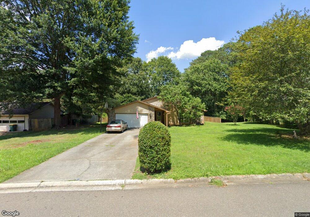
4255 Springfield Dr Unit 2 Norcross, GA 30092
Estimated Value: $430,251 - $589,000
4
Beds
2
Baths
1,676
Sq Ft
$308/Sq Ft
Est. Value
About This Home
This home is located at 4255 Springfield Dr Unit 2, Norcross, GA 30092 and is currently estimated at $516,063, approximately $307 per square foot. 4255 Springfield Dr Unit 2 is a home located in Gwinnett County with nearby schools including Simpson Elementary School, Pinckneyville Middle School, and Norcross High School.
Ownership History
Date
Name
Owned For
Owner Type
Purchase Details
Closed on
Oct 22, 1999
Sold by
Brewer Thomas H and Brewer Deborah S
Bought by
Fass David M and Fass Caroline
Current Estimated Value
Home Financials for this Owner
Home Financials are based on the most recent Mortgage that was taken out on this home.
Original Mortgage
$147,250
Outstanding Balance
$43,956
Interest Rate
7.91%
Mortgage Type
New Conventional
Estimated Equity
$472,107
Create a Home Valuation Report for This Property
The Home Valuation Report is an in-depth analysis detailing your home's value as well as a comparison with similar homes in the area
Home Values in the Area
Average Home Value in this Area
Purchase History
| Date | Buyer | Sale Price | Title Company |
|---|---|---|---|
| Fass David M | $155,000 | -- |
Source: Public Records
Mortgage History
| Date | Status | Borrower | Loan Amount |
|---|---|---|---|
| Open | Fass David M | $147,250 |
Source: Public Records
Map
Nearby Homes
- 5545 Fitzpatrick Terrace
- 4373 Fielding Ln
- 4457 Stilson Cir Unit 13
- 4266 Jones Bridge Cir
- 5630 Knox Ct
- 5221 W Jones Bridge Rd
- 5727 Shawn Terrace
- 5350 Wickershire Dr
- 4585 Southport Crossing
- 4566 Stilson Cir
- 4635 Walden Trace
- 4594 Cape Kure Ct
- 4295 Shawn Ct
- 5375 Fox Hill Dr
- 4220 Mary Ct
- 5716 Fairley Hall Ct
- 5124 Bandolino Ln Unit 323
- 4477 Watervale Way Unit 286
- 5047 Shirley Oaks Dr Unit 313
- 4923 Sudbrook Way Unit 233
- 4245 Springfield Dr Unit 2
- 4275 Springfield Dr
- 4425 Springfield Dr
- 4295 Springfield Dr
- 4235 Springfield Dr
- 4435 Springfield Dr
- 4256 Springfield Dr
- 4266 Springfield Dr Unit 2
- 4445 Springfield Dr
- 4246 Springfield Dr Unit 2
- 4415 Springfield Dr
- 4276 Springfield Dr
- 4286 Springfield Dr
- 4236 Springfield Dr
- 4455 Springfield Dr Unit 1
- 4465 Springfield Dr Unit 1
- 4315 Springfield Dr Unit 2
- 4475 Springfield Dr
- 4405 Springfield Dr Unit 1
- 5547 Patrick Ct
Your Personal Tour Guide
Ask me questions while you tour the home.