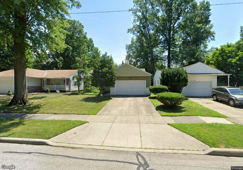
4256 Plymouth Dr South Euclid, OH 44121
Estimated Value: $171,000 - $190,000
3
Beds
2
Baths
1,360
Sq Ft
$135/Sq Ft
Est. Value
About This Home
This home is located at 4256 Plymouth Dr, South Euclid, OH 44121 and is currently estimated at $183,656, approximately $135 per square foot. 4256 Plymouth Dr is a home located in Cuyahoga County with nearby schools including Adrian Elementary School, Greenview Upper Elementary School, and Memorial Junior High School.
Ownership History
Date
Name
Owned For
Owner Type
Purchase Details
Closed on
Mar 23, 2013
Sold by
Brodsky Adam H
Bought by
Brodsky Mark H
Current Estimated Value
Purchase Details
Closed on
Feb 15, 2013
Sold by
Brodsky John F
Bought by
Brodsky Mark H
Purchase Details
Closed on
Sep 19, 2012
Sold by
Estate Of Marie S Brodsky
Bought by
Brodsky Mark H and Brosky John F
Purchase Details
Closed on
Jan 1, 1975
Bought by
Brodsky Marie S
Create a Home Valuation Report for This Property
The Home Valuation Report is an in-depth analysis detailing your home's value as well as a comparison with similar homes in the area
Home Values in the Area
Average Home Value in this Area
Purchase History
| Date | Buyer | Sale Price | Title Company |
|---|---|---|---|
| Brodsky Mark H | $25,000 | Attorney | |
| Brodsky Mark H | $25,000 | Attorney | |
| Brodsky Mark H | -- | None Available | |
| Brodsky Marie S | -- | -- |
Source: Public Records
Tax History Compared to Growth
Tax History
| Year | Tax Paid | Tax Assessment Tax Assessment Total Assessment is a certain percentage of the fair market value that is determined by local assessors to be the total taxable value of land and additions on the property. | Land | Improvement |
|---|---|---|---|---|
| 2024 | $4,050 | $52,570 | $9,520 | $43,050 |
| 2023 | $3,618 | $37,810 | $7,670 | $30,140 |
| 2022 | $3,599 | $37,800 | $7,665 | $30,135 |
| 2021 | $3,571 | $37,800 | $7,670 | $30,140 |
| 2020 | $3,341 | $30,730 | $6,230 | $24,500 |
| 2019 | $3,054 | $87,800 | $17,800 | $70,000 |
| 2018 | $3,039 | $30,730 | $6,230 | $24,500 |
| 2017 | $2,967 | $27,450 | $6,130 | $21,320 |
| 2016 | $2,949 | $27,450 | $6,130 | $21,320 |
| 2015 | $2,997 | $27,450 | $6,130 | $21,320 |
| 2014 | $2,997 | $28,880 | $6,440 | $22,440 |
Source: Public Records
Map
Nearby Homes
- 963 Chelston Rd
- 4258 Bluestone Rd
- 1114 Piermont Rd
- 1089 Argonne Rd
- 4289 Swaffield Dr
- 1129 Homestead Rd
- 1129 Avondale Rd
- 1105 Winston Rd
- 1164 S Belvoir Blvd
- 1166 Argonne Rd
- 4400 Angela Dr
- 925 Keystone Dr
- 857 Quarry Dr
- 1157 Sylvania Rd
- 1231 Winston Rd
- 4406 Elmwood Rd
- 868 Haywood Dr
- 4532 Anderson Rd
- 1148 Sylvania Rd
- 854 Keystone Dr
- 4262 Plymouth Dr
- 4250 Plymouth Dr
- 4246 Plymouth Dr
- 4253 Robert Rd
- 4249 Robert Rd
- 988 Chelston Rd
- 984 Chelston Rd
- 4242 Plymouth Dr
- 1000 Chelston Rd
- 4261 Plymouth Dr
- 4253 Plymouth Dr
- 4245 Robert Rd
- 972 Chelston Rd
- 4249 Plymouth Dr
- 4238 Plymouth Dr
- 968 Chelston Rd
- 4241 Robert Rd
- 4241 Plymouth Dr
- 4230 Plymouth Dr
- 964 Chelston Rd