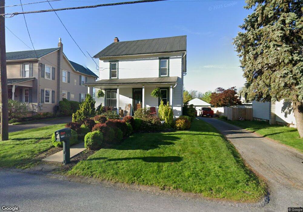
4257 Division Hwy East Earl, PA 17519
Estimated Value: $280,901 - $295,000
3
Beds
2
Baths
1,248
Sq Ft
$232/Sq Ft
Est. Value
About This Home
This home is located at 4257 Division Hwy, East Earl, PA 17519 and is currently estimated at $289,475, approximately $231 per square foot. 4257 Division Hwy is a home located in Lancaster County with nearby schools including Garden Spot Middle School, Garden Spot Senior High School, and Conestoga Parochial School.
Ownership History
Date
Name
Owned For
Owner Type
Purchase Details
Closed on
Nov 22, 2010
Sold by
Eby Darren
Bought by
Eby Darren and Eby Sara
Current Estimated Value
Home Financials for this Owner
Home Financials are based on the most recent Mortgage that was taken out on this home.
Original Mortgage
$121,119
Outstanding Balance
$79,709
Interest Rate
4.22%
Mortgage Type
Purchase Money Mortgage
Estimated Equity
$209,766
Purchase Details
Closed on
Aug 31, 2009
Sold by
Witman Gladys E Sandoe and Witman Gladys E
Bought by
Eby Darren
Create a Home Valuation Report for This Property
The Home Valuation Report is an in-depth analysis detailing your home's value as well as a comparison with similar homes in the area
Home Values in the Area
Average Home Value in this Area
Purchase History
| Date | Buyer | Sale Price | Title Company |
|---|---|---|---|
| Eby Darren | -- | None Available | |
| Eby Darren | $140,000 | None Available |
Source: Public Records
Mortgage History
| Date | Status | Borrower | Loan Amount |
|---|---|---|---|
| Open | Eby Darren | $121,119 |
Source: Public Records
Tax History Compared to Growth
Tax History
| Year | Tax Paid | Tax Assessment Tax Assessment Total Assessment is a certain percentage of the fair market value that is determined by local assessors to be the total taxable value of land and additions on the property. | Land | Improvement |
|---|---|---|---|---|
| 2025 | $2,407 | $134,400 | $45,000 | $89,400 |
| 2024 | $2,407 | $134,400 | $45,000 | $89,400 |
| 2023 | $2,372 | $134,400 | $45,000 | $89,400 |
| 2022 | $2,347 | $134,400 | $45,000 | $89,400 |
| 2021 | $2,309 | $134,400 | $45,000 | $89,400 |
| 2020 | $2,309 | $134,400 | $45,000 | $89,400 |
| 2019 | $2,284 | $134,400 | $45,000 | $89,400 |
| 2018 | $3,201 | $134,400 | $45,000 | $89,400 |
| 2017 | $1,785 | $85,700 | $21,400 | $64,300 |
| 2016 | $1,785 | $85,700 | $21,400 | $64,300 |
| 2015 | $496 | $85,700 | $21,400 | $64,300 |
| 2014 | $1,171 | $85,700 | $21,400 | $64,300 |
Source: Public Records
Map
Nearby Homes
- 1276 Martin St
- 1411 Martin St
- 1215 Shetland Cir
- 529 Ranck Rd Unit 6
- 529 Ranck Rd Unit 10
- 529 Ranck Rd Unit 9
- 529 Ranck Rd Unit 8
- 529 Ranck Rd Unit 5
- 529 Ranck Rd Unit 4
- 529 Ranck Rd Unit 3
- 529 Ranck Rd Unit 2
- 529 Ranck Rd Unit 1
- 1220 Shetland Cir
- 28 Hearth Dr
- 590 E Jackson St
- 208 Willow Ridge
- 44 Emily Ln
- 113 Windsock Way
- 13 Amber Cir
- 300 Jared Way
- 4251 Division Hwy
- 4257 Division Hwy
- 4263 Division Hwy
- 4247 Division Hwy
- 4271 Division Hwy
- 4277 Division Hwy
- 4250 Division Hwy
- 4246 Division Hwy
- 4238 Division Hwy
- 4268 Division Hwy
- 4256 Division Hwy
- 4291 Division Hwy
- 4284 Division Hwy
- 47 Granite Dr
- 45 Granite Dr
- 43 Granite Dr
- 41 Granite Dr
- 48 Granite Dr
- 39 Granite Dr
- 37 Granite Dr