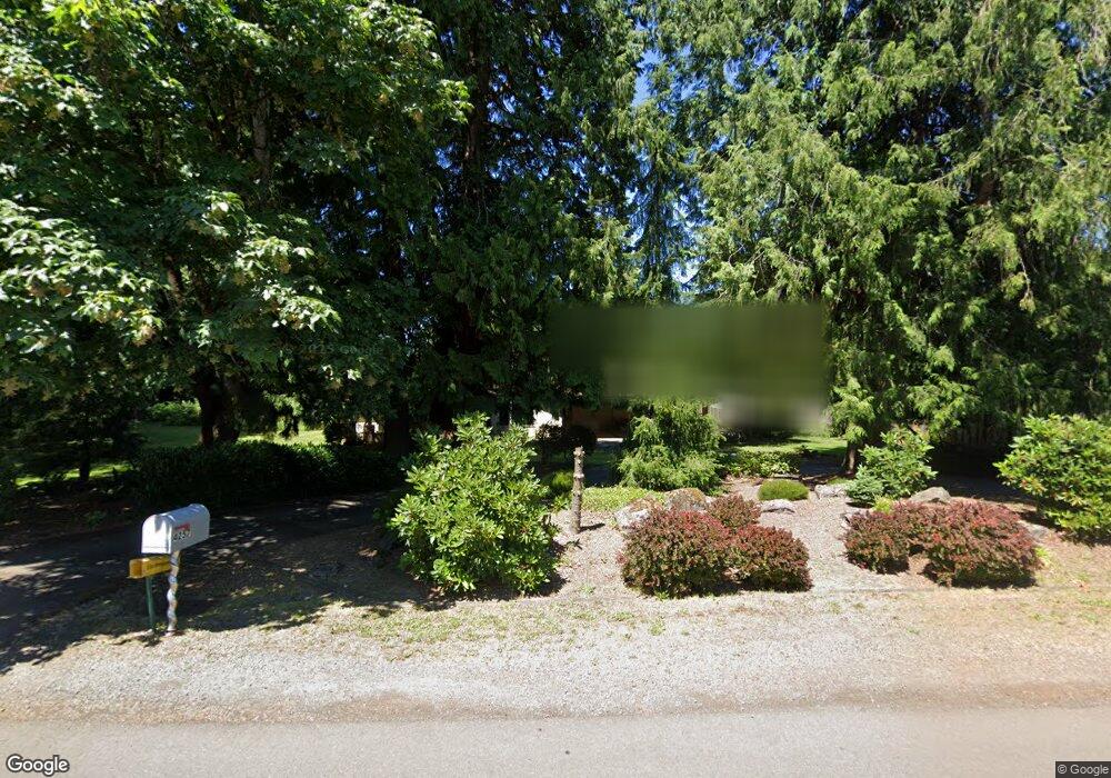
4257 Kenthorpe Way West Linn, OR 97068
Robinwood NeighborhoodEstimated Value: $838,956 - $948,000
4
Beds
2
Baths
2,851
Sq Ft
$313/Sq Ft
Est. Value
About This Home
This home is located at 4257 Kenthorpe Way, West Linn, OR 97068 and is currently estimated at $891,989, approximately $312 per square foot. 4257 Kenthorpe Way is a home located in Clackamas County with nearby schools including Cedaroak Park Primary School, West Linn High School, and Clackamas Academy of Industrial Sciences (CAIS).
Ownership History
Date
Name
Owned For
Owner Type
Purchase Details
Closed on
Nov 15, 2024
Sold by
King Lamont A and King Denise L
Bought by
King Family Trust and King
Current Estimated Value
Purchase Details
Closed on
Apr 1, 1992
Bought by
King Lamont A
Create a Home Valuation Report for This Property
The Home Valuation Report is an in-depth analysis detailing your home's value as well as a comparison with similar homes in the area
Home Values in the Area
Average Home Value in this Area
Purchase History
| Date | Buyer | Sale Price | Title Company |
|---|---|---|---|
| King Family Trust | -- | None Listed On Document | |
| King Family Trust | -- | None Listed On Document | |
| King Lamont A | $64,000 | -- |
Source: Public Records
Tax History Compared to Growth
Tax History
| Year | Tax Paid | Tax Assessment Tax Assessment Total Assessment is a certain percentage of the fair market value that is determined by local assessors to be the total taxable value of land and additions on the property. | Land | Improvement |
|---|---|---|---|---|
| 2025 | $8,124 | $421,527 | -- | -- |
| 2024 | $7,819 | $409,250 | -- | -- |
| 2023 | $7,819 | $397,331 | $0 | $0 |
| 2022 | $7,381 | $385,759 | $0 | $0 |
| 2021 | $7,006 | $374,524 | $0 | $0 |
| 2020 | $7,054 | $363,616 | $0 | $0 |
| 2019 | $6,727 | $353,026 | $0 | $0 |
| 2018 | $6,426 | $342,744 | $0 | $0 |
| 2017 | $6,177 | $332,761 | $0 | $0 |
| 2016 | $6,017 | $323,069 | $0 | $0 |
| 2015 | $5,814 | $313,659 | $0 | $0 |
| 2014 | $5,495 | $304,523 | $0 | $0 |
Source: Public Records
Map
Nearby Homes
- 3896 Cedaroak Dr
- 4610 Kenthorpe Way
- 3893 Cedaroak Dr
- 19155 Nixon Ave
- 3820 Kenthorpe Way
- 4622 Mapleton Dr
- 19885 Willamette Dr
- 3910 Calaroga Cir
- 4400 Calaroga Dr
- 19623 White Cloud Cir
- 3777 Parkwood Way
- 20070 Larkspur Ln Unit 61
- 18236 SE Heather Faye Way
- 20080 Larkspur Ln Unit 50
- 18711 Willamette Dr
- 19788 Wildwood Dr
- 20120 Larkspur Ln Unit 85
- 19770 Wildwood Dr
- 4024 SE Faith Ave
- 19775 Wildwood Dr
- 4285 Kenthorpe Way
- 4185 Kenthorpe Way
- 4307 Kenthorpe Way
- 4194 Cedaroak Dr
- 4206 Cedaroak Dr
- 4145 Kenthorpe Way
- 4142 Cedaroak Dr
- 4351 Kenthorpe Way
- 4220 Terra Vista Ct
- 4107 Kenthorpe Way
- 4160 Kenthorpe Way
- 4084 Cedaroak Dr
- 4399 Kenthorpe Way
- 4230 Terra Vista Ct
- 4095 Kenthorpe Way
- 4100 Kenthorpe Way
- 4064 Cedaroak Dr
- 4087 Kenthorpe Way
- 4405 Kenthorpe Way
- 4299 Terra Vista Ct