42571 Yokum Rd Ponchatoula, LA 70454
Estimated Value: $338,000 - $513,000
--
Bed
--
Bath
3,983
Sq Ft
$104/Sq Ft
Est. Value
About This Home
This home is located at 42571 Yokum Rd, Ponchatoula, LA 70454 and is currently estimated at $415,048, approximately $104 per square foot. 42571 Yokum Rd is a home located in Tangipahoa Parish with nearby schools including Perrin Early Learning Center, D.C. Reeves Elementary School, and Tucker Memorial Elementary School.
Ownership History
Date
Name
Owned For
Owner Type
Purchase Details
Closed on
Mar 13, 2007
Sold by
Cleary John Welsh and Cleary Sally Newhart
Bought by
Burns David R and Barbara Ann Burns Revocable Living Trust
Current Estimated Value
Purchase Details
Closed on
May 31, 2006
Sold by
Gtannobile James Pattick and Gtannobile Jaydeen Courouleau
Bought by
Cleary Sally Newhart and Cleary John Welsh
Home Financials for this Owner
Home Financials are based on the most recent Mortgage that was taken out on this home.
Original Mortgage
$305,000
Interest Rate
6.5%
Mortgage Type
Future Advance Clause Open End Mortgage
Create a Home Valuation Report for This Property
The Home Valuation Report is an in-depth analysis detailing your home's value as well as a comparison with similar homes in the area
Home Values in the Area
Average Home Value in this Area
Purchase History
| Date | Buyer | Sale Price | Title Company |
|---|---|---|---|
| Burns David R | -- | None Available | |
| Cleary Sally Newhart | $305,000 | Northshore Title |
Source: Public Records
Mortgage History
| Date | Status | Borrower | Loan Amount |
|---|---|---|---|
| Previous Owner | Cleary Sally Newhart | $305,000 |
Source: Public Records
Tax History Compared to Growth
Tax History
| Year | Tax Paid | Tax Assessment Tax Assessment Total Assessment is a certain percentage of the fair market value that is determined by local assessors to be the total taxable value of land and additions on the property. | Land | Improvement |
|---|---|---|---|---|
| 2024 | $2,830 | $27,932 | $7,355 | $20,577 |
| 2023 | $2,796 | $27,386 | $6,810 | $20,576 |
| 2022 | $2,796 | $27,386 | $6,810 | $20,576 |
| 2021 | $2,036 | $27,386 | $6,810 | $20,576 |
| 2020 | $2,713 | $27,386 | $6,810 | $20,576 |
| 2019 | $2,706 | $27,386 | $6,810 | $20,576 |
| 2018 | $2,714 | $27,386 | $6,810 | $20,576 |
| 2017 | $2,714 | $27,386 | $6,810 | $20,576 |
| 2016 | $2,796 | $27,386 | $6,810 | $20,576 |
| 2015 | $2,170 | $28,740 | $6,810 | $21,930 |
| 2014 | $2,042 | $28,740 | $6,810 | $21,930 |
Source: Public Records
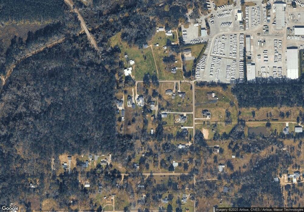
Map
Nearby Homes
- 17327 Timberlane Dr
- 17379 Oak Hollow Dr
- 43126 Pecan Ridge Dr
- 43153 N Little Italy Rd
- 42548 S Range Rd
- 42174 Penrose St
- 7.55ACRES E Club Deluxe Rd
- 42185 Penrose St
- 16201 Stellar Ln
- 16185 Stellar Ln
- 43232 S Range Rd
- 16169 Stellar Ln
- 16157 Stellar Ln
- Lot 5-A E Pleasant Ridge Rd
- 933 Lob Lolly Ct
- 42145 Garden Dr
- 42170 Veterans Ave
- 16195 E Minnesota Park Rd
- 847 White Pine Dr
- 43448 Springwood Way
- 42571 Yokum Rd
- 42601 Yokum Rd
- 42557 Yokum Rd
- 42607 Yokum Rd
- 42513 Yokum Rd
- 42613 Yokum Rd
- 42493 Yokum Rd
- 42473 Yokum Rd
- 42556 Yokum Rd
- 42602 Yokum Rd
- 0 Hoover Walker Rd Unit 994872
- 0 Hoover Walker Rd Unit 995409
- 42455 Yokum Rd
- 42502 Yokum Rd
- 0 Walker Rd Unit 2008194263
- 0 Walker Rd Unit 749366
- 17333 Thunder Road Ln
- 42514 Yokum Rd
- 42443 Yokum Rd
- 42474 Yokum Rd