4258 Blair Ln Harwood, MD 20776
Harwood NeighborhoodEstimated Value: $716,000 - $1,562,000
--
Bed
2
Baths
2,764
Sq Ft
$440/Sq Ft
Est. Value
About This Home
This home is located at 4258 Blair Ln, Harwood, MD 20776 and is currently estimated at $1,216,739, approximately $440 per square foot. 4258 Blair Ln is a home located in Anne Arundel County with nearby schools including Lothian Elementary School, Southern Middle School, and Southern High School.
Ownership History
Date
Name
Owned For
Owner Type
Purchase Details
Closed on
Jul 15, 2024
Sold by
Maloy Paige E and Blair Robert W
Bought by
Going Kristin and Lonegro Christopher
Current Estimated Value
Home Financials for this Owner
Home Financials are based on the most recent Mortgage that was taken out on this home.
Original Mortgage
$712,000
Outstanding Balance
$703,298
Interest Rate
6.87%
Mortgage Type
New Conventional
Estimated Equity
$513,441
Purchase Details
Closed on
Jan 12, 2005
Sold by
Weston Assocs
Bought by
Blair Robert W and Blair Paige E
Create a Home Valuation Report for This Property
The Home Valuation Report is an in-depth analysis detailing your home's value as well as a comparison with similar homes in the area
Home Values in the Area
Average Home Value in this Area
Purchase History
| Date | Buyer | Sale Price | Title Company |
|---|---|---|---|
| Going Kristin | $1,250,000 | Sage Title | |
| Blair Robert W | $1,500,000 | -- |
Source: Public Records
Mortgage History
| Date | Status | Borrower | Loan Amount |
|---|---|---|---|
| Open | Going Kristin | $712,000 |
Source: Public Records
Tax History Compared to Growth
Tax History
| Year | Tax Paid | Tax Assessment Tax Assessment Total Assessment is a certain percentage of the fair market value that is determined by local assessors to be the total taxable value of land and additions on the property. | Land | Improvement |
|---|---|---|---|---|
| 2025 | $8,041 | $702,433 | -- | -- |
| 2024 | $8,041 | $673,967 | $0 | $0 |
| 2023 | $7,049 | $645,500 | $391,300 | $254,200 |
| 2022 | $7,197 | $633,267 | $0 | $0 |
| 2021 | $7,069 | $621,033 | $0 | $0 |
| 2020 | $6,905 | $608,800 | $371,100 | $237,700 |
| 2019 | $5,592 | $552,800 | $0 | $0 |
| 2018 | $5,038 | $496,800 | $0 | $0 |
| 2017 | $5,020 | $440,800 | $0 | $0 |
| 2016 | -- | $440,600 | $0 | $0 |
| 2015 | -- | $440,400 | $0 | $0 |
| 2014 | -- | $440,200 | $0 | $0 |
Source: Public Records
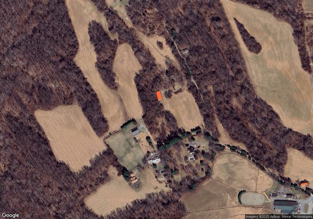
Map
Nearby Homes
- 4320 Solomons Island Rd
- 21 Treiber Ln
- 812 Richardson Dr
- 204 Three Rivers Rd
- 3508 Marthas Vineyard Way
- 3451 Blandford Way
- 3886 Greenmeadow Ln
- 13 Jessie Rd
- 3410 Blandford Way
- 3509 Russell Thomas Ln
- 114 Jordan Taylor Ln
- 385 Mill Swamp Rd
- 4440 Claybrooke Dr
- 873 Benjamin Branch
- 3501 Foxhall Dr
- 201 Biggs Purchase Ln
- 131 Brick Church Rd
- 1008 W Central Ave
- 3514 Williamsburg Rd
- 9 Solitude Ct
- 209 Weston Farm Rd
- 201 Weston Farm Rd
- 205 Weston Farm Rd
- 203 Weston Farm Rd
- 207 Weston Farm Rd
- 4252 Blair Ln
- 195 Weston Farm Rd
- 4300 Solomons Island Rd
- 4254 Blair Ln
- 4378 Solomons Island Rd
- 4378 Solomons Island Rd Unit 1
- 190 Weston Farm Rd
- 4246 Solomons Island Rd
- 302 Harwood Rd
- 232 Harwood Rd
- 0 Solomons Island Rd Unit AA7687680
- 4247 Solomons Island Rd
- 248 Harwood Rd
- 0 Harwood Rd Unit 1007612318
- 0 Harwood Rd Unit 1007573412