Estimated Value: $457,000 - $543,000
--
Bed
--
Bath
--
Sq Ft
0.42
Acres
About This Home
This home is located at 4258 N Gold Dust Trail Unit 6, Enoch, UT 84721 and is currently estimated at $514,447. 4258 N Gold Dust Trail Unit 6 is a home located in Iron County with nearby schools including Enoch School, Cedar Middle School, and Cedar City High School.
Ownership History
Date
Name
Owned For
Owner Type
Purchase Details
Closed on
Aug 6, 2021
Sold by
Dalffenried Development Llc
Bought by
Mawson Brian E and Mawson Sunny R
Current Estimated Value
Home Financials for this Owner
Home Financials are based on the most recent Mortgage that was taken out on this home.
Original Mortgage
$195,000
Outstanding Balance
$176,932
Interest Rate
2.9%
Mortgage Type
VA
Estimated Equity
$337,515
Purchase Details
Closed on
Jul 19, 2021
Sold by
Dalffenried Development Llc
Bought by
Mawson Brian E and Mawson Sunny R
Home Financials for this Owner
Home Financials are based on the most recent Mortgage that was taken out on this home.
Original Mortgage
$195,000
Outstanding Balance
$176,932
Interest Rate
2.9%
Mortgage Type
VA
Estimated Equity
$337,515
Purchase Details
Closed on
Dec 19, 2020
Sold by
The Dixie And Anne Leavitt Foundation
Bought by
Dalffenried Development Llc
Create a Home Valuation Report for This Property
The Home Valuation Report is an in-depth analysis detailing your home's value as well as a comparison with similar homes in the area
Home Values in the Area
Average Home Value in this Area
Purchase History
| Date | Buyer | Sale Price | Title Company |
|---|---|---|---|
| Mawson Brian E | -- | Provo Land Title | |
| Mawson Brian E | -- | None Listed On Document | |
| Dalffenried Development Llc | -- | None Available |
Source: Public Records
Mortgage History
| Date | Status | Borrower | Loan Amount |
|---|---|---|---|
| Open | Mawson Brian E | $195,000 |
Source: Public Records
Tax History Compared to Growth
Tax History
| Year | Tax Paid | Tax Assessment Tax Assessment Total Assessment is a certain percentage of the fair market value that is determined by local assessors to be the total taxable value of land and additions on the property. | Land | Improvement |
|---|---|---|---|---|
| 2025 | $2,033 | $278,488 | $45,650 | $232,838 |
| 2023 | $2,013 | $268,315 | $40,865 | $227,450 |
| 2022 | $2,102 | $245,690 | $38,920 | $206,770 |
| 2021 | $356 | $41,625 | $41,625 | $0 |
Source: Public Records
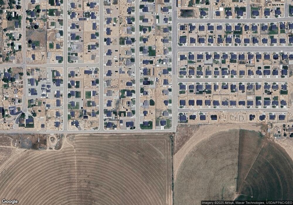
Map
Nearby Homes
- 1021 E 4290 N Unit (Lot 2 Phs 4 Settler
- 1068 4240 N Unit (Lot 46 Phs 4 Settle
- 1082 4240 N Unit (Lot 45 Phs 4 Settle
- 1094 4240 N Unit (Lot 44 Phs 4 Settle
- 4793 N Utah Trail
- 7 Acre Ft 1963 Priority Date
- 4355 N Maple Ln
- 4509 N Gold Dust Trail St
- 723 E Rose Ln
- 1271 E Southern Homestead Blvd
- 4510 Quickdraw Ln
- 4511 Marshal Trail
- 4975 N Tomahawk Dr
- 4211 N Tomahawk Dr Unit Lot 11 Sunview Estat
- 5203 N Tomahawk Dr
- 4228 N Tomahawk Dr Unit Lot 7 Sunview Estate
- 4258 N Gold Dust Trail
- 4258 N Gold Dust Trail Unit 128
- 4258 N Gold Dust Trail St
- 4276 N Gold Dust Trail St Unit 6
- 4276 N Gold Dust Trail St
- 4240 N Gold Dust Trail Unit 6
- 4240 N Gold Dust Trail
- 4240 N Gold Dust Trail St
- 4255 N Gold Dust Trail St Unit 6
- 4255 N Gold Dust Trail St
- 4288 N Gold Dust Trail
- 4255 N Gold Dust Trail
- 4275 N Gold Dust Trail
- 4218 N Gold Dust Trail St
- 4237 N Gold Dust Trail
- 4213 N Gold Dust Trail St Unit 6
- 4213 N Gold Dust Trail St
- 4285 N Gold Dust Trail St Unit 6
- 4285 N Gold Dust Trail St
- 4213 N Gold Dust Trail Unit 125