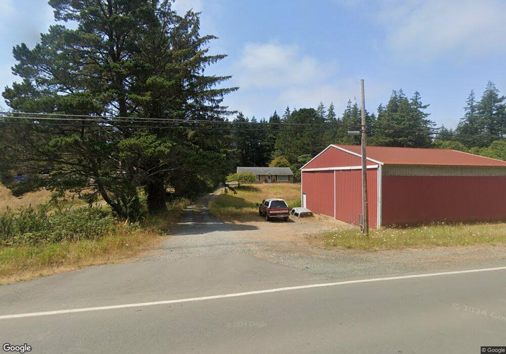
42592 Port Orford Loop Rd Port Orford, OR 97465
Estimated Value: $370,511 - $434,000
3
Beds
1
Bath
1,334
Sq Ft
$302/Sq Ft
Est. Value
About This Home
This home is located at 42592 Port Orford Loop Rd, Port Orford, OR 97465 and is currently estimated at $402,256, approximately $301 per square foot. 42592 Port Orford Loop Rd is a home located in Curry County with nearby schools including Driftwood Elementary School and Pacific High School.
Ownership History
Date
Name
Owned For
Owner Type
Purchase Details
Closed on
May 18, 2023
Sold by
Tennant Carl E
Bought by
Carl And Peggy Tennant Family Trust
Current Estimated Value
Purchase Details
Closed on
Jun 12, 2012
Sold by
Phillips Patrick W and Phillips Christina E
Bought by
Tennant Carl E and Tennant Peggy L
Home Financials for this Owner
Home Financials are based on the most recent Mortgage that was taken out on this home.
Original Mortgage
$104,000
Interest Rate
3.79%
Mortgage Type
New Conventional
Create a Home Valuation Report for This Property
The Home Valuation Report is an in-depth analysis detailing your home's value as well as a comparison with similar homes in the area
Home Values in the Area
Average Home Value in this Area
Purchase History
| Date | Buyer | Sale Price | Title Company |
|---|---|---|---|
| Carl And Peggy Tennant Family Trust | -- | None Listed On Document | |
| Tennant Carl E | $130,000 | Curry County Title Inc |
Source: Public Records
Mortgage History
| Date | Status | Borrower | Loan Amount |
|---|---|---|---|
| Previous Owner | Tennant Carl E | $104,000 |
Source: Public Records
Tax History Compared to Growth
Tax History
| Year | Tax Paid | Tax Assessment Tax Assessment Total Assessment is a certain percentage of the fair market value that is determined by local assessors to be the total taxable value of land and additions on the property. | Land | Improvement |
|---|---|---|---|---|
| 2025 | $1,525 | $165,830 | -- | -- |
| 2024 | $1,483 | $161,000 | -- | -- |
| 2023 | $1,443 | $156,320 | $0 | $0 |
| 2022 | $1,404 | $151,770 | $0 | $0 |
| 2021 | $1,367 | $147,350 | $0 | $0 |
| 2020 | $1,330 | $143,060 | $0 | $0 |
| 2019 | $1,354 | $138,900 | $0 | $0 |
| 2018 | $1,316 | $134,860 | $0 | $0 |
| 2017 | $1,288 | $134,860 | $0 | $0 |
| 2016 | $1,254 | $130,940 | $0 | $0 |
| 2015 | $1,111 | $127,130 | $0 | $0 |
| 2014 | $1,111 | $119,840 | $0 | $0 |
Source: Public Records
Map
Nearby Homes
- 0 Averill Hill Rd Unit 705339825
- 0 Orchard Rd Unit Lot 3 253777191
- 0 U S 101 Unit 23075533
- 2605 Port Orford Loop Rd
- 2537 Port Orford Loop Rd
- 0 Hwy 101
- 2420 Jefferson St
- 0 Kreiger Ln Unit 123 24545489
- 0 Kreiger Ln Unit 122 24581015
- 2433 Arizona St
- 0 Cedar Hollow Rd Unit 2107 427140236
- 0 Jefferson St Unit Lot 1&6 391642538
- 654 Madrona Ave
- 0 Vista St Unit 23631922
- 30 Geer Cir
- 0 Vista Dr Unit 1100 294052713
- 42836 Hensley Hill Rd
- 4 Vista Dr
- 636 18th St
- 1634 Idaho St
- 42610 Port Orford Loop Rd
- 42588 Port Orford Loop Rd
- 42613 Port Orford Loop Rd
- 42611 Port Orford Loop Rd
- 42566 Port Orford Loop Rd
- 42619 Port Orford Loop Rd
- 42575 Port Orford Loop Rd
- 42672 Rhody Ln
- 42549 Port Orford Loop Rd
- 42646 Port Orford Loop Rd
- 42625 Port Orford Loop Rd
- 92840 Mill Pond Rd
- 42677 Rhody Ln
- 92844 Averill Hill Rd
- 42645 Rhody Ln
- 42684 Rhody Ln
- 42695 Rhody Ln
- 92800 Mill Pond Rd
- 92872 Averill Hill Rd
- 42516 Port Orford Loop Rd