426 4th St Chestnut Ridge, PA 15422
Redstone Township NeighborhoodEstimated Value: $23,000 - $174,000
2
Beds
1
Bath
1,076
Sq Ft
$92/Sq Ft
Est. Value
About This Home
This home is located at 426 4th St, Chestnut Ridge, PA 15422 and is currently estimated at $98,500, approximately $91 per square foot. 426 4th St is a home with nearby schools including Brownsville Area Elementary School, Brownsville Area Middle School, and Brownsville Area High School.
Ownership History
Date
Name
Owned For
Owner Type
Purchase Details
Closed on
Nov 12, 2020
Sold by
Leasure James
Bought by
Cetera Michael T and Cetera Bobbie Jo
Current Estimated Value
Purchase Details
Closed on
Feb 26, 2018
Sold by
Sanner Betty
Bought by
Leasure James
Purchase Details
Closed on
Jun 13, 2013
Sold by
Murphy Rex O and Murphy Heather D
Bought by
Leasure James and Sanner Betty
Purchase Details
Closed on
Jun 29, 2010
Sold by
Fayette County Tax Claim Bureau
Bought by
Murphy Rex O and Murphy Heather D
Create a Home Valuation Report for This Property
The Home Valuation Report is an in-depth analysis detailing your home's value as well as a comparison with similar homes in the area
Home Values in the Area
Average Home Value in this Area
Purchase History
| Date | Buyer | Sale Price | Title Company |
|---|---|---|---|
| Cetera Michael T | $3,000 | None Available | |
| Leasure James | $2,000 | None Available | |
| Leasure James | $18,000 | None Available | |
| Murphy Rex O | $700 | None Available |
Source: Public Records
Tax History Compared to Growth
Tax History
| Year | Tax Paid | Tax Assessment Tax Assessment Total Assessment is a certain percentage of the fair market value that is determined by local assessors to be the total taxable value of land and additions on the property. | Land | Improvement |
|---|---|---|---|---|
| 2025 | $49 | $1,785 | $1,785 | $0 |
| 2024 | $49 | $1,785 | $1,785 | $0 |
| 2023 | $98 | $1,785 | $1,785 | $0 |
| 2022 | $98 | $1,785 | $1,785 | $0 |
| 2021 | $608 | $11,460 | $2,975 | $8,485 |
| 2020 | $607 | $11,460 | $2,975 | $8,485 |
| 2019 | $573 | $11,460 | $2,975 | $8,485 |
| 2018 | $573 | $11,460 | $2,975 | $8,485 |
| 2017 | $560 | $11,460 | $2,975 | $8,485 |
| 2016 | -- | $11,460 | $2,975 | $8,485 |
| 2015 | -- | $11,460 | $2,975 | $8,485 |
| 2014 | -- | $22,920 | $5,950 | $16,970 |
Source: Public Records
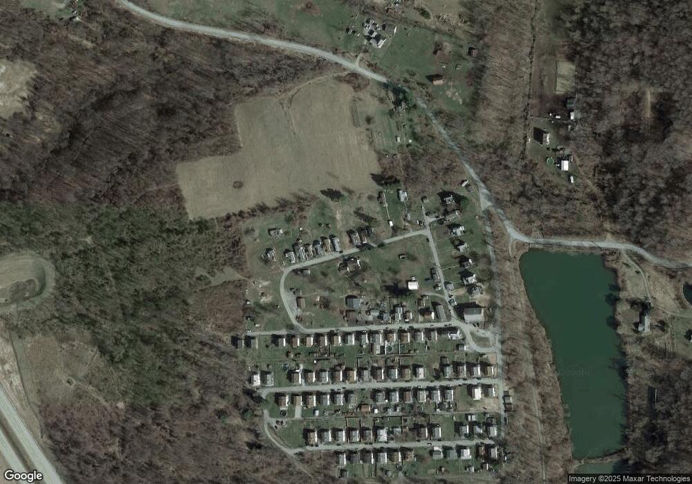
Map
Nearby Homes
- 419 2nd St
- 810 Pleasant View Smock Rd
- 6101-6105 National Pike E
- 1161 1st St
- 2524 2nd St
- 100 Shaffer Ave
- 743 Old Route 51 Rd
- TBD Grindstone Rd
- 120 E 1st St
- 390 Snuff Ridge Rd
- 107 Madison St
- 102 E 2nd St
- 125 Spinuzza Ln
- 1126 Jenkins St
- 130 Alpine Ln
- 507 Old Route 51 Rd
- 300 Stone Church Rd
- 653 Upper Middletown Rd
- 2014 5th St
- 309 Shagbark Rd