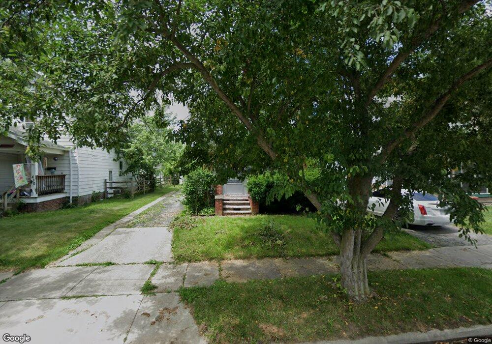
426 Bender Dr Toledo, OH 43609
Southside NeighborhoodEstimated Value: $64,000 - $100,000
3
Beds
2
Baths
1,211
Sq Ft
$70/Sq Ft
Est. Value
About This Home
This home is located at 426 Bender Dr, Toledo, OH 43609 and is currently estimated at $84,854, approximately $70 per square foot. 426 Bender Dr is a home located in Lucas County with nearby schools including Burroughs Elementary School, Bowsher High School, and Explorers Academy of Science and Technology.
Ownership History
Date
Name
Owned For
Owner Type
Purchase Details
Closed on
Apr 18, 2023
Sold by
Zirn David R and Zirn Sheryl
Bought by
Welch Michael J
Current Estimated Value
Purchase Details
Closed on
May 4, 2001
Sold by
Melissa Rowland
Bought by
Zirn David R
Home Financials for this Owner
Home Financials are based on the most recent Mortgage that was taken out on this home.
Original Mortgage
$79,300
Interest Rate
6.95%
Purchase Details
Closed on
Sep 24, 1999
Sold by
Stokes James D and Stokes Julie J
Bought by
Rowland Melissa
Home Financials for this Owner
Home Financials are based on the most recent Mortgage that was taken out on this home.
Original Mortgage
$61,600
Interest Rate
7.93%
Create a Home Valuation Report for This Property
The Home Valuation Report is an in-depth analysis detailing your home's value as well as a comparison with similar homes in the area
Home Values in the Area
Average Home Value in this Area
Purchase History
| Date | Buyer | Sale Price | Title Company |
|---|---|---|---|
| Welch Michael J | $52,500 | None Listed On Document | |
| Zirn David R | $83,500 | Midland | |
| Rowland Melissa | $72,500 | Louisville Title Agency For |
Source: Public Records
Mortgage History
| Date | Status | Borrower | Loan Amount |
|---|---|---|---|
| Previous Owner | Zirn David R | $79,300 | |
| Previous Owner | Rowland Melissa | $61,600 |
Source: Public Records
Tax History
| Year | Tax Paid | Tax Assessment Tax Assessment Total Assessment is a certain percentage of the fair market value that is determined by local assessors to be the total taxable value of land and additions on the property. | Land | Improvement |
|---|---|---|---|---|
| 2025 | -- | $25,410 | $4,690 | $20,720 |
| 2024 | $786 | $25,410 | $4,690 | $20,720 |
| 2023 | $1,298 | $19,880 | $4,200 | $15,680 |
| 2022 | $1,303 | $19,880 | $4,200 | $15,680 |
| 2021 | $1,333 | $19,880 | $4,200 | $15,680 |
| 2020 | $1,364 | $17,955 | $3,885 | $14,070 |
| 2019 | $1,324 | $17,955 | $3,885 | $14,070 |
| 2018 | $1,331 | $17,955 | $3,885 | $14,070 |
| 2017 | $1,394 | $17,990 | $3,045 | $14,945 |
| 2016 | $1,396 | $51,400 | $8,700 | $42,700 |
| 2015 | $1,384 | $51,400 | $8,700 | $42,700 |
| 2014 | $1,132 | $18,000 | $3,050 | $14,950 |
| 2013 | $1,132 | $18,000 | $3,050 | $14,950 |
Source: Public Records
Map
Nearby Homes
- 2335 Airport Hwy
- 139 Kenmore Ave
- 333 Danberry St
- 518 Colima Dr
- 415 Mayberry St
- 2121 Airport Hwy
- 518 Myers St
- 2052 South Ave
- 702 Colima Dr
- 2019 South Ave
- 2010 Airport Hwy
- 511 S Detroit Ave
- 1936 Airport Hwy
- 769 Colima Dr
- 337 S Detroit Ave
- 2837 Airport Hwy
- 142 S Detroit Ave
- 1836 Finch St
- 131 S Detroit Ave
- 336 Conrad Ave
Your Personal Tour Guide
Ask me questions while you tour the home.