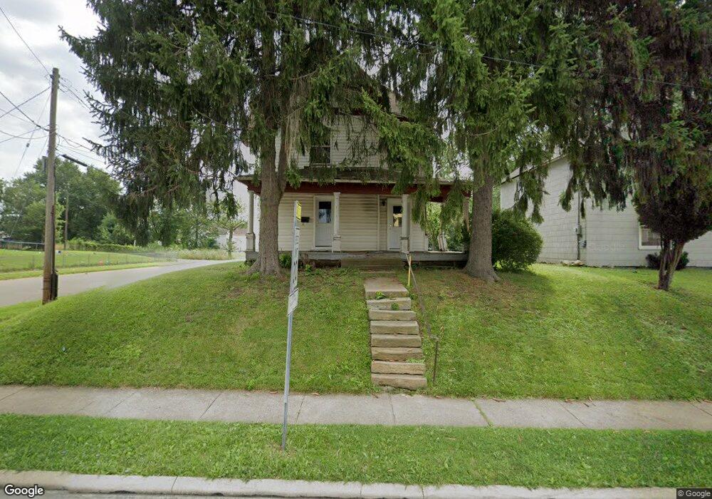
426 Bowman St Unit 4261/2 Mansfield, OH 44903
Estimated Value: $86,000 - $159,000
6
Beds
2
Baths
2,474
Sq Ft
$45/Sq Ft
Est. Value
About This Home
This home is located at 426 Bowman St Unit 4261/2, Mansfield, OH 44903 and is currently estimated at $110,828, approximately $44 per square foot. 426 Bowman St Unit 4261/2 is a home located in Richland County with nearby schools including Goal Digital Academy, St. Peter's Elementary/Montessori School, and St. Peter's High School/Junior High.
Ownership History
Date
Name
Owned For
Owner Type
Purchase Details
Closed on
Jul 28, 2015
Sold by
Richland County Land Reutilization Corpo
Bought by
Umadaop Mansfield
Current Estimated Value
Purchase Details
Closed on
Jul 10, 2015
Sold by
State Of Ohio
Bought by
Richland County Land Reutilization Corpo
Purchase Details
Closed on
Aug 1, 1997
Sold by
S S Real Estate Investme
Bought by
Tate Geron L and Tate Vivian P
Purchase Details
Closed on
Dec 10, 1996
Sold by
Willacker Shane K
Bought by
Ss Real Estate Investments Ltd
Purchase Details
Closed on
Jun 15, 1993
Sold by
Etzwiler Ronald
Bought by
Elliott Richard J
Purchase Details
Closed on
Dec 1, 1985
Create a Home Valuation Report for This Property
The Home Valuation Report is an in-depth analysis detailing your home's value as well as a comparison with similar homes in the area
Home Values in the Area
Average Home Value in this Area
Purchase History
| Date | Buyer | Sale Price | Title Company |
|---|---|---|---|
| Umadaop Mansfield | -- | None Available | |
| Richland County Land Reutilization Corpo | -- | None Available | |
| Tate Geron L | $8,800 | -- | |
| Ss Real Estate Investments Ltd | $5,300 | -- | |
| Elliott Richard J | -- | -- | |
| -- | $2,800 | -- |
Source: Public Records
Tax History Compared to Growth
Tax History
| Year | Tax Paid | Tax Assessment Tax Assessment Total Assessment is a certain percentage of the fair market value that is determined by local assessors to be the total taxable value of land and additions on the property. | Land | Improvement |
|---|---|---|---|---|
| 2024 | $1,086 | $21,610 | $1,450 | $20,160 |
| 2023 | $1,035 | $21,610 | $1,450 | $20,160 |
| 2022 | $929 | $16,270 | $1,320 | $14,950 |
| 2021 | $936 | $16,270 | $1,320 | $14,950 |
| 2020 | $957 | $16,270 | $1,320 | $14,950 |
| 2019 | $1,061 | $16,270 | $1,320 | $14,950 |
| 2018 | $1,047 | $16,270 | $1,320 | $14,950 |
| 2017 | $1,035 | $16,270 | $1,320 | $14,950 |
| 2016 | $1,051 | $16,270 | $2,090 | $14,180 |
| 2015 | $1,003 | $16,270 | $2,090 | $14,180 |
| 2014 | $990 | $16,270 | $2,090 | $14,180 |
| 2012 | $798 | $17,110 | $2,190 | $14,920 |
Source: Public Records
Map
Nearby Homes
- 156 Buckingham Ave Unit 158
- 371 Bell St
- 526 Bowman St
- 0 Voegele Ave Unit Lot 6048, 6049, 6
- 452 Daisy St
- 283 Bulkley Ave
- 426 Mcpherson St
- 362-364 W 6th St
- 282 W 5th St
- 219 W 5th St
- 169 W 5th St
- 743 Bowman St
- 512 Burns St
- 0 Highway 30
- 406 Sherman Place
- 237 Helen Ave
- 120 Gettings Place
- 346 Newman St
- 269 Parkway Dr
- 0 State Route 314 Unit 9067316
- 416 Bowman St
- 430 Bowman St
- 203 Buckingham Ave Unit 205
- 410 Bowman St
- 200 Buckingham Ave Unit 202
- 444 Bowman St
- 423 Bowman St
- 197 Buckingham Ave
- 406 Bowman St
- 419 Bowman St
- 448 Bowman St
- 413 Bowman St
- 196 Buckingham Ave
- 187 Buckingham Ave
- 204 Vale Ave
- 194 Buckingham Ave
- 196 Vale Ave
- 192 Buckingham Ave
- 192 Vale Ave
- 186 Buckingham Ave