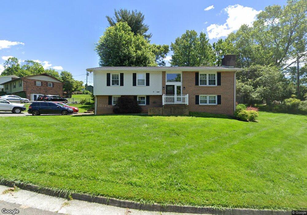
426 Brookhill Dr Unit 9311 Abingdon, VA 24210
Estimated Value: $337,000 - $393,000
4
Beds
3
Baths
2,653
Sq Ft
$134/Sq Ft
Est. Value
About This Home
This home is located at 426 Brookhill Dr Unit 9311, Abingdon, VA 24210 and is currently estimated at $356,194, approximately $134 per square foot. 426 Brookhill Dr Unit 9311 is a home located in Washington County with nearby schools including Greendale Elementary School, E.B. Stanley Middle School, and Abingdon High School.
Ownership History
Date
Name
Owned For
Owner Type
Purchase Details
Closed on
Apr 29, 2021
Sold by
Weddle Lisa N
Bought by
Snead Timothy and Snead Sara
Current Estimated Value
Home Financials for this Owner
Home Financials are based on the most recent Mortgage that was taken out on this home.
Original Mortgage
$191,919
Outstanding Balance
$173,655
Interest Rate
3%
Mortgage Type
New Conventional
Estimated Equity
$182,539
Create a Home Valuation Report for This Property
The Home Valuation Report is an in-depth analysis detailing your home's value as well as a comparison with similar homes in the area
Home Values in the Area
Average Home Value in this Area
Purchase History
| Date | Buyer | Sale Price | Title Company |
|---|---|---|---|
| Snead Timothy | $190,000 | Attorney |
Source: Public Records
Mortgage History
| Date | Status | Borrower | Loan Amount |
|---|---|---|---|
| Open | Snead Timothy | $191,919 |
Source: Public Records
Tax History Compared to Growth
Tax History
| Year | Tax Paid | Tax Assessment Tax Assessment Total Assessment is a certain percentage of the fair market value that is determined by local assessors to be the total taxable value of land and additions on the property. | Land | Improvement |
|---|---|---|---|---|
| 2025 | $1,234 | $292,100 | $35,000 | $257,100 |
| 2024 | $1,234 | $205,700 | $35,000 | $170,700 |
| 2023 | $1,234 | $205,700 | $35,000 | $170,700 |
| 2022 | $1,234 | $205,700 | $35,000 | $170,700 |
| 2021 | $1,234 | $205,700 | $35,000 | $170,700 |
| 2020 | $1,083 | $171,900 | $35,000 | $136,900 |
| 2019 | $1,083 | $171,900 | $35,000 | $136,900 |
| 2018 | $1,083 | $171,900 | $35,000 | $136,900 |
| 2017 | $1,083 | $171,900 | $35,000 | $136,900 |
| 2016 | $1,067 | $169,300 | $35,000 | $134,300 |
| 2015 | $1,067 | $169,300 | $35,000 | $134,300 |
| 2014 | $1,067 | $169,300 | $35,000 | $134,300 |
Source: Public Records
Map
Nearby Homes
- 343 White's Mill Rd
- Charlotte - Villa Home Plan at Villas At White's Mill
- Caroline - Villa Home Plan at Villas At White's Mill
- Winchester Carriage Home Plan at Villas At White's Mill
- 446 Montview Dr
- 490 Court St NE
- 222 Stonewall Heights NE
- 222 Stonewall Heights
- TBD Boone St NE
- 610 Thompson Dr
- 461 Circle Dr
- 303 E Main St
- 313 Tanner St SE
- 307 B St SE
- 263 Oak Hill St NE
- 309 Church St NE
- 142 Hillside Dr NE
- 0 Colonade Dr
- 114 Elderspirit Ct
- 344 Gibson St SE
- 426 Brookhill Dr
- 428 Brookhill Dr
- 453 Brookhill Dr
- 451 Brookhill Dr
- 455 Brookhill Dr
- 425 Brookhill Dr
- 423 Brookhill Dr
- 427 Brookhill Dr
- 430 Brookhill Dr
- 449 Brookhill Dr
- 429 Brookhill Dr
- 457 Brookhill Dr
- 421 Brookhill Dr
- 452 Brookhill Dr
- 454 Brookhill Dr
- 447 Brookhill Dr
- 432 Brookhill Dr
- 431 Brookhill Dr
- 450 Brookhill Dr
- 456 Brookhill Dr