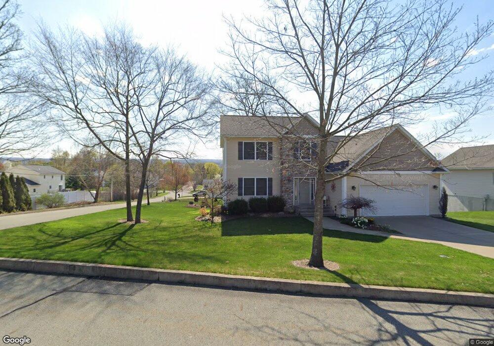
426 Callahan Dr Unit L34 Jermyn, PA 18433
Estimated Value: $272,000 - $528,401
--
Bed
--
Bath
--
Sq Ft
0.3
Acres
About This Home
This home is located at 426 Callahan Dr Unit L34, Jermyn, PA 18433 and is currently estimated at $389,600. 426 Callahan Dr Unit L34 is a home located in Lackawanna County with nearby schools including Lakeland Junior/Senior High School.
Ownership History
Date
Name
Owned For
Owner Type
Purchase Details
Closed on
Sep 18, 2009
Sold by
Marino John and Marino Linda
Bought by
Goerlitz Michael J and Goerlitz Jodi L
Current Estimated Value
Home Financials for this Owner
Home Financials are based on the most recent Mortgage that was taken out on this home.
Original Mortgage
$268,209
Outstanding Balance
$176,208
Interest Rate
5.28%
Mortgage Type
New Conventional
Estimated Equity
$213,392
Create a Home Valuation Report for This Property
The Home Valuation Report is an in-depth analysis detailing your home's value as well as a comparison with similar homes in the area
Home Values in the Area
Average Home Value in this Area
Purchase History
| Date | Buyer | Sale Price | Title Company |
|---|---|---|---|
| Goerlitz Michael J | $282,220 | None Available |
Source: Public Records
Mortgage History
| Date | Status | Borrower | Loan Amount |
|---|---|---|---|
| Open | Goerlitz Michael J | $268,209 |
Source: Public Records
Tax History Compared to Growth
Tax History
| Year | Tax Paid | Tax Assessment Tax Assessment Total Assessment is a certain percentage of the fair market value that is determined by local assessors to be the total taxable value of land and additions on the property. | Land | Improvement |
|---|---|---|---|---|
| 2025 | $9,075 | $24,700 | $6,700 | $18,000 |
| 2024 | $5,364 | $24,700 | $6,700 | $18,000 |
| 2023 | $5,364 | $24,700 | $6,700 | $18,000 |
| 2022 | $5,236 | $24,700 | $6,700 | $18,000 |
| 2021 | $5,236 | $24,700 | $6,700 | $18,000 |
| 2020 | $5,211 | $24,700 | $6,700 | $18,000 |
| 2019 | $4,966 | $24,700 | $6,700 | $18,000 |
| 2018 | $4,916 | $24,700 | $6,700 | $18,000 |
| 2017 | $4,916 | $24,700 | $6,700 | $18,000 |
| 2016 | $2,687 | $24,700 | $6,700 | $18,000 |
| 2015 | -- | $24,700 | $6,700 | $18,000 |
| 2014 | -- | $24,700 | $6,700 | $18,000 |
Source: Public Records
Map
Nearby Homes
- 0 Bacon St
- 441 Madison Ave
- 440 Washington Ave
- 0 Scranton Carbondale Hwy
- 0 Chestnut St
- 192 Shadow Wood Cir
- 880 Scranton - Carbondale
- 233 Shadow Wood Cir
- 815 Oak St
- 820 Oak St
- 426 Wildcat (Rt 247) Rd
- 590 N Main St
- 723 Chestnut St
- 0 Skyline Dr
- 0 Forest Ln
- 210 Kennedy Dr
- 0 Ledgewood Dr
- 9 Clayton Ln
- 197 Columbus Dr
- 430 Salem Rd
- 424 Callahan Dr Unit L33
- 425 Garfield Ave
- 423 Garfield Ave
- 421 Callahan Dr Unit L35
- 104 Raymond Dr
- 106 Raymond Dr
- 422 Callahan Dr
- 421 Garfield Ave
- 102 Raymond Dr
- 110 Raymond Dr
- 110 Raymond Dr
- 419 Garfield Ave Unit 38357326
- 419 Garfield Ave
- 420 Callahan Dr
- 426 Garfield Ave
- 424 Garfield Ave
- 424 Garfield L 10 Ave
- 103 Raymond Dr
- 112 Raymond Dr
- 422 Garfield Ave