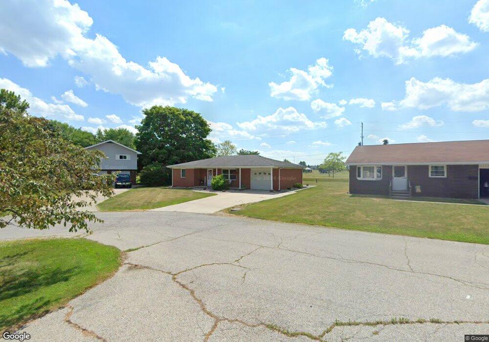
426 Clover Ln Wauseon, OH 43567
Estimated Value: $181,000 - $206,000
3
Beds
1
Bath
1,037
Sq Ft
$182/Sq Ft
Est. Value
About This Home
This home is located at 426 Clover Ln, Wauseon, OH 43567 and is currently estimated at $188,936, approximately $182 per square foot. 426 Clover Ln is a home located in Fulton County with nearby schools including Wauseon Primary School, Wauseon Elementary School, and Wauseon Middle School.
Ownership History
Date
Name
Owned For
Owner Type
Purchase Details
Closed on
Jan 13, 2010
Sold by
Fannie Mae
Bought by
C & J Capital Llc
Current Estimated Value
Purchase Details
Closed on
Nov 5, 2009
Sold by
Maurice Craig J
Bought by
Fanniemae and Federal National Mortgage Association
Purchase Details
Closed on
Aug 29, 2005
Sold by
Wyse Judy L and Wyse Eugene D
Bought by
Maurice Craig J
Home Financials for this Owner
Home Financials are based on the most recent Mortgage that was taken out on this home.
Original Mortgage
$123,600
Interest Rate
5.8%
Mortgage Type
Fannie Mae Freddie Mac
Purchase Details
Closed on
Nov 16, 1995
Sold by
Scott Robin A
Bought by
Elston Judy L
Home Financials for this Owner
Home Financials are based on the most recent Mortgage that was taken out on this home.
Original Mortgage
$52,000
Interest Rate
7.65%
Mortgage Type
New Conventional
Purchase Details
Closed on
Jan 1, 1990
Bought by
Garcia Robin A
Create a Home Valuation Report for This Property
The Home Valuation Report is an in-depth analysis detailing your home's value as well as a comparison with similar homes in the area
Home Values in the Area
Average Home Value in this Area
Purchase History
| Date | Buyer | Sale Price | Title Company |
|---|---|---|---|
| C & J Capital Llc | $72,500 | Ohio Title Corporation | |
| Fanniemae | $63,334 | Attorney | |
| Maurice Craig J | $123,600 | -- | |
| Elston Judy L | $65,000 | -- | |
| Garcia Robin A | -- | -- |
Source: Public Records
Mortgage History
| Date | Status | Borrower | Loan Amount |
|---|---|---|---|
| Previous Owner | Maurice Craig J | $123,600 | |
| Previous Owner | Elston Judy L | $52,000 |
Source: Public Records
Tax History Compared to Growth
Tax History
| Year | Tax Paid | Tax Assessment Tax Assessment Total Assessment is a certain percentage of the fair market value that is determined by local assessors to be the total taxable value of land and additions on the property. | Land | Improvement |
|---|---|---|---|---|
| 2024 | $2,488 | $48,930 | $7,770 | $41,160 |
| 2023 | $2,490 | $48,930 | $7,770 | $41,160 |
| 2022 | $2,210 | $36,970 | $6,480 | $30,490 |
| 2021 | $2,337 | $36,970 | $6,480 | $30,490 |
| 2020 | $2,172 | $36,970 | $6,480 | $30,490 |
| 2019 | $2,008 | $33,530 | $6,720 | $26,810 |
| 2018 | $1,742 | $33,530 | $6,720 | $26,810 |
| 2017 | $1,716 | $33,530 | $6,720 | $26,810 |
| 2016 | $1,682 | $29,050 | $6,720 | $22,330 |
| 2015 | $1,581 | $29,050 | $6,720 | $22,330 |
| 2014 | $1,462 | $29,050 | $6,720 | $22,330 |
| 2013 | $1,837 | $33,710 | $6,760 | $26,950 |
Source: Public Records
Map
Nearby Homes
- 420 Clover Ln
- 604 W Leggett St
- 749 Parkside Dr
- 263 W Chestnut St
- 744 Fairway Dr
- 234 W Chestnut St
- 115 W Superior St
- 115 W Leggett St
- 208 N Brunell St
- 125 Cherry St
- 218 Cherry St
- 204 Jefferson St
- 604 Cherry St
- 227 Wabash St
- 320 Orth Rd
- 351 E Walnut St
- 303 Eastwood St
- 527 E Elm St
- 00 Glenwood
- 0 Glenwood Unit 6124946